ESAEducationHoofdpaginaWeer en klimaatOpwarming van de AardeNatuurrampen
   
Aardbevingen
InleidingAardbeving in Izmit
Overstromingen
Overstroming in Thessaloniki
Orkanen
StormvloedenOrkaan Katrina
Vulkanen
IntroductieEtnaNyiragongoen en NyamuragiraVulkanengordel in de Andes
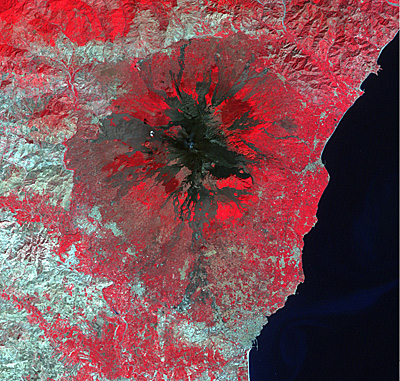


Article Images
Oefening 1: Verkennen van de vulkaan: vervolgd


Download:
 HI-RES JPEG (Size: 673 kb)
In the natural colour composite (band 3-2-1) healthy vegetation is green, unhealthy vegetation is brown/yellow, urban areas grey/reddish/brown, roads are grey, water is blue and clouds are white.

Credits: USGS
 
 
Download:
 HI-RES JPEG (Size: 797 kb)
In the false colour image (band 4-3-2) vegetation appears in shades of red (the near-IT band is assigned to red), urban areas are cyan blue, soils and bare land are browns or bluish, water is dark blue and clouds white.

Credits: USGS


Etna
Introductie
Veranderdetectie en risicobeoordeling
WerkbladinleidingOefening 1: Verkennen van de vulkaanOefening 2: Visuele interpretatie met vanaf de aarde genomen foto'sOefening 3: Lavadetectie: crisisbeelden en kaartenOefening 4: Risicobeoordeling - GIS kan helpen!
Eduspace - Download
Etna_Landsat_GIS.zip
Eduspace - Software
LEOWorks 3LEOWorks 3 Tutorial


   Copyright 2000 - 2014 © European Space Agency. All rights reserved.