
|
Antarctica 2003 - Hintergrund 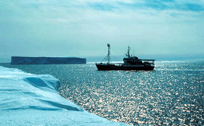 Antarctica 2003. 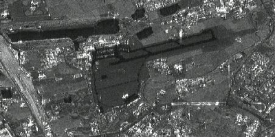 This ERS radar image shows an airport, roads, buildings and grassland. 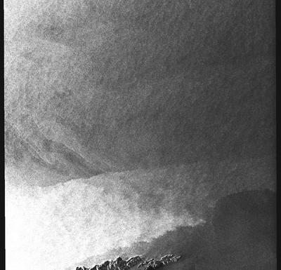 A radar image from a coastal image. When crossing the sea, wind speed changes. This is visible in grey tones: the brighter the pixel the higher the windspeed. 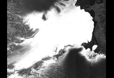 One of the largest glaciers of Antarctica: the Lambert glacier. The image size is 400 km across. 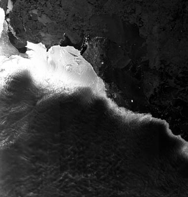 ASAR image acquired 21 November 2003, showing an 424 x 445km area of the Antarctic coast the total solar eclipse was due to occur in. Note the area of bright points representing glacier-calved icebergs towards the centre of the image; this region is where the Kapitan Khlebnikov icebreaker was located by 23 November. Envisat and Meteosat satellite images have been provided to the Antarctica 2003 team throughout their voyage. Meereistypen: 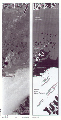 Example of interpretation of different ice types.  |