
|
La Antártida 2003 - Información 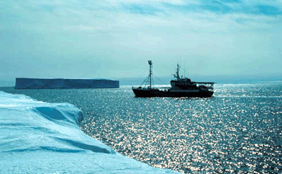 Antarctica 2003. 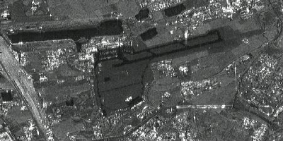 This ERS radar image shows an airport, roads, buildings and grassland. 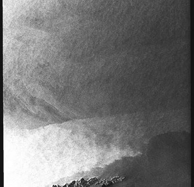 A radar image from a coastal image. When crossing the sea, wind speed changes. This is visible in grey tones: the brighter the pixel the higher the windspeed. 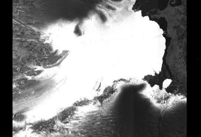 One of the largest glaciers of Antarctica: the Lambert glacier. The image size is 400 km across. 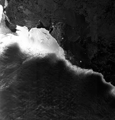 ASAR image acquired 21 November 2003, showing an 424 x 445km area of the Antarctic coast the total solar eclipse was due to occur in. Note the area of bright points representing glacier-calved icebergs towards the centre of the image; this region is where the Kapitan Khlebnikov icebreaker was located by 23 November. Envisat and Meteosat satellite images have been provided to the Antarctica 2003 team throughout their voyage.  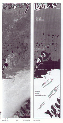 Example of interpretation of different ice types. |