
|
Exercizio 2 - Guida la rompighiaccio attraverso il ghiaccio con immagini e mappe - 2a parte 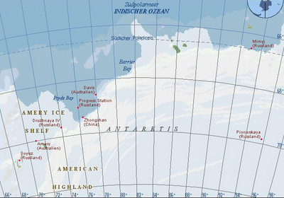 Overview map to plot the corner coordinates of the radar image (east). 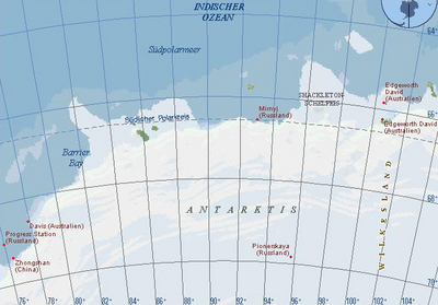 Overview map to plot the corner coordinates of the radar image (west). 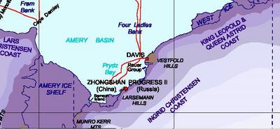 This map serves to get a good orientation of the area. 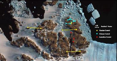 An aerial photo from the possible desembarking area. |