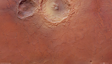
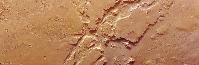
Echus Chasma, page two
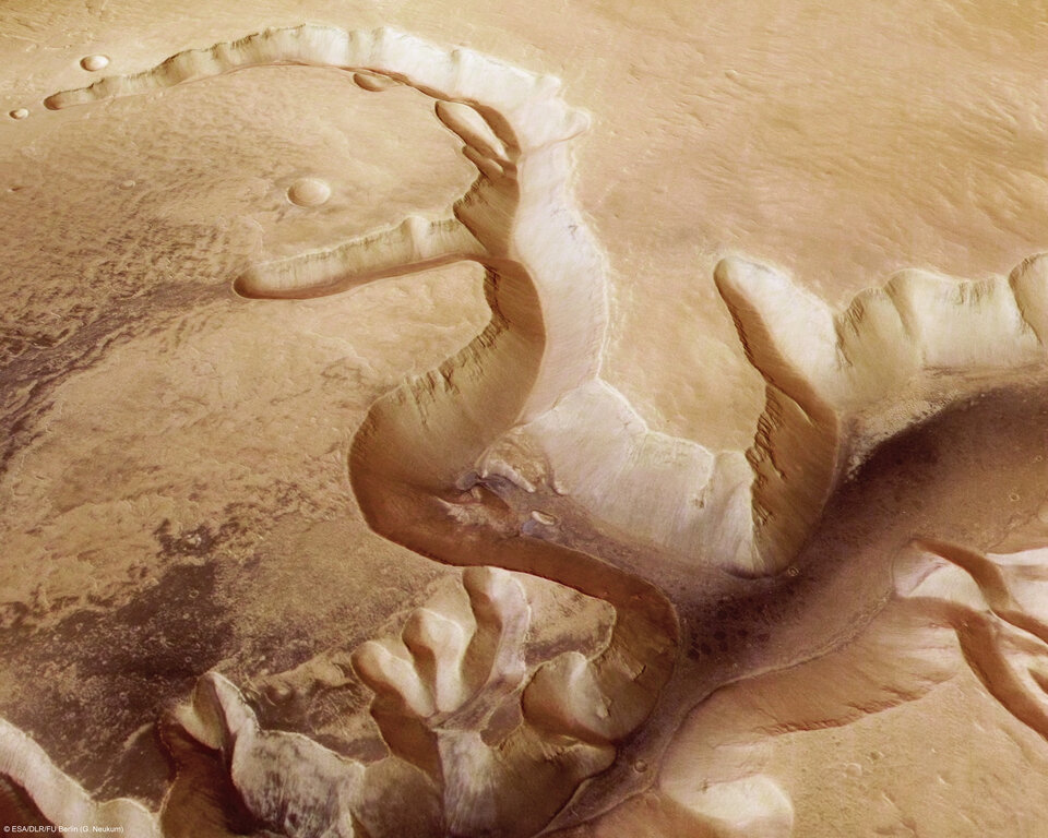
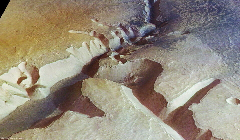
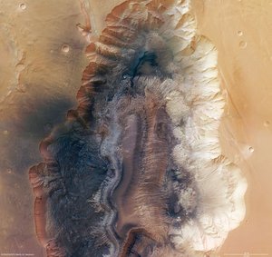
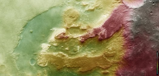
A 4000-m-high cliff marks the edge of the source area of Kasei Valles in its western part. Gigantic water falls may have once plunged over these cliffs on to the valley floor. The original shoreline is still partially visible. The remarkably smooth valley floor was later flooded by basaltic lava.
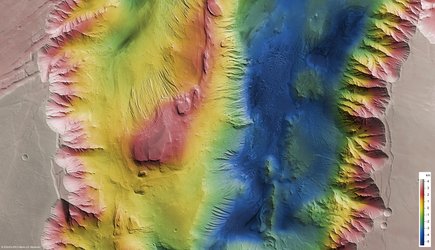
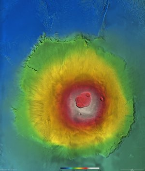
Images acquired in different orbits were combined to create the image mosaics, the map, as well as the colour-coded elevation model.
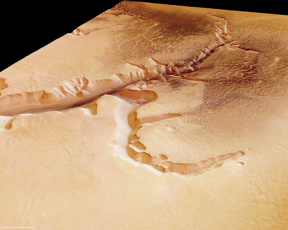
The colour scenes have been derived from the three HRSC-colour channels and the nadir channel. The perspective views have been calculated from the digital terrain model derived from the stereo channels.
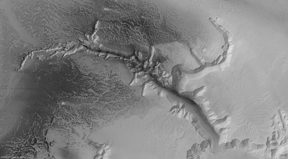
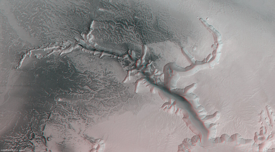
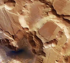
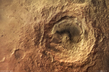
The anaglyph image was calculated from the nadir and one stereo channel. The black and white high resolution images were derived from the nadir channel, which provides the highest level of detail.