Greenland’s melting ice revealed by ESA satellite
01 August 2016
An ESA satellite called CryoSat has been measuring the amount of ice in Greenland. It has discovered that a lot of ice has been melting. The solid ice is turning into liquid water and then flowing into Earth’s seas, making them rise. This has many people worried because rising sea levels cause lots of problems like flooding coastal towns and cities all over the world.
Scientists think that Greenland’s ice is melting because of global climate change. Earth is getting hotter, and heat melts ice. The reasons for global climate change are complicated, but it is thought that emissions from cars and factories are partly responsible.

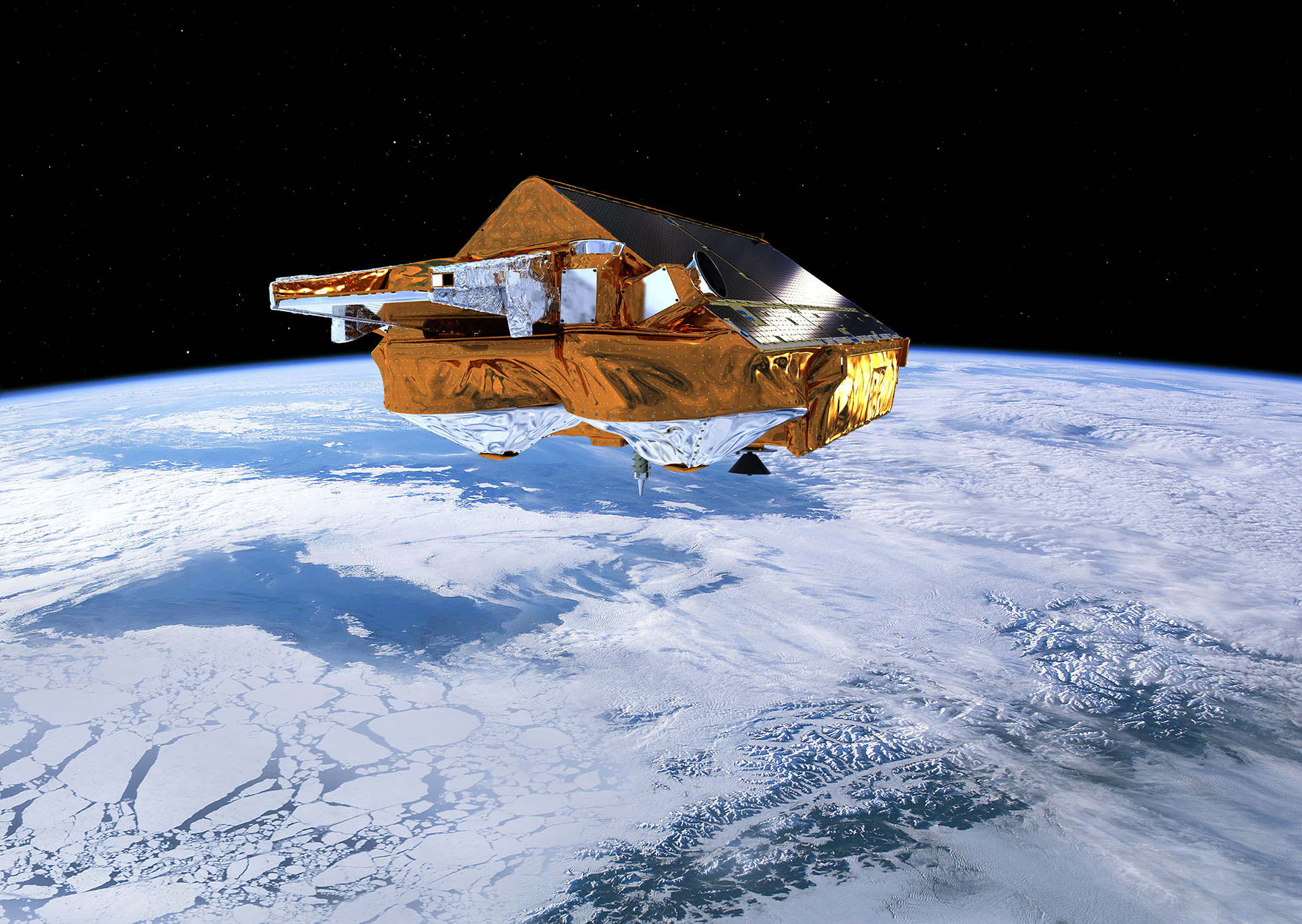
CryoSat measures the height of Greenland’s vast glaciers of ice very accurately. It does this by using a high-tech instrument called a radar altimeter. When CryoSat is positioned above Greenland the radar altimeter beams pulses of energy straight down at the ice below it. This energy bounces off the ice and then travels all the way back up to the radar altimeter. By timing how long it takes the energy to return it is possible to work out how high the ice is. The CryoSat satellite is able to measure around the edges of ice sheets, which is where most changes are actually happening!

CryoSat is a good example of how satellites in orbit around Earth help to monitor our planet. If we do not know there is a problem then we cannot do anything to solve it! Thanks to CryoSat we now have a good understanding of how Greenland’s melting ice is raising sea levels, so we can be better prepared to tackle the problem.
Cool fact: CryoSat orbits around 717km above Earth’s surface – almost twice as high as the International Space Station!


