‘Navipedia’: the reference for satellite navigation know-how
Satellite navigation is progressing swiftly, in fact so swiftly that its printed textbooks can’t keep pace – so ESA has introduced its own wiki-based information source, Navipedia, which is also the first ever ESA technical wiki opened to the public.
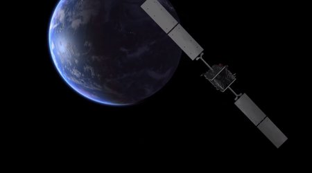
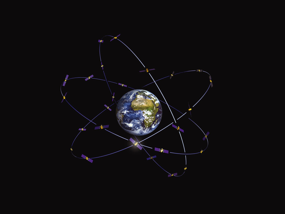
With ESA preparing to launch its next Galileo satellites, ground-based augmentation expanding rapidly, all other Global Navigation Satellite Systems (GNSS) evolving and new satnav applications emerging every day, this website’s launch comes at the right time.
Written and reviewed by experts, there are more than 400 articles on the site to date covering the fundamental principles of satellite navigation, how receivers operate, the various systems in current or future operation around the globe and GNSS-related services and applications.
“GNSS information on the internet is scattered widely and not always technically correct,” commented Guenter Hein, ESA’s Head of Galileo Operations and Evolution. “We also noticed many GNSS books were quickly outdated.”
“So, considering the extremely dynamic nature of the GNSS world today, we decided that having a duly updated single entry point GNSS wiki could be extremely beneficial for the entire GNSS community.”
“This new website is intended to serve a wide range of users from GNSS institutions and industry to academia and the public interested in knowing more,” said Javier Ventura-Traveset, responsible for the development of Navipedia and in charge of managing GNSS education activities for ESA.
“Navipedia articles have therefore been classified into three categories: basic, medium and advanced, with target audiences ranging from highly knowledgeable GNSS specialists to the general public. I am convinced Navipedia will be an excellent tool for promoting and supporting GNSS education in Europe.”

Meanwhile the European Geostationary Navigation Overlay System (EGNOS), which sharpens the accuracy of US GPS signals over Europe for aircraft landing guidance and other safety-of-life and precision applications, is being used in more airports across Europe. In parallel, other countries around the world are pushing their own global and regional systems forward.
The initial version of Navipedia was produced with contributions from GNSS experts at the GMV company – formally contracted for the task – as well as several European universities, notably the University Polytechnic of Catalonia, and an internal team of ESA navigation experts.

Following the Wiki (‘What I know is’) template the website is now being made editable also by outside contributors.
“We have now reached a sufficient critical mass of technical content so that we can open Navipedia to the external public,” added Javier. “We expect contributions from GNSS experts around the world, which will then be duly reviewed by an ESA technical editorial board, to ensure that the technical information provided is always reliable and sound.”
The beta version of Navipedia was launched at the Munich Satellite Navigation Summit on 14 March.
“ESA has been involved in GNSS technologies for more than a quarter of a century and today is serving as the design and procurement agent for both EGNOS and Galileo,” concluded Guenter. “This provides ESA with unique technical knowledge that Navipedia allows us to share, to help support GNSS education across Europe.”
To visit Navipedia, click the right hand link.