
The geodetic community meets Genesis
The first Genesis science workshop brought together the ESA project team and the scientific geodesy community to establish the Genesis Scientific Exploitation Team and to set the ground for future collaboration.
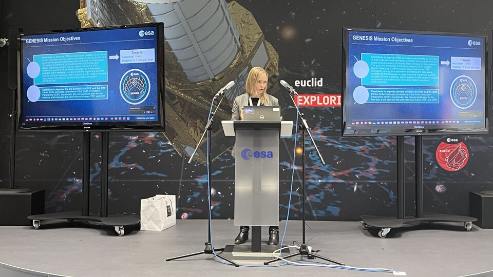
Genesis is a new ESA Navigation mission that has the goal to significantly contribute to improving the accuracy and stability of the International Terrestrial Reference Frame (ITRF). The ITRF is the foundation for all space- and ground-based observations in Navigation and Earth Sciences, and therefore this mission will potentially impact a large number of applications, from high precision navigation to climate and environmental monitoring. International cooperation is key to ensure the mission objectives arereached and to maximise the mission’s benefits.
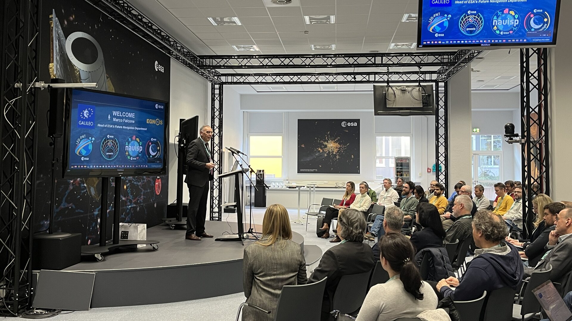
To meet this goal, the Genesis team has involved the scientific community at an early stage. On 29 February, over 100 scientists, representatives of international organisations and ESA experts met at the European Space Operations Centre (ESOC) in Darmstadt, Germany, home of the Navigation Support Office, and online, for the first Genesis science workshop.
Representatives from the International Earth Rotation and Reference Systems Service (IERS), the International Association of Geodesy (IAG), the International GNSS Service (IGS), International VLBI Service for Geodesy and Astrometry (IVS), International Laser Ranging Service (ILRS) and International DORIS Service (IDS), among others, had the opportunity to learn first-hand about the mission objectives and status.
The project team shared a proposal for the involvement of the scientific community in this mission, with working groups and an initial structure for the Genesis Science Exploitation Team (GSET). The GSET’s role is to advise the project team on mission development, qualification, calibration and operations, and compliance assessment to the mission objectives, as well as to exploit the mission’s data in the future.
The Genesis satellite will act as a geodetic (Earth-measuring) observatory in space that will carry instruments for the main geodetic techniques: very-long-baseline interferometry, satellite laser ranging, DORIS and satellite navigation. An ultra-stable oscillator on board will ensure the instruments are synchronised.
The project team took the opportunity to present the Genesis processing, archiving and distribution centre that will process mission data, generate data products, disseminate and archive them, with participation from the ESOC Navigation Support Office and ESAC GNSS Science Support Centre.
Genesis is approaching its official kick-off later this month, marked by the award of contracts to European industry. “The mission will be implemented in a fast pace, with a vision to provide the best outcome for mission exploitation within the programmatic boundaries,” said Genesis Project Manager Sara Gidlund. “This science workshop sets the scene for what we need to do in the coming years and establishes from the very beginning a good interface between ESA and the scientific community.”
Head of Future Navigation Department Marco Falcone added: “We have been excited about Genesis and its huge potential since it was approved at the ESA Ministerial Council in November 2022. Genesis is a mission for the world, and ESA is proud to contribute towards the definition of the International Terrestrial Reference Frame down to millimetre accuracy.”
About GENESIS
Genesis is a mission of the FutureNAV programme, an optional ESA Navigation programme with support from Italy, Belgium, France, Switzerland, Hungary and the UK. Genesis was approved at ESA’s Ministerial Council in 2022, as one of two FutureNAV programme missions.
The goal of Genesis is to significantly contribute to improving the accuracy and stability of the International Terrestrial Reference Frame (ITRF). The ITRF serves as a reference frame for navigation systems and many measurements on Earth and in space.
Improving the ITRF would impact high accuracy navigation applications with benefits in aviation, autonomous vehicle driving and traffic management, for example. In Earth sciences it would help refine models used for climate and environmental monitoring, among other applications.
Genesis' extreme accuracy is achieved by co-locating the main geodetic (Earth-measuring) techniques (satellite navigation, very-long-baseline interferometry, satellite laser ranging and DORIS) onboard one satellite that acts as a flying observatory. The instruments will be synchronized by an ultra-stable oscillator (USO).