Sea-level monitoring satellite on show
Media representatives and mission partners gathered today in Germany to see a new satellite, which will take the lead in charting sea-level change, before it undergoes final testing and is packed up for shipment to the US for lift-off next year.
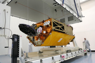
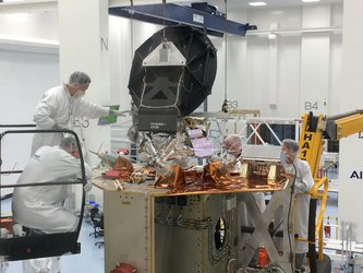
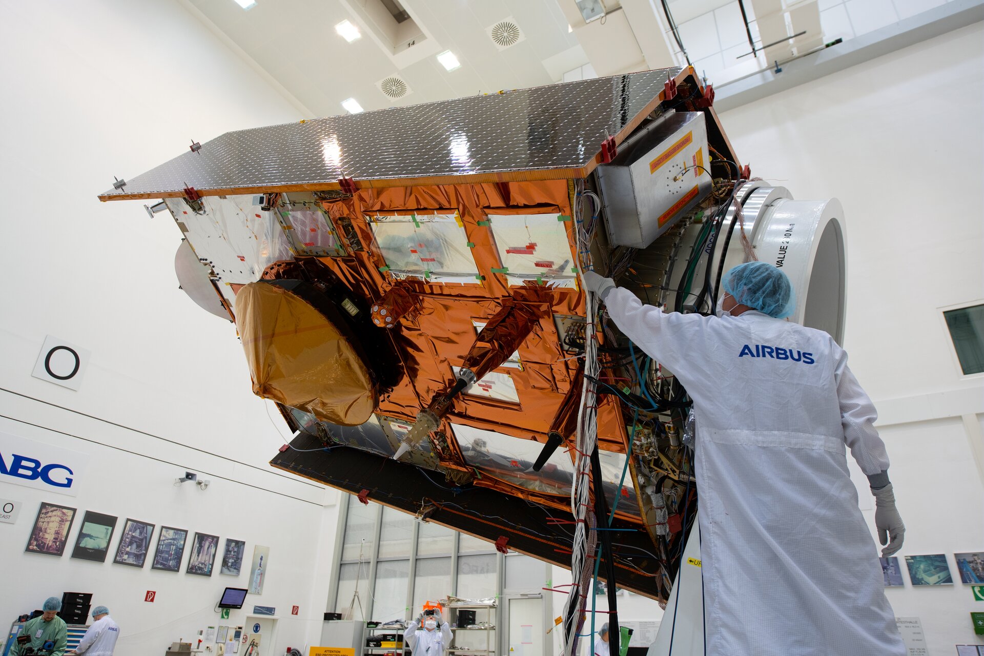
Copernicus Sentinel-6 was on full display at the IABG space test centre near Munich, giving media and partners in the mission a unique opportunity to see this remarkable new satellite up close.

ESA’s Director of Earth Observation Programmes, Josef Aschbacher, said, “We are all extremely proud to see the complete satellite on show here in the cleanroom. With global sea level rising at shocking rates, Copernicus Sentinel-6 will take the lead in providing systematic measurements of sea level so that the worrying trend in sea-level rise can be closely monitored and key information provided for important policy decisions.”
Sentinel-6 is realised thanks to cooperation between ESA, NASA, the European Commission, EUMETSAT and NOAA.
“The mission has been developed thanks to the outstanding international cooperation with our US partners. Sentinel-6 is indeed a model case of pan-European and US–European cooperation, taking advantage of a 26-year history in altimetry measurements from space on both sides of the Atlantic.”

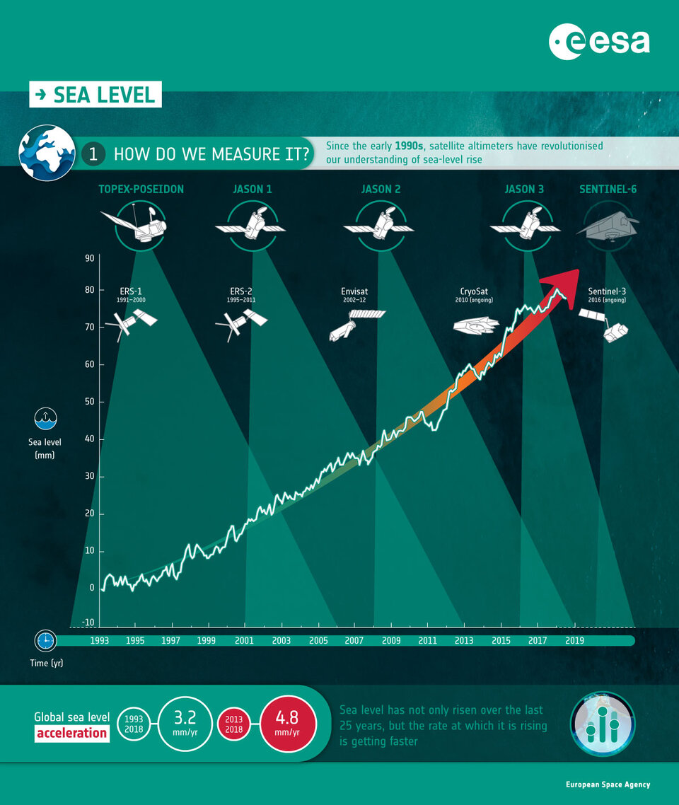
Sentinel-6 builds on heritage from previous ocean topography satellites, including the French–US Topex-Poseidon and Jason missions, previous ESA missions such as the ERS satellites, Envisat and CryoSat, as well as Copernicus Sentinel-3.
These missions have shown how sea level rose by about 3.2 mm on average a year between 1993 and 2018, but more alarmingly, that the rate of rise has been accelerating over the last few years. It is now rising at 4.8 mm a year.
Caused mainly by warming ocean waters, melting glaciers and diminishing ice sheets, sea-level rise is one of the most severe consequences of climate change. With millions of people around the world at risk from rising seas, it is essential to continue measuring the changing height of the sea surface so that decision-makers are equipped to take appropriate mitigating action.
The Copernicus Sentinel-6 satellite will map up to 95% of Earth’s oceans every 10 days. The mission will use a radar altimeter to observe changes in sea-surface topography with centimetre precision, providing insights into global sea levels, the speed and direction of ocean currents and ocean heat storage.
These measurements are not only critical for monitoring our rising seas, but also for climate forecasting, sustainable ocean-resource management, coastal management and environmental protection, the fishing industry, and more.
The Copernicus Sentinel-6 satellite will be launched in November 2020 from the Vandenberg Air Force Base in California, US on a Falcon-9. It will be the first time ESA cooperates, through NASA, with the private US aerospace manufacturer SpaceX, which was founded in 2002 by Elon Musk.