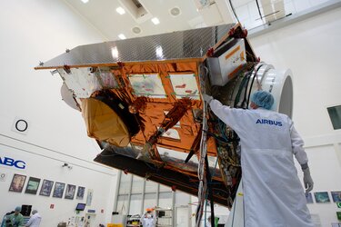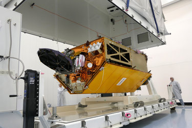
Sentinel-6 overview
Records show that, on average, global sea level rose by 3.2 mm a year between 1993 and 2018, but hidden within this average is the fact that the rate of rise has been accelerating over the last few years. Taking measurements of the height of the sea surface is essential to monitoring this worrying trend – and the Sentinel-6 mission is on the way to being ready to do just this.
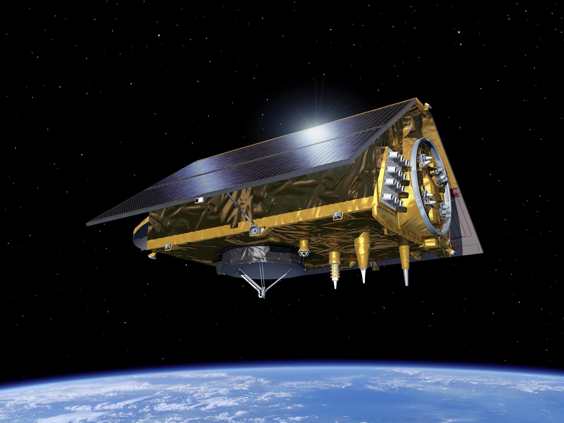
The mission is a constellation of two identical satellites that are launched sequentially. Each satellite carries a radar altimeter to provide high-precision and timely observations of the topography of the global ocean.
This information is essential for the continued monitoring of changes in sea level, a key indicator of climate change. It is also essential for operational oceanography.
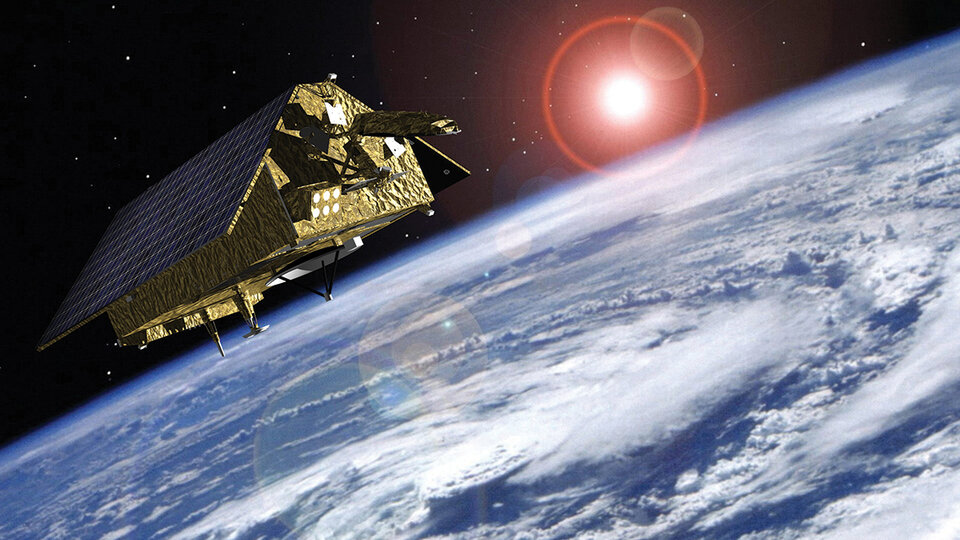
Mapping up to 95% of Earth’s ice-free ocean every 10 days, it offers vital information on ocean currents, wind speed and wave height for maritime safety. The data are also important for protecting and managing the increasingly busy coastal zones.
Sentinel-6 builds on heritage from the Jason series of ocean topography satellites.
While it is one of the European Union’s family of Copernicus satellite missions, Sentinel-6 is also being realised thanks to cooperation between ESA, NASA, NOAA and Eumetsat. As part of this international cooperation, Sentinel-6 is also equipped with an advanced microwave radiometer, which has been supplied by NASA. The radiometer accounts for the amount of water vapour in atmosphere, which affects the speed of the altimeter’s radar pulses.