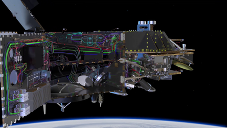
Sentinel-3
A bigger picture for Copernicus

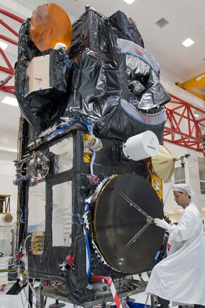
The mission
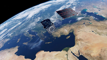
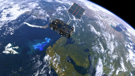
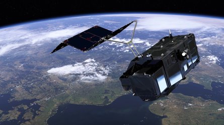
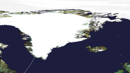
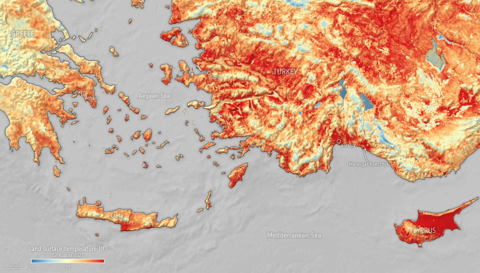
Carrying a suite of cutting-edge instruments, Copernicus Sentinel-3 measures systematically Earth’s oceans, land, ice and atmosphere to monitor and understand large-scale global dynamics. It provides essential information in near-real time for ocean and weather forecasting.
The launch
Date: Sentinel-3A on 16 February 2016
Sentinel-3B on 25 April 2018
Sentinel-3C in 2026
Site: Sentinel-3A and -B from Plesetsk Cosmodrome, Russia
Sentinel-3C from Europe's Spaceport, French Guiana
Launcher: Sentinel-3A and -B on Rockot
Sentinel-3C on Vega-C

Latest


-
Applications Image gallery

-
Applications Video gallery

-
Applications Downloads

-
Applications Documents and publications