
Workshop on the Inter-Comparison of Large-Scale Optical Sensors
Observing the Earth from space is essential if we are to monitor and understand our changing climate. However, it is imperative that observations made by satellite sensors from different space agencies are comparable so that quantitative global data products can be derived from a range of data sources.
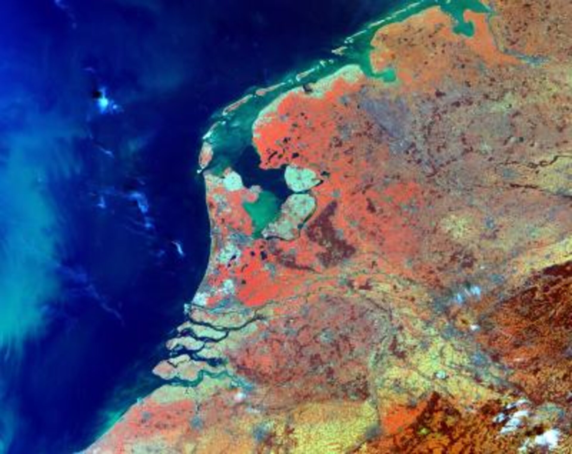
Therefore, on 12-14 October 2004, the European Space Agency will host a Workshop on the Inter-Comparison of Large-Scale Optical and Infrared Sensors at its establishment ESTEC in the Netherlands. (For the submission of abstracts and registration details please click here). The main aim of the workshop is to exchange experience and knowledge on the comparison and combination of moderate spatial-resolution optical sensor outputs in order to assess the best way forward to ensure the compatibility of different sensor data.
A range of space-borne instruments is currently providing us with a wealth of information on many aspects of our environment. The Medium Resolution Imaging Spectrometer (MERIS) on Envisat, for example, is advancing our knowledge about ocean biology, marine water quality, vegetation on land, clouds and water vapour. Other instruments from polar orbit such as AVHRR, SeaWIFS, MODIS and MISR, as well as geostationary satellites like the Meteosat series contribute to monitoring the Earth and its environment on a global scale. The combination of these data in higher level products would greatly enhance our capability to monitor the Earth as a system.
Operational services need to combine data and images from agencies such as NASA, NOAA, ESA, EUMETSAT, ISRO, JAXA and CNES if a coherent picture is to be achieved. Therefore, there is now a real challenge to provide very stable, well-calibrated instruments and combinable datasets from a number of different missions. The objective is to enable the provision of reliable global data of high radiometric, geometric and spectral quality.

The issue of sustainable global monitoring based on the compatibility of different sensors was identified as a matter of priority by the Committee on Earth Observation (CEOS) through its Working Group on Calibration and Validation. Its sub-group IVOS addressing Infrared- Visible Optical Systems has initiated the workshop in October as a first step towards a global coordinated effort to achieve a common basis for the combination of optical satellite information from different sources.
