Using artificial intelligence to automate sea-ice charting
Reliable maps of sea-ice conditions and forecasts are of vital importance for maritime safety, safe navigation and planning. The continued retreating and thinning of Arctic sea ice calls for a more effective way of producing detailed and timely ice information – which is where artificial intelligence comes in.
Manual ice-charting from multi-sensor satellite data has been used for years, but it is time-consuming because of the vast area of the Arctic Ocean. In order to provide relevant ice data, there is a need for automated ice observations from satellite data, to integrate into ice forecast models.
In response to this, the Danish Meteorological Institute (DMI), the Technical University of Denmark and Harnvig Arctic & Maritime have initiated the project Automated Sea Ice Products (ASIP) – funded by the Innovation Fund Denmark. The project aims to develop an automatic sea-ice service that can provide more timely and detailed sea-ice information to improve efficiency and safety of marine operations in the Arctic.
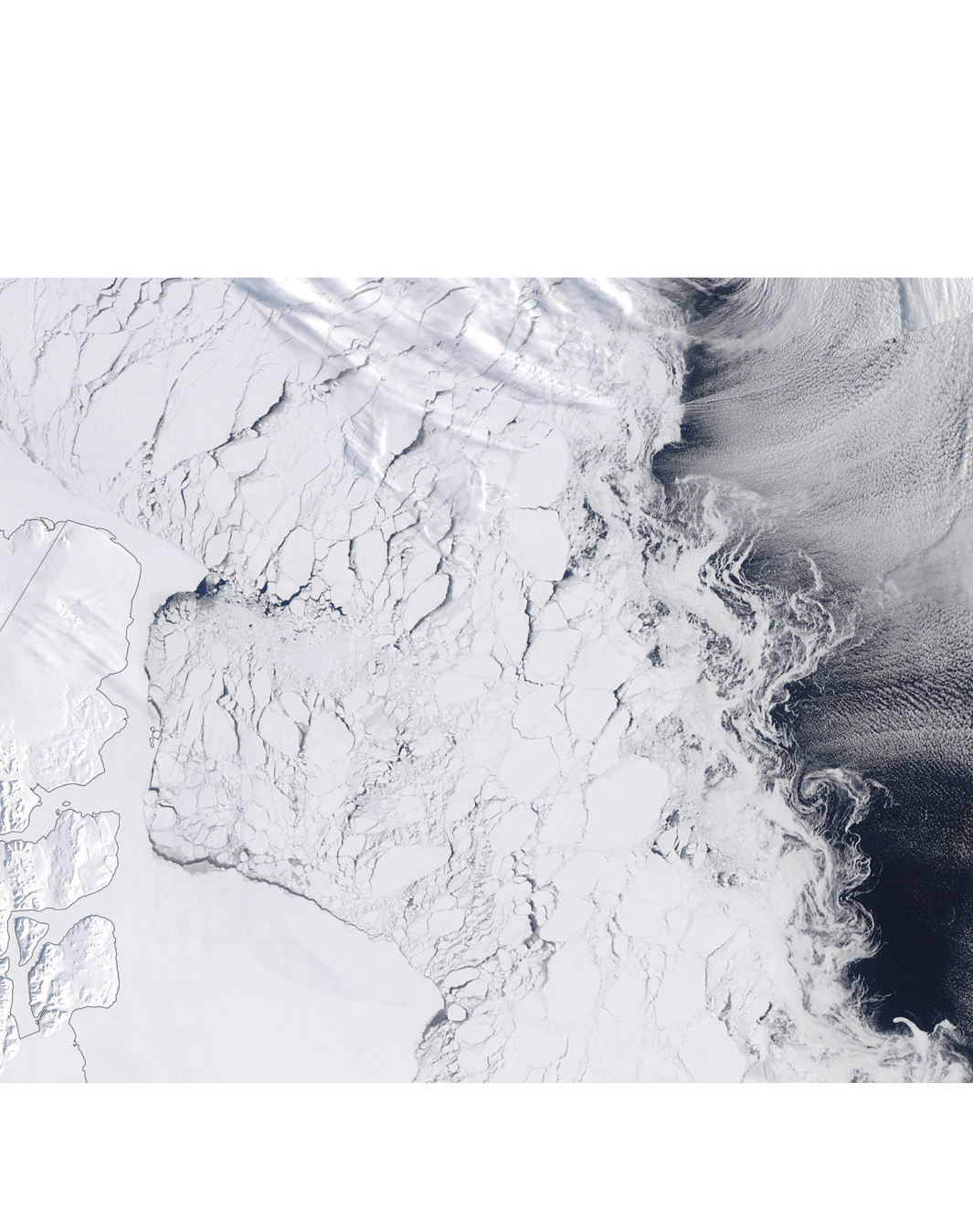
ASIP merges Copernicus Sentinel-1 imagery with other satellite sensor data, such as passive microwave data from the Advanced Microwave Scanning Radiometer 2 (AMSR2) to resolve ambiguities that can occur in SAR imagery, such as during windy sea conditions. ASIP uses a convolutional neural network system that is trained with vast datasets of ice charts, to generate ice maps automatically.
“ASIP will be a great opportunity for users to have an up-to-date map of sea-ice products. We are currently working hard to get this in production and validate it with both the ice experts and the users,” says David Malmgren-Hansen from DTU Compute.
ASIP will be made freely available through the DMI Ice Service, for maximum value for both public and commercial users.
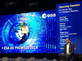
David Malmgren-Hansen presented his project at this year’s Φ-week event, which focuses on Earth observation and FutureEO. The week includes a variety of inspiring talks, workshops on how Earth observation can benefit from the latest digital technologies and help shape future missions.