

Harmonizing satnav for aviation: SBAS experts meet
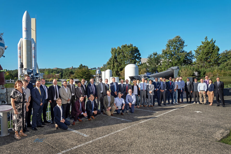
More than 150 000 aircraft and 5000 airports worldwide are equipped with Satellite-based Augmentation System (SBAS) technology for safer flying. Specialists overseeing these systems met from 19 to 21 September for the 38th SBAS Interoperability Working Group meeting, hosted by ESA in Toulouse, to coordinate efforts for seamless navigation.
Satellite-based Augmentation Systems (SBAS) improve the performance of Global Navigation Satellite Systems (GNSS), increasing navigation accuracy and reliability, crucial for safety-critical operations such as landing procedures in civil aviation. To make sure these regional systems are compatible and interoperable, SBAS service providers meet periodically to cooperate and coordinate their actions.
The latest gathering, the 38th SBAS Interoperability Working Group (IWG), took place from 19 September to 21 September and was hosted by ESA’s European Geostationary Navigation Overlay Service (EGNOS) and SBAS Division in Toulouse, France, home to ESA’s EGNOS development teams.
In this meeting, specialists responsible for SBAS systems including EGNOS, the African ANGA, the North American WAAS, the Japanese MSAS, the Indian GAGAN, the Chinese BDSBAS, the South Korean KASS and SouthPAN of Australia and New Zealand reviewed the status of the different programmes and discussed standard updates and system upgrades.
Participants also joined dedicated sessions for operational demonstrations and for SBAS research and development, where they looked into Artificial Intelligence-based tool prototypes to support airport operations by predicting service areas impacted by satellite or ground monitoring station outages.
With more aircraft than ever using satnav augmentation - more than 150 000 and increasing - and deployment of procedures in over 5000 airports in Europe, the US, India and Japan, it is vital that the different regional systems can be used together, both to make each system more efficient and to ensure they all can be integrated into a seamless worldwide navigation system.
“SBAS improve safety of navigation and are helping reduce delays and flight cancellations – of course the number of users is rocketing! As the coverage of SBAS continues to expand, it is more important than ever that we work together to ensure the interoperability of our systems as we aspire to offer a connected global navigation system without gaps,” said Didier Flament, ESA’s Head of EGNOS and SBAS Division, who co-chaired the meeting together with Greg Thompson from the US Federal Aviation Administration.

SBAS systems such as EGNOS use accurately located ground monitoring stations to measure GNSS errors. They then broadcast through geostationary satellites a signal containing information on the reliability and accuracy of the positioning sent out by GNSS, ‘augmenting’ satnav performance.
SBAS are used in situations where people’s lives are at stake, most notably in aviation where GNSS usually does not satisfy the strict operational requirements set by the International Civil Aviation Organisation (ICAO).
Europe will celebrate 30 years of satnav navigation in 2025 in commemoration of the EGNOS programme kick off in 1995. The SBAS IWG was set up by ESA and the FAA shortly after, in 1997, to establish adequate cooperation and coordination between EGNOS and WAAS. The 39th SBAS IWG meeting will take place next year in Kyoto, Japan.

EGNOS is the first pillar of Europe’s navigation programme, second being the Galileo satellite navigation system. While it currently works with GPS signal, the next generation SBAS system EGNOS v3 will augment both GPS and Galileo. Among other enhancements, it will provide improved performance under severe ionospheric conditions. EGNOS v3 services will be introduced gradually by the end of this decade.
About EGNOS
The European Geostationary Navigation Overlay Service (EGNOS) is Europe’s Satellite-based Augmentation System (SBAS). EGNOS enhances the accuracy and reliability of positioning data provided by GPS - and soon Galileo - in Europe. Since March 2011, EGNOS has been certified for Safety of Life applications such as critical civil aviation operations as well as maritime and land-based use.
EGNOS is a flagship programme of the European Union, managed and funded by the European Commission. Since its inception, ESA leads the design, development and qualification of the system. The EU Agency for the Space Programme (EUSPA) acts as the service provider, together with the operator European Satellite Service Provides (ESSP).
For more info about EGNOS: https://egnos-user-support.essp-sas.eu/.