Turbulences in Venus’s atmosphere
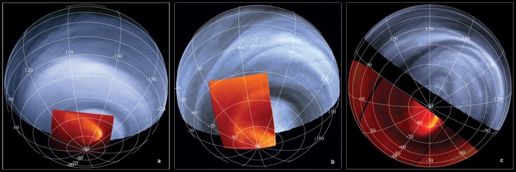
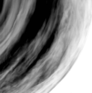
This image of the near-equatorial region of Venus was acquired on 24 September 2006 by the Ultraviolet, Visible and Near-Infrared Mapping Spectrometer (VIRTIS) on board ESA’s Venus Express, from a distance of about 37 000 kilometres from the planet’s surface.
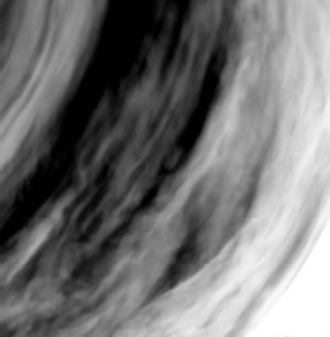
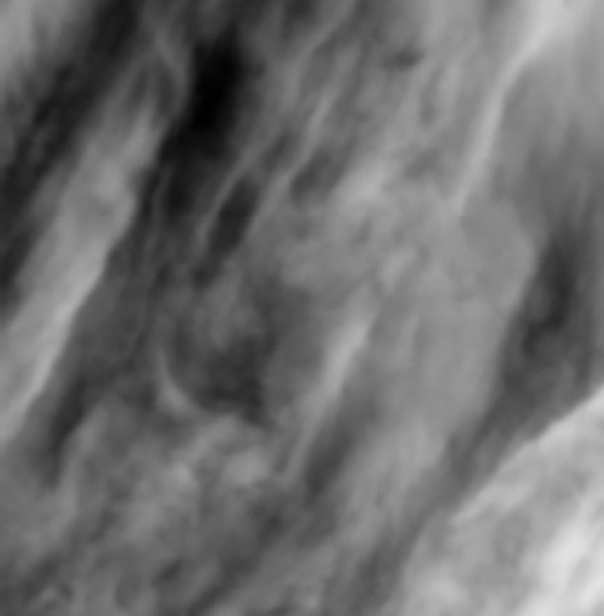
The image, taken on the night-side of Venus at a wavelength of 1.7 micron, provides a close-up view of a highly turbulent region, with irregular and warped clouds, which is common at these low latitudes. This is different from what happens at higher latitudes (pole-ward) where clouds are generally streaky and more regularly shaped.
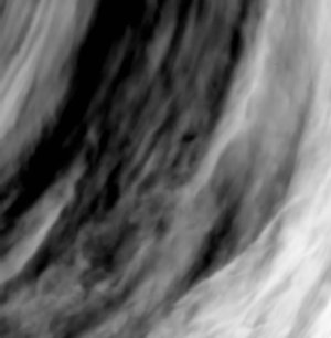
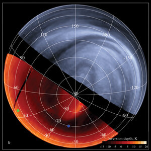
The gray ‘bubble’ slightly below the centre of the image is located at about 27 degrees southern latitude and 7 degrees western longitude, and has a diameter of about 300 kilometres.
The Alpha Regio area is at the bottom left of the image. This area is characterised by a series of troughs, ridges, and faults that are oriented in many directions, with surface features that can be up to 4 kilometres high. It is not yet clear if atmospheric turbulences may be induced by the rough topography below the clouds.
The grey-scale of the images is such that white signifies more transparency, therefore less clouds, while darker or blacker regions represent opacity, or thicker clouds.