Agency
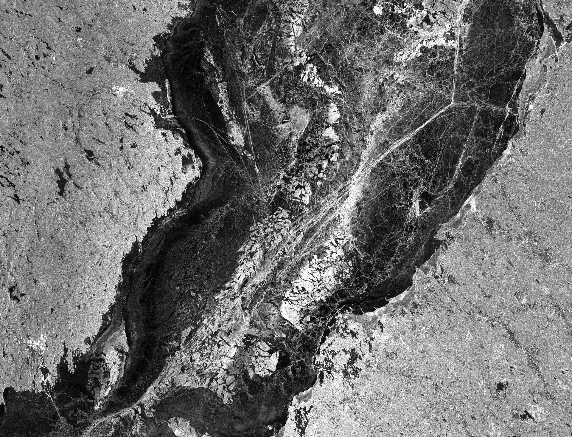
PALSAR image of sea ice in Baltic Sea
This image of sea ice over the Gulf of Bothnia in the Baltic Sea is comprised of ALOS L-band Synthetic Aperture Radar (SAR) data acquired from the satellite’s Phased Array type L-band Synthetic Aperture Radar (PALSAR) instrument. PALSAR data were used as part of a sea ice survey campaign entitled ‘Improved sea-ice monitoring for the Baltic Sea’. The campaign was funded by the Swedish National Space Board (SNSB), the Swedish Meteorological and Hydrological Institute (SMHI) and the Swedish Maritime Administration (SMA).