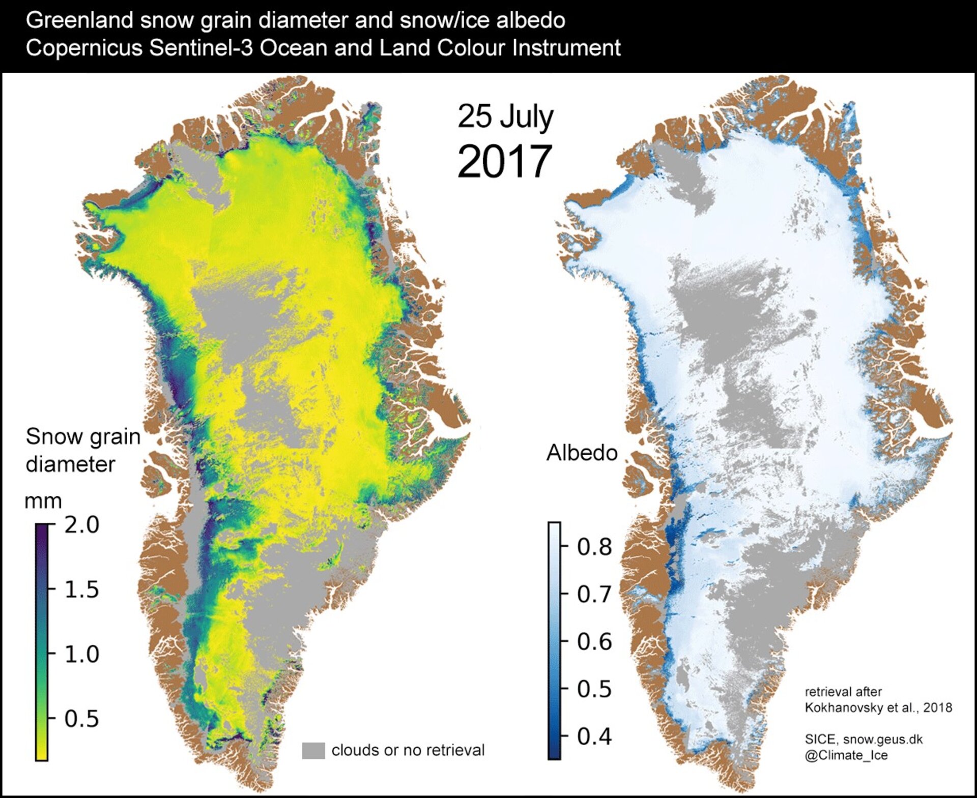
Greenland snow grain diameter and reflectance
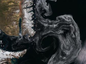
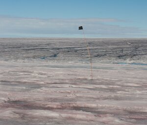
As climate change progresses, environmental data covering the Arctic and Antarctic becomes ever more important. In these remote, harsh and often dark regions, it is very difficult to collect data from the ground. Instead, satellites provide the most consistent, repeatable, year-round and wide-coverage information. This, combined with the polar regions covering a third of Earth’s surface, makes polar researchers the biggest user group of Earth observation satellite data.
To support researchers, industry, local indigenous populations and regional and national governments, in 2015 ESA asked global organisation Polar View to develop a Thematic Exploitation Platform that would make data, tools and resources relevant to the polar regions available in one place.
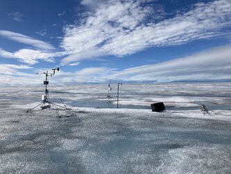
The platform is used by people around the world in their own polar-related projects and is constantly evolving to meet their needs. One such user is the Geological Survey of Denmark and Greenland (GEUS), who are using data from the Copernicus Sentinel-3 satellite to generate information related to the grain size and amount of sunlight reflected by snow in Greenland. This is important because the dominant energy source driving the melting of the Greenland ice sheet is the amount of absorbed sunlight.