Iceland part of Europe’s first satellite navigation system
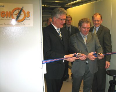
It will be possible for everyone to know their position within accuracy of two metres by mid-2004 using EGNOS, the European Geostationary Navigation Overlay Service. The latest step towards implementing the network was the inauguration last week of new facilities in Iceland.
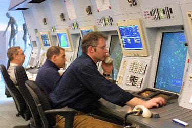
Two new ground elements called Ranging and Integrity Monitoring Stations (RIMS) have been implemented. One is located on the east coast of this northern island, in Egilstaadir. The other is near the domestic airport of picturesque capital Reykjavik, within the premises of the ICAA (Icelandic Civil Aviation Administration).
“It is a big moment in the history of Radio Navigation in Iceland” said Sturla Bodvarsson, Minister of Communications, Transport and Tourism “and this service will improve accuracy and safety for air navigation and other types of transport in Iceland”.
For Iceland this cooperation marks a major step in the development of GNSS technology. This includes benefits for different GNSS users both in the aviation sector and other areas.
“The program has brought challenges and learning experience to the Icelandic navigation experts that participate in this important program” said Haukur Hauksson, deputy director of ICAA and project supervisor adding that “this development will facilitate considerable savings in navaids installation and operational costs”.
The monitoring stations in Iceland offer EGNOS coverage deep into the north Atlantic region, one of the busiest air traffic routes. In fact EGNOS was developed to provide a highly accurate signal to improve safety for civil aviation, with the potential for worldwide coverage. For such so called “safety of life” services a certification process will start once the EGNOS signal is fully available and it should be integrated in air traffic management systems by 2006. However all other potential users of satellite navigation will benefit. For example, in a country like Iceland people hiking in the open countryside will be assured that they are on the right path if they are surrounded by fog - as can happen without warning in those areas. Also fishermen will be able to find it easier to locate their favourite, most promising spots.
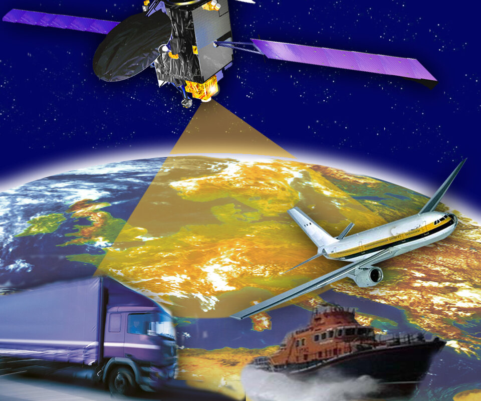
EGNOS is Europe’s first step into satellite navigation. The system is based on the correction of GPS signals, thus it provides better accuracy - less than two metres, compared to 15 to 20 of raw GPS signals. To achieve this, a network of ground elements is needed. It consists of what are known as RIMS (Ranging and Integrity Monitoring Stations - there will be 34 like those in Iceland) and MCCs (Master Control Centres) to process the data delivered by the RIMS. Finally uplink stations will send the signal to three geostationary satellites that relay it back for reception by end-users on the gound.
Altogether 47 EGNOS elements are being deployed at 41 sites in 22 countries. Agreements have been concluded with 28 hosting entities like the ICAA in Reykjavik.
EGNOS is an initiative of the tripartite group: the European Space Agency (ESA), the European Commission and Eurocontrol.
With EGNOS Europe is showing its know how in satellite navigation and creating a community of users in Europe and beyond for the benefit of everyone, everywhere. EGNOS is the first step towards Galileo, the civil initiative for global navigation satellite services.