What is Galileo?
Galileo will be Europe's own global navigation satellite system, providing a highly accurate, guaranteed global positioning service under civilian control. It will be inter-operable with GPS and GLONASS, the two other global satellite navigation systems.
A user will be able to determine their position with a single receiver using any of the satellites in any combination. By offering dual frequencies as standard, however, Galileo will deliver real-time positioning accuracy down to the metre range, which is unprecedented for a publicly available system.
Galileo will guarantee availability of the service under all but the most extreme circumstances and will inform users within seconds of a failure of any satellite. This will make it suitable for applications where safety is critical, such as controlling trains and landing aircraft.

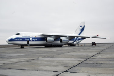
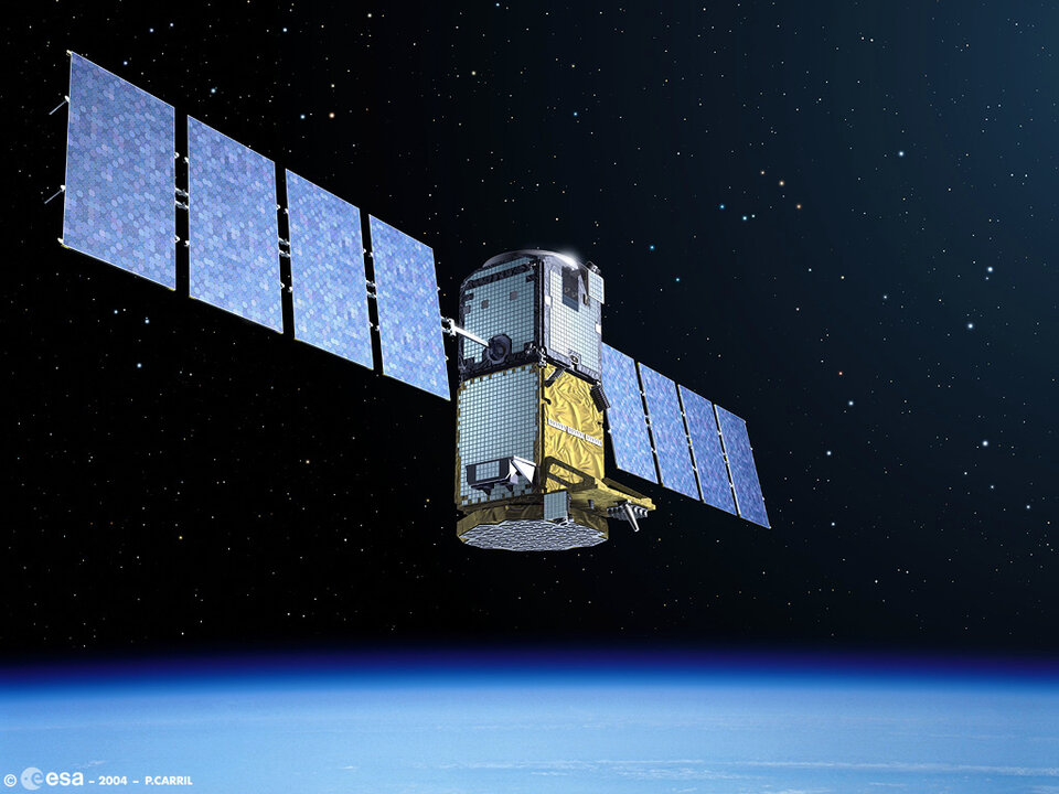
The first experimental Galileo satellite, GIOVE-A, was launched on 28 December 2005. The objective of this mission was to characterise and validate the critical technologies required for Galileo, which were developed under ESA contracts.
GIOVE-A results are largely in line with specifications, which gives good confidence for the future of the programme and shows that Galileo is on the right track.
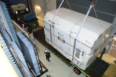
GIOVE-B will be launched in late April 2008. This mission will continue the work started by
GIOVE-B will carry a high-precision passive maser clock - the most accurate clock ever flown in space - and will be capable of triple-channel transmission of navigation signals. The satellite will be able to transmit a signal complying with a specific standard (known as MBOC), in accordance with an agreement reached only a few months ago by the European Union and the United States for their respective systems.
During 2010, four operational satellites - the basic minimum for satellite navigation in principle - will be launched to validate the Galileo concept with both segments: space and the related ground infrastructure. Once this In-Orbit Validation (IOV) phase has been completed, the remaining satellites will be installed to reach the Full Operational Capability (FOC).
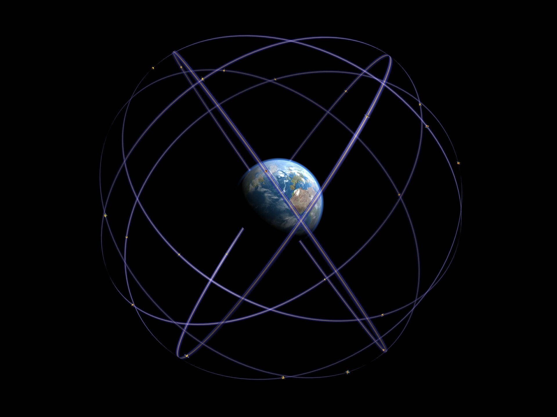
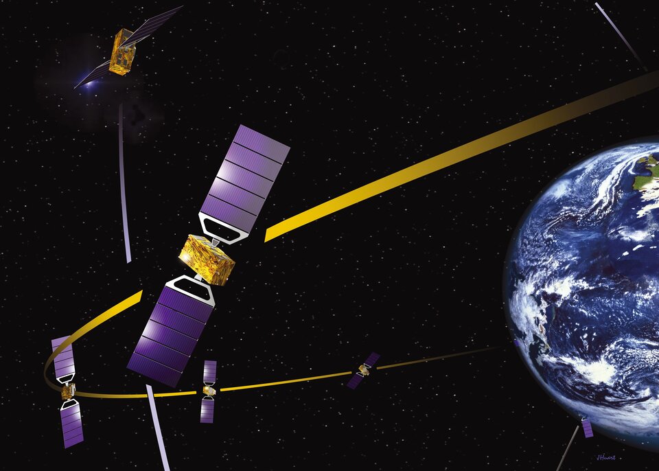
The fully deployed Galileo system consists of 30 satellites (27 operational + 3 active spares), positioned in three circular Medium Earth Orbit (MEO) planes at 23 222 km altitude above the Earth, and at an inclination of the orbital planes of 56 degrees with reference to the equatorial plane.
Once this is achieved, the Galileo navigation signals will provide good coverage even at latitudes up to 75 degrees north, which corresponds to the North Cape, and beyond. The large number of satellites together with the optimisation of the constellation, and the availability of the three active spare satellites, will ensure that the loss of one satellite has no discernible effect on the user.
Two Galileo Control Centres (GCCs) will be implemented on European ground to provide for the control of the satellites and to perform navigation mission management. The data provided by a global network of twenty Galileo Sensor Stations (GSSs) will be sent to the GCCs through a redundant communications network. The GCCs will use the data from the sensor stations to compute the integrity information and to synchronise the time signal of all satellites with the ground station clocks. The exchange of the data between the control centres and the satellites will be performed through uplink stations. Five
As a further feature, Galileo will provide a global Search and Rescue (SAR) function, based on the operational COSPAS-SARSAT system. To do so, each satellite will be equipped with a transponder, which is able to transfer the distress signals from the user transmitters to the rescue coordination centre, which will then initiate the rescue operation.
At the same time, the system will provide a signal to the user in distress, informing them that their beacon signal has been detected and that help is on the way. This latter feature is new and is considered a major upgrade compared to the existing system, which does not provide feedback to the user.