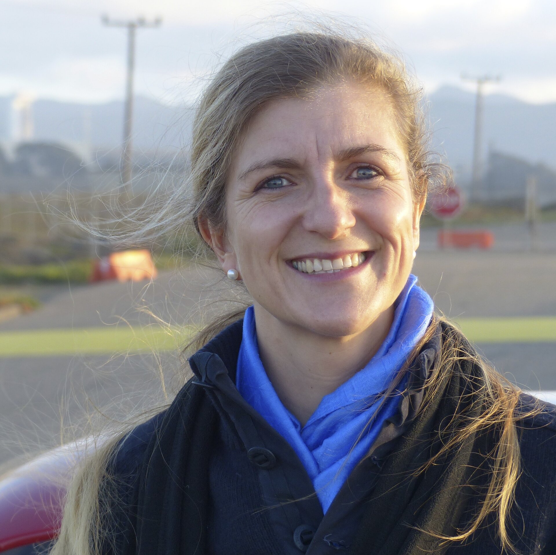
Bianca Hoersch: Mission Manager
In her role as Sentinel-2 Mission Manager, Bianca Hoersch will be responsible for the Sentinel-2 satellites once they enter their exploitation phase, after completion of the satellite in-orbit commissioning phase, planned approximately three months after the launch of each spacecraft.
Bianca, a German national, has been working at ESA’s ESRIN Earth Observation Centre in Frascati, Italy, since 2004. As Third Party Mission Manager, Bianca has been responsible for ensuring access to Earth observation data from a wide range of partners around the globe for the user communities in Europe. Pursuing this ambition requires close links to international partner agencies, such as NASA, JAXA, ISRO, and KARI, as well as commercial data providers, European governments and user organisations. On top of this duty, Bianca has been managing data access to so-called Contributing Missions as part of the European Copernicus Programme since 2008.
In 2013, Proba-V, a heritage ESA D/TEC technology mission with an Earth observation instrument on board, was ‘adopted’ into ESA’s Earth observation programme, and Bianca was appointed the Mission Manager.
Bianca received a PhD in natural sciences from the University of Bonn, Germany. Her thesis with specialisation on land-related multispectral Earth observation, geo-informatics and digital-elevation-models was supported by DLR and the European Union through an Erasmus Fellowship. She performed part of her research with University College London, UK.
In previous occupations, Bianca managed Earth observation projects for the DLR German Aerospace Center in Cologne, Germany. Among the highlights of these duties was a cooperative project with African countries on natural resources and biodiversity.
ESA: What will your role as Sentinel-2 Mission Manager involve?
Bianca Hoersch
As Mission Manager, I hold end-to-end mission responsibility during the exploitation phase. I ensure that the mission fulfils its objectives and satisfies the user communities. This entails a diverse set of tasks, for which I am working together with a larger team and four specialised colleagues in particular.
The first task is to ensure proper spacecraft operations and avoiding collisions. This is done together with the Spacecraft Operations Manager in ESOC. The spacecraft maintenance is taken care of together with the Post Launch Support Manager in ESTEC and industry teams that have built the satellites.
Most visible to the external world is my task to provide the user communities with constant, reliable and easy access to high quality data. For this task, I work together with the ground segment Operations Manager and the Data Quality Manager and their teams, situated in ESRIN. Very important will be to collect feedback from key Copernicus users, national Member States collaborative partners and the broader science community, for consideration in the evolution of the mission.
Furthermore, I report to the mission stakeholders: the European Commission and the Member States.
Last but not least, Sentinel-2 has a natural ‘partnership’ with Landsat-8, a mission with very similar characteristics. I will take care of a close technical co-operation with my fellow mission managers at USGS and NASA.
ESA: What are you most looking forward to with Sentinel-2?
Bianca Hoersch
To see the first images, with the impressive 290 km-wide swath, the 13 bands and a resolution up to 10 m will for sure be an overwhelming moment. Then most interesting will be to see how the user community takes up the new data and improves existing applications in the traditional fields, like vegetation monitoring, agriculture and forestry. From my experience with the user communities in Europe, I am sure we will see a lot of applications develop on top of the traditional ones: some recent demonstrations show a large potential in inland water monitoring and the coastal zones. Here we will also see synergy with Sentinel-3 data in future.
In view of my background and many years on the EO application side, I will closely follow how the data are being transferred into information. This is not only interesting but indispensable to manage the mission in the best sense possible.
ESA: Once both Sentinel-2A and -2B are launched, the mission will provide frequent optical imagery of the entire globe. What will be the main use of these data?
Bianca Hoersch
The primary use will be by the public sector for planning and monitoring purposes. Information will be produced at a global scale, in order to describe the state of vegetation, the energy budget and the water cycle. The information will also be used to look at land cover across Europe, monitor its changes over time and pinpoint ‘hotspots’ prone to specific environmental challenges. In the event of natural disasters, man-made emergency situation or humanitarian crises, the imagery will be used to aid relief actions with timely and accurate geospatial information.
Additionally, the data will provide agricultural information for food security. They will help to analyse human-mad changes to natural habitats and threats to biodiversity, such as the deforestation of tropical forests, at accuracy levels never reached before.
With the mission continuity up to 2030 based on C- and D-units currently being procured, the data from Sentinel-2 will establish a long-term record for climate change research.
But these are just a few examples – we should also expect that Sentinel-2 will trigger the development of commercial value-adding, based on the free and open data.
ESA: What do you expect to be the biggest challenges for the two-satellite mission?
Bianca Hoersch
A first challenge will be to master the data volume coming from the Sentinel-2 mission. With a free and open data policy we expect to reach similar and exceeding demand levels as for Sentinel-1, where we saw thousands of users, downloading more than one petabyte of data within a few months. This is certainly a challenge for the data dissemination infrastructure, but here we can build on the experience that we gained throughout the last year with Sentinel-1, and on the fast technological evolution of our systems.
What I consider to be the even larger challenge for the user community is the ‘translating’ from this unprecedented volume of high-resolution data (around 1.7 terabyte in 1 day from 1 satellite) into meaningful information.
The Global Copernicus Land Service works today on a spatial resolution of 300 m to 1 km to derive global land information. Their challenge will be to take the quantum leap to absorb data at spatial resolutions at an order of magnitude higher with 10 m to 20 m.
Editor's note:
This is one in a series of interviews with a few of the key people that are involved in the Sentinel-2 mission. Please check back as further interviews will be added to over the coming weeks.