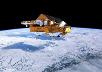
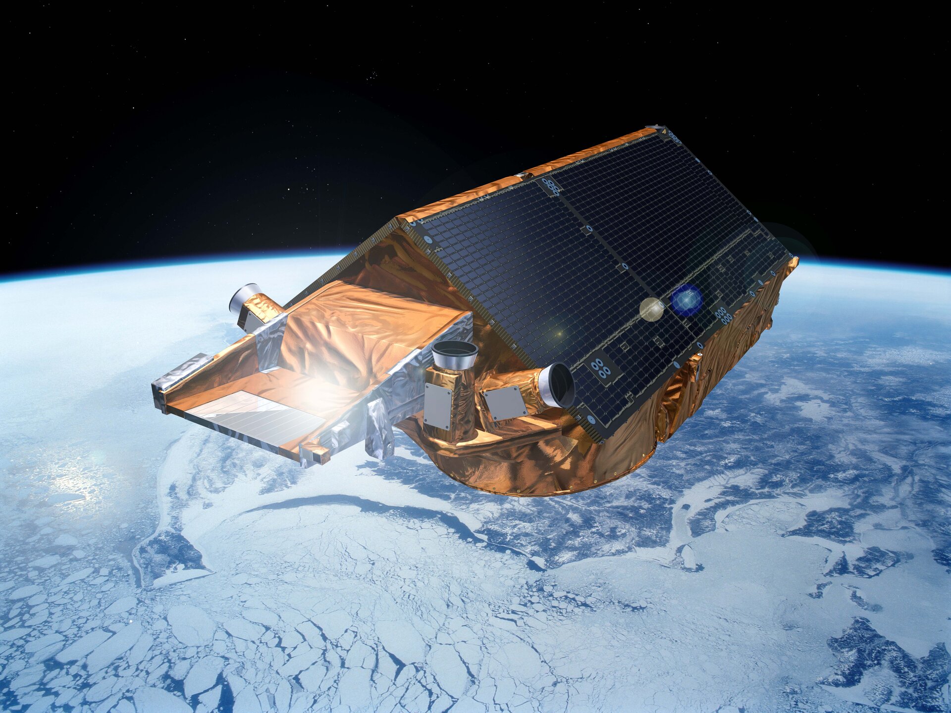
• → European Space Agency

      • Space for Europe
      • Space News
      • Space in Images
      • Space in Videos
    • About Us

      • Welcome to ESA
      • DG’s blog
      • For Member State Delegations
      • Business with ESA
      • Law at ESA
      • ESA Exhibitions
      • ESA Publications
      • Careers at ESA
      • ESAshop
    • Our Activities

      • Space News
      • Observing the Earth
      • Human and Robotic Exploration
      • Space Transportation
      • Navigation
      • Space Science
      • Space Engineering & Technology
      • Operations
      • Telecommunications & Integrated Applications
      • Preparing for the Future
    • Careers at ESA

    • For Media

      • Media
      • ESA TV
      • Videos for professionals
      • Photos
    • For Educators

    • For Kids

    • ESA

    • Observing the Earth

    • CryoSat

    • ESA's ice mission
    • Introducing CryoSat
    • Science in focus
    • Sea ice
    • Ice sheets
    • Surpassing expectations
    • About the mission
    • Facts and figures
    • Satellite
    • Instruments
    • About the launch
    • Operations and data
    • Data flow
    • Data products
    • Essential groundwork
    • Multimedia
    • Image gallery
    • Video gallery
    • Downloads
    • Documents & publications

    ESA > Our Activities > Observing the Earth > CryoSat

    Introducing CryoSat

    CryoSat over Greenland

    ESA’s CryoSat mission is dedicated to measuring the thickness of polar sea ice and monitoring changes in the ice sheets that blanket Greenland and Antarctica.

    Diminishing ice cover is frequently cited as an early casualty of global warming. Since ice, in turn, plays an important role in regulating climate and sea level, the consequences of climate change are far reaching. It is therefore important to understand exactly how Earth’s ice fields are responding to these changes – and by how much.

    CryoSat is Europe’s first mission to address this.

    CryoSat was the first Earth Explorer mission to be selected in 1999, but the original satellite was lost due to a launch failure in October 2005. A new satellite – sometimes referred to as CryoSat-2 – was subsequently built with a number of improvements and was launched on 8 April 2010.

    Arctic sea-ice thickness

    The satellite flies at an altitude of just over 700 km, reaching latitudes of 88° north and south, to maximise its coverage of the poles. Its main payload is an instrument called Synthetic Aperture Interferometric Radar Altimeter (SIRAL). Previous radar altimeters had been optimised for operations over the ocean and land, but SIRAL is the first sensor of its kind designed for ice, measuring changes at the margins of vast ice sheets and floating ice in polar oceans.

    The radar altimeter is not only able to detect tiny variations in the height of the ice but it can also measure sea level with an unprecedented accuracy. Small, local phenomena in the ocean surface like eddies can be detected and analysed.

    Taking CryoSat a step further, scientists have discovered that the altimetry readings have the potential to map sea level closer to the coast, and even greater capabilities to profile land surfaces and inland water targets such as small lakes, rivers and their intricate tributaries.

    Rate this

    Views

    Share

    • Currently 4.5 out of 5 Stars.
    • 1
    • 2
    • 3
    • 4
    • 5
    Rating: 4.6/5 (37 votes cast)

    Thank you for rating!

    You have already rated this page, you can only rate it once!

    Your rating has been changed, thanks for rating!

    13018
    Tweet
    • Access CryoSat data
    • CryoSatApp (iPhone)
    • CryoSatApp (iPad)
    • Interview on two years of CryoSat mission
    • Earth Explorers
      Earth Explorers
      Earth Explorers
    • App Store
    • Subscribe
    • mobile version
    • ESA Observing the Earth Twitter

    @ESA_EO

    • FAQ

    • Site Map

    • Contacts

    • Terms and conditions