Strategies for Calibrating and Validating CryoSat now underway
An important step in the progress of ESA’s Earth Explorer CryoSat mission has recently been made with the setting up of the CryoSat Calibration and Validation Team. This new team consists of selected technical experts and scientists, who will plan and carry out appropriate field campaigns and data analysis to ensure that the altimeter, which is to fly on the CryoSat satellite, is correctly calibrated and validated. The team of scientists were selected following ESA’s Announcement of Opportunity for CryoSat Calibration and Validation proposals that closed in April this year.
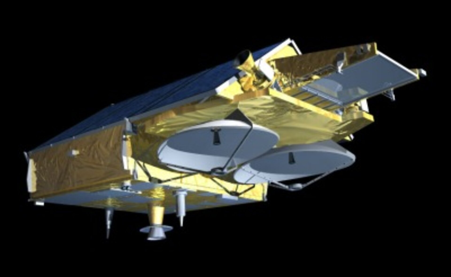
The altimeter on the CryoSat satellite will be the first optimised observation system for elevation change estimates for the ice caps in Greenland and Antarctica. Furthermore, its design will facilitate the determination of the thickness of floating sea ice by measuring the floe elevation above the surrounding ocean water. These observations will help improve our understanding of the effect that polar ice has on the global climate as well as determining rates of change within the large polar ice masses.
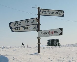
So that the data is accurate enough to be used in global climate research, it is essential to gather many data points and subject the resulting data to careful statistical analysis. As with all remote sensing data, each measurement point taken by CryoSat can contain a degree of error due to a variety of technical and physical effects. Technical errors can result from the stability and accuracy of the instrument itself but can be addressed not only with careful instrument design before launch, but also with adequate system calibration once CryoSat is in orbit. Physical issues can arise with uncertainties about the reflecting ice surface or simply uncertainties as to whether the instrument actually ‘sees’ down into the ice layer or if the snow layer above is confusing the data. Snow layers are unavoidable when observing ice surfaces, and the influence they have on the observations to be made by CryoSat have to be assessed very carefully if we are to verify any trend towards thicker or thinner ice over the lifespan of the mission. Other complications arise from the density profiles in the ice layers and sea ice floes as well as the wetness of the upper snow layer and how all these parameters can vary over a certain area. These issues can only be tackled by taking direct measurements in the polar regions. This means actually going there with ships and aircraft and conducting appropriate experiments with a broad range of instrumentation so that the data received from the altimeter on CryoSat can be calibrated and verified with data taken in-situ.

Now that the new Calibration and Validation Team for the CryoSat mission has been established, strategies for addressing these areas of possible uncertainties are now being made. The team of selected scientists met for the first time at the end of September at ESTEC and enjoyed a fruitful discussion on all relevant aspects of how to organise and harmonise the proposed experiments. The team discussed topics such as:
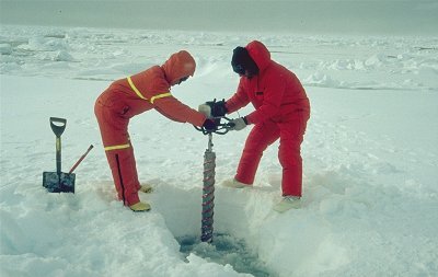
- Research vessels such as Polarstern from Germany will serve as the operations platform for experiments on sea ice. Laser profiling from helicopters, carrying special electromagnetic sensors, which allow thickness estimates to be made of individual ice floes, will examine ice properties. Alternatively, ice core drilling and subsequent laboratory analysis may be carried out.
- Aircraft from Denmark, Germany and the US with radar and laser altimeters will measure ice sheet profiles so that they can be compared with the results from CryoSat. This will include the first flight with the airborne version of the CryoSat altimeter (ASIRAS), currently under development.
- US scientists will look for opportunities to acquire Upward Looking Sonar sea ice thickness data from US Navy submarines.
- Several field campaigns are in preparation in Greenland and Antarctica during which intensive periods of measurements of snow and ice properties on glaciers and ice caps will take place.
It is a truly international endeavour and each scientist brings a specific area of expertise. After this initial meeting there will be more dedicated meetings later this year to coordinate the various activities. The first campaigns are planned for Spring 2003 and will be based on the experiences and lessons learned from the recent ESAG and LaRA campaigns carried out earlier this year.