
Earth from Space: Cotmeana
Korea’s Kompsat-2 satellite captured this image of southern central Romania in January.
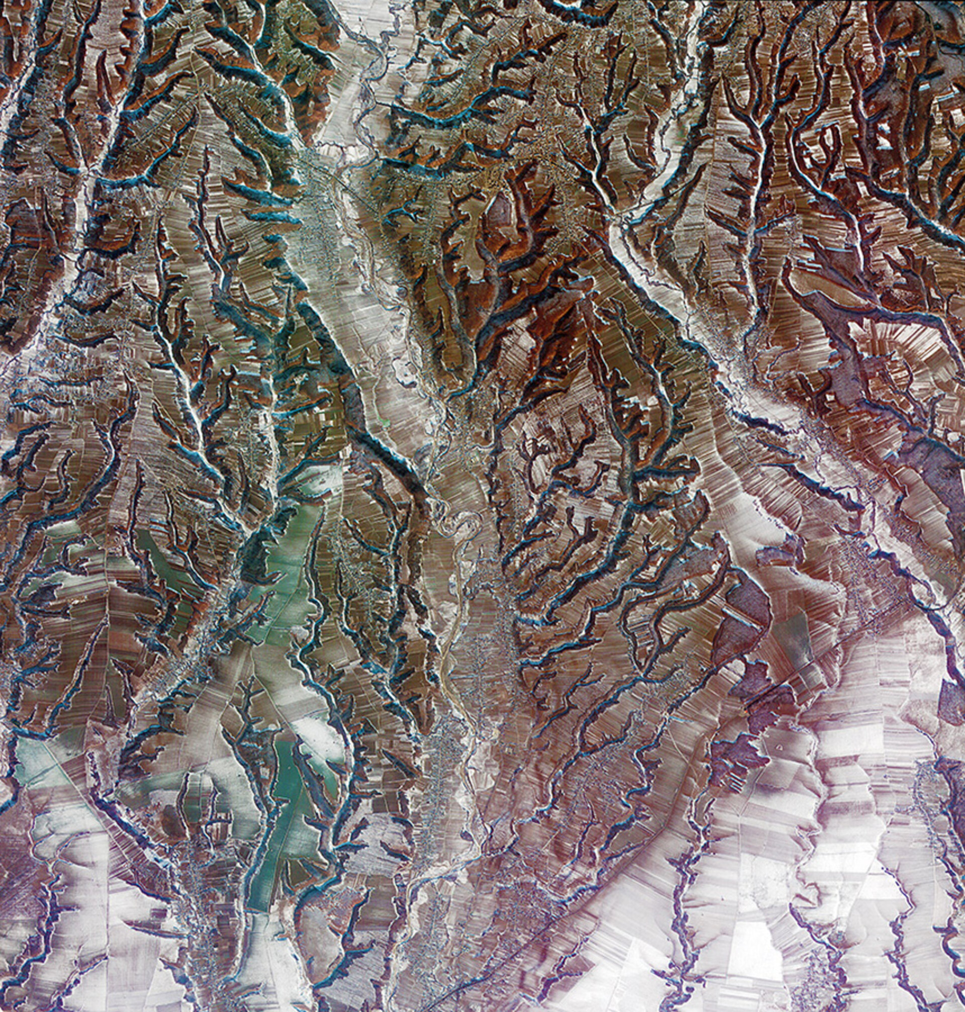
The area pictured is part of a geographic transitional region between the Southern Carpathians to the north and the lowland plains to the south.
Bucharest is some 110 km to the southeast, Bulgaria is about 120 km to the south, and Serbia about 160 km to the west.
The tree branch-like pattern is the result of erosion along rivers and streams. Running down the centre of the image is the Cotmeana river.
Zooming in, we can see that large areas have been divided into hundreds of small agricultural plots.
During communist rule, this area’s arable land was divided into large plots for state-owned, large-scale farming. But following the downfall of communism in Romania in 1989 and the subsequent privatisation of land, these plots were fragmented.
Romania became an ESA Member State on 22 December 2011.
The Korea Multi-purpose Satellite (Kompsat-2) of the Korea Aerospace Research Institute acquired this image on 2 January 2013. Launched in 2006, it was developed to ensure continuity with its predecessor, Kompsat-1.
ESA supports Kompsat as a Third Party Mission, meaning it uses its ground infrastructure and expertise to acquire, process and distribute data to users.
This image is featured on the Earth from Space video programme.


