Envisat
ESA's environmental satellite

The mission
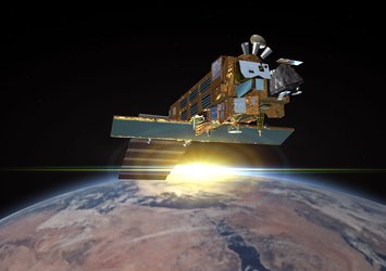
Envisat was the largest Earth observation spacecraft ever built. The mission delivered thousands of images and a wealth of data used to study the workings of the Earth system, including insights into factors contributing to climate change. The end of the mission was declared on 9 May 2012, but ten years of Envisat’s archived data continue to be exploited for studying our planet.
Discover Envisat

-
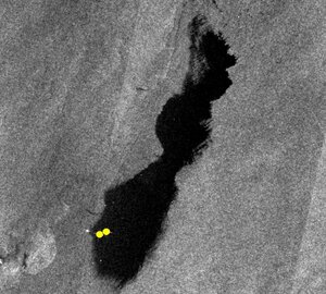
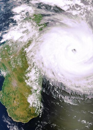
Applications Image gallery


-
Applications Video gallery