GOCE
ESA's gravity mission
The mission
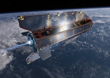
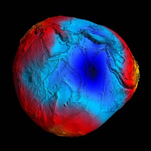
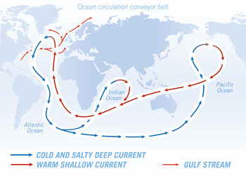
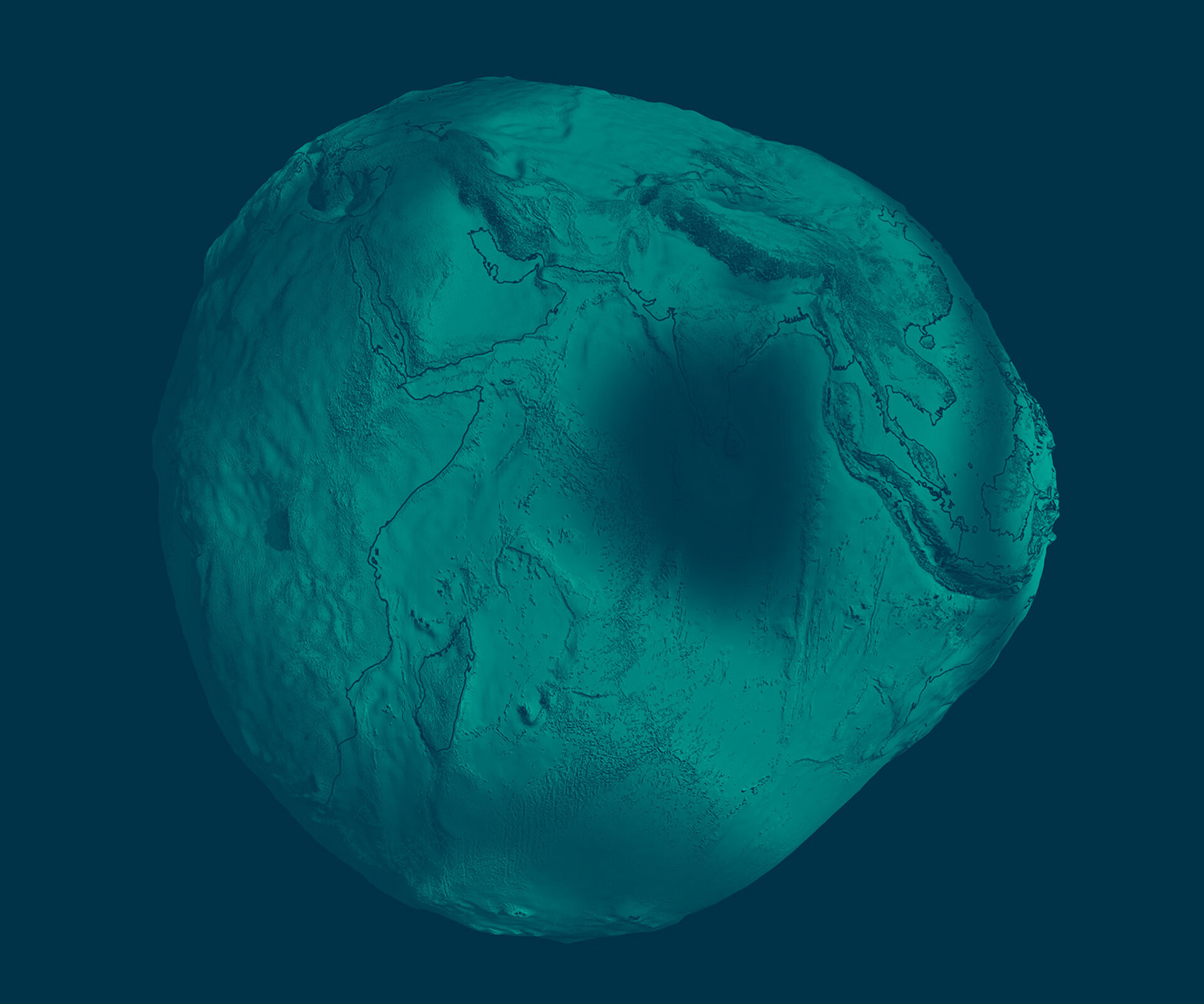
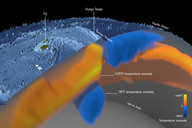
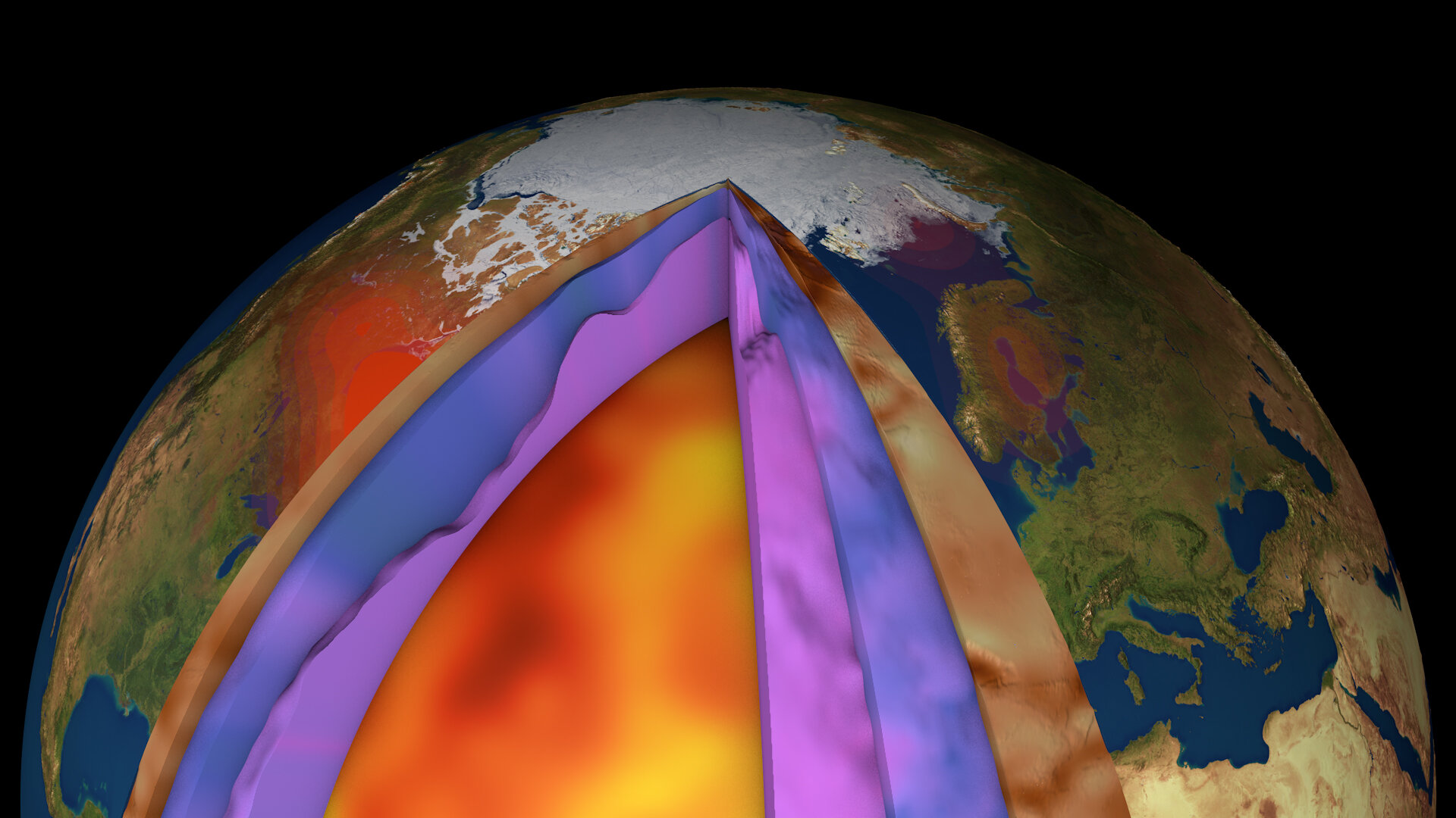
ESA's Earth Explorer GOCE mission was dedicated to map Earth's gravity with unrivalled precision and provided the most accurate model of the 'geoid' ever produced to further our understanding of how Earth works. After more than four years in orbit, the mission came to a natural end on 11 November 2013, but the wealth of data from GOCE continues to be exploited to improve our understanding of ocean circulation, sea level, ice dynamics, Earth’s interior and climate change.

Latest


-
Applications Image gallery

-
Applications Video gallery

-
Applications GOCE publications

-
Applications GOCE technical documents