Over land, sea and air, users give MERIS high marks
More than 150 researchers from across Europe, Canada, the United States, China and as far away as Chile have come together to recount their many and varied uses of a single instrument – a desk-sized camera called MERIS, hurtling through space aboard Envisat at more than seven kilometres per second.
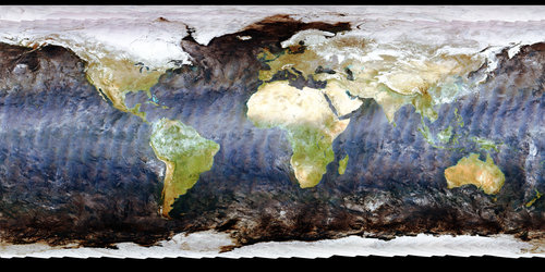
The Medium Resolution Imaging Spectrometer (MERIS) is one of ten sensors on Envisat, looking down from the earthward face of the spacecraft. It works by recording visible and near-infrared radiation reflecting from our planet across a range of up to 15 programmable wavebands, to a resolution of either 1200 or 300 metres.
This flexibility and the excellent radiometric and spectral performance designed into the instrument means that scientists can make use of MERIS data across many different fields, variously obtaining information on Earth's oceans, coastal zones, land surfaces and atmosphere – and potentially combining it with results from other Envisat instruments.

Since MERIS was launched as part of Envisat in March 2002 there have been several gatherings concerned with complex calibration and validation processes needed to 'fine-tune' instrument performance, but last week's MERIS User's Workshop 2003 was the first time that users of MERIS products had a chance to meet up, share initial results and exchange their views of MERIS with ESA and each other.
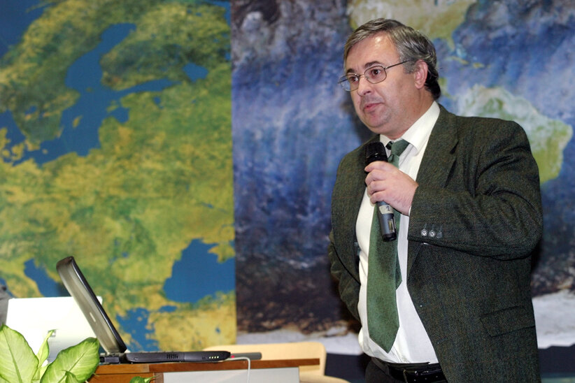
"The MERIS data users attending included principal investigators, students and value-adding companies," said Workshop organiser Peter Regner. "The feeling among attendees seems to be that such activities are an excellent communication tool and will be repeated in the future."

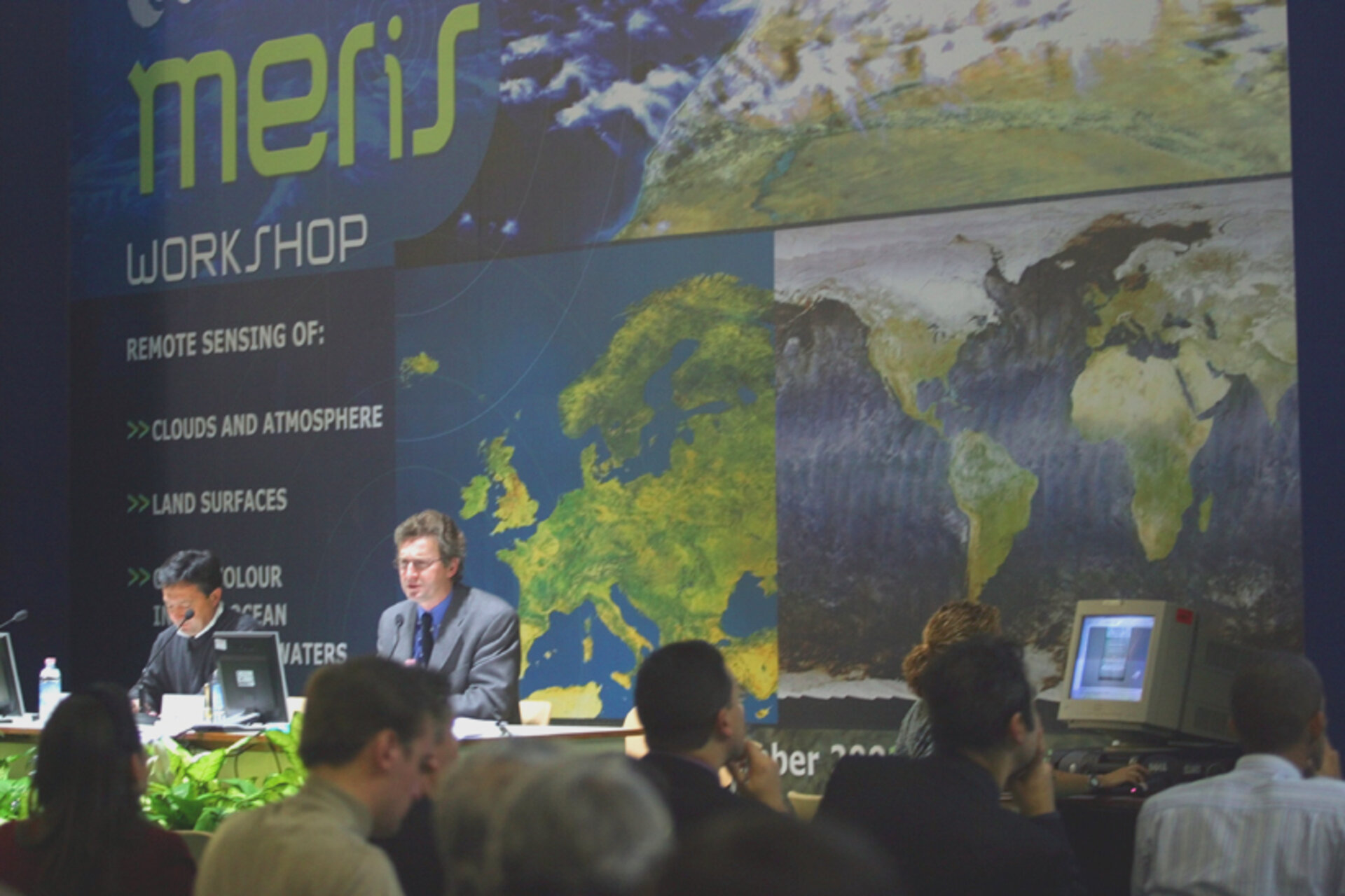
The User Workshop started on 10 November and was hosted by ESA at its ESRIN centre in Frascati, near Rome. Attendees were in for a busy four days, with more than 50 presentations and round tables packed into the schedule, together with poster sessions, training sessions in the BEAM (Basic ERS, Envisat (A)ATSR and MERIS Toolbox) software used for data processing and special sessions on key themes including water, land and atmosphere applications.
Olivier Arino, Head of Projects in ESA's Earth Observation Applications Department gave the Workshop an overview of projects being run by the Agency that use MERIS or similar instruments to attempt to develop operational services to the global community, responding to the requirements of key users. Work is already being done across a variety of fields such as carbon modelling, food security, marine pollution, fishery and snow mapping and desertification.
Ocean colour scene

As a pioneer in the field of ocean colour, Professor André Morel of the University of Pierre and Marie Curie in Paris has had a long association with MERIS. During the Workshop he co-chaired a splinter session on MERIS water products. Accurate measurements along signature wavebands means water contents can be known to a high degree of accuracy – from suspended sediments to living phytoplankton.
"Our expectations were very high for this instrument," said Morel. "The scientific community was waiting a long time. Now at last the products are routinely available for use by scientists. Overall the results we are getting seem very positive and reliable. The performance of the MERIS instrument is living up to the promise of its original design."
Accurately measuring ocean colour with MERIS presents a real technical challenge, particularly because only 1% of the top-of-atmosphere signal actually comes direct from ocean colour – the 99% comes from the atmosphere. To banish the effects of atmospheric distortion for ocean colour study meant extensive study of signal alteration – and almost by default this knowledge also enabled improved observation of atmospheric constituents.
Something in the air
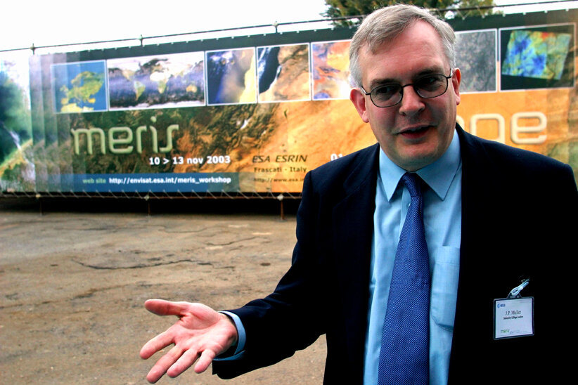
"MERIS was not originally envisaged as an atmospheric sensor, but we have found it works very well as one," said Prof. Jan-Peter Muller of University College London. "For instance, we can detect surface and cloud top pressure up to an accuracy of 100 metres, the presence of aerosols and also water vapour concentration up to an accuracy of 3%, which represents unprecedented accuracy.
"Water vapour is highly variable in the atmosphere, and knowledge of its distribution would be very useful for forecasting rainfall. MERIS's revisit time of three days is too low for operational weather forecasting, but it raises the suggestion that a version of the instrument might be flown on future weather satellites."
Ground work

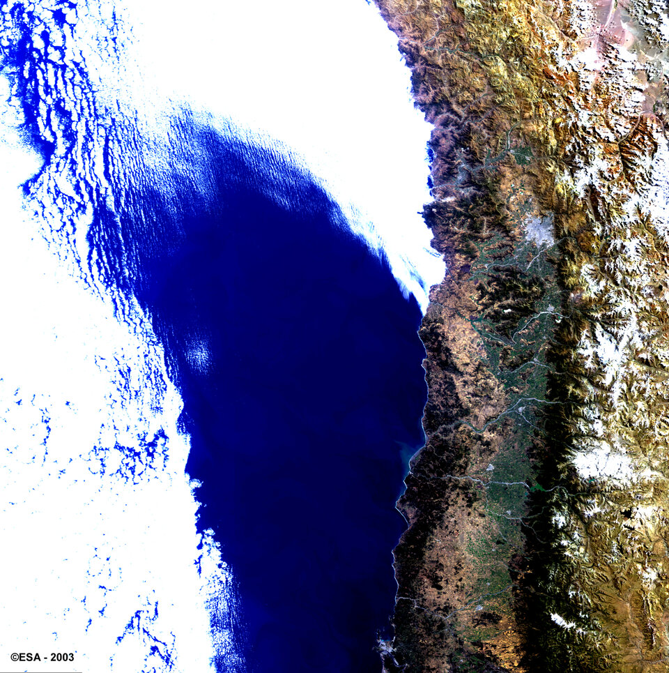
Over solid ground, MERIS images provide information on land use and vegetation cover, and specific chlorophyll-linked spectral bands help quantify biomass concentration and condition.
Professor Jose Moreno of the University of Valencia detailed MERIS-related results from a July multi-spacecraft validation campaign carried out at the Barrax test site in La Mancha, Spain. The agricultural fields making up the site were characterised to a very high degree of detail, with more than 4000 ground samples taken, plus recordings of atmospheric conditions.
"Often you can have a good knowledge of the land surface corrections required but not the atmospheric corrections - or vice versa," said Moreno. "But with MERIS we have both, which means we can be more confident the data show what is really there.
"Being able to compare MERIS data with ESA's Proba micro-satellite was also useful. The main camera on Proba has four times the spectral bands on MERIS, and its resolution is 30 metres instead of 300 metres – so we could make out individual fields with Proba, to check them against what the larger-scale MERIS images were showing."
Microscopic killers
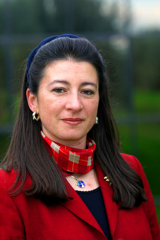
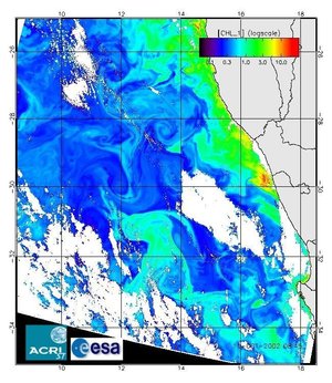
Since MERIS products became available in March 2003, Dr Cristina Rodríguez-Benito of Chile-based oceanographic company Mariscope Chilena has been using it to chart one very specific phenomenon: fish-killing algae blooms that threaten Chile's successful aquaculture industry.
"My interest is not only scientific research but also to focus this work on a direct application," said Rodríguez-Benito. "MERIS works better for the purpose of detecting algae blooms than comparable ocean colour instruments such as MODIS."
Formed from individually microscopic phytoplankton, algae blooms occur when favourable local conditions encourage their growth to 'bloom' out of control. Some algae species contain toxins that can poison humans who eat contaminated shellfish. Alternatively the spreading blooms can deplete water of oxygen as they decay, causing larger fish to suffocate.
Fish farms are especially vulnerable to algae blooms because fish cannot flee affected zones. The southern region of Chile has 360 fish farms in the ocean and 40 in freshwater, producing up to 450,000 tonnes of biomass annually. In 1997 alone, Chilean algae blooms caused losses totalling €10 million ($12 million).
Rodríguez-Benito's pilot project – recounted during the Workshop - is co-funded by Mariscope Chilena and Salmon Chile, the national fish-farming industry association. These institutions aim to investigate the feasibility of an operational satellite-based early warning service.
"As spring came to the southern hemisphere in October we have witnessed new blooms appearing," said Rodríguez-Benito. "In situ water testing, using an instrument called a Fluoroprobe, confirms the detection of five different algae classes. The total chlorophyll concentration measured using this fluorometer was successfully correlated with MERIS data."
"The project will continue until the beginning of 2004, as a first step. For the near future we also hope to make use of other Envisat instruments to simultaneously measure important variables like sea surface temperature and ocean currents. Knowing these will be necessary to make forecasting the drift of algae blooms a reality."
Looking forward

In concluding the Workshop on Thursday afternoon, Peter Regner thanked all participants for the very high quality contributions they made: "The Workshop discussions brought forth a number of valuable recommendations which will certainly be taken into consideration in the definition of the future MERIS exploitation plan."
He indicated that the next opportunity for the community to meet again will be next year's Envisat symposium, scheduled to take place from 6 to 10 September 2004 in Salzburg in Austria.