
Satellites map volcanic home of Africa’s endangered gorillas
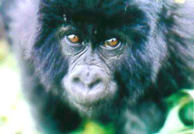
Conservation workers have had their first look at satellite-derived map products that show a remote habitat of endangered African mountain gorillas in unprecedented detail. Production versions of these prototype products will help protect the less than 700 of the species remaining alive.
"It’s very exciting to get a look at some of the products we’re going to be able to take into the field in future," remarked Maryke Gray, regional monitoring officer of the International Gorilla Conservation Programme (IGCP). “The area covered is a volcanic massif that is often difficult to access; what maps of it are available are more than three decades old and often inaccurate, and we have no maps whatsoever for some territory."
Dennis Babasa, ecological monitoring coordinator for Uganda’s Institute of Tropical Forest Conservation, added: "These are maps we have wanted to create previously, but we simply haven’t had the tools to create them. Remote sensing is providing useful assets for our work."
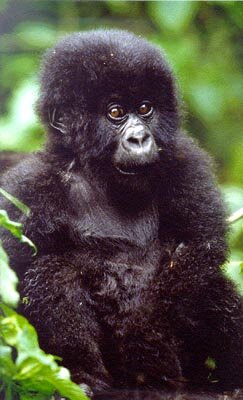
Mountain gorillas are found in highland forests that straddle the borders between Rwanda, Uganda and the Democratic Republic of Congo. These regions make up a set of five national parks; three of these have been designated World Heritage Sites by the United Nations Educational, Scientific and Cultural Organisation (UNESCO), while the remaining two have been nominated for the same status.
However regional political conflicts have led to an influx of refugees into the areas around the parks. Clearing forest for agriculture or fuel, as well as illegal poaching for food, has impacted the parks and reduced the living space left for the gorillas.
Protecting the parks is difficult because they have long boundaries that run across extremely inaccessible and hardly mapped territory. An ESA-run project called Build Environment for Gorilla (BeGO) has been using Earth Observation resources to chart the region in order to help conservation bodies working in and around the parks.
On 10 and 11 June representatives from BEGo partners including UNESCO, IGCP, the Wildlife Fund Eastern Africa Programme Office (WWF-EAPO), the Institute Congolese of Nature Conservation (ICCN) and Uganda’s Institute of Tropical Forest Conservation (ITFC) met at ESA’s European Space Research Institute (ESRIN) in Frascati near Rome to review initial mapping products.

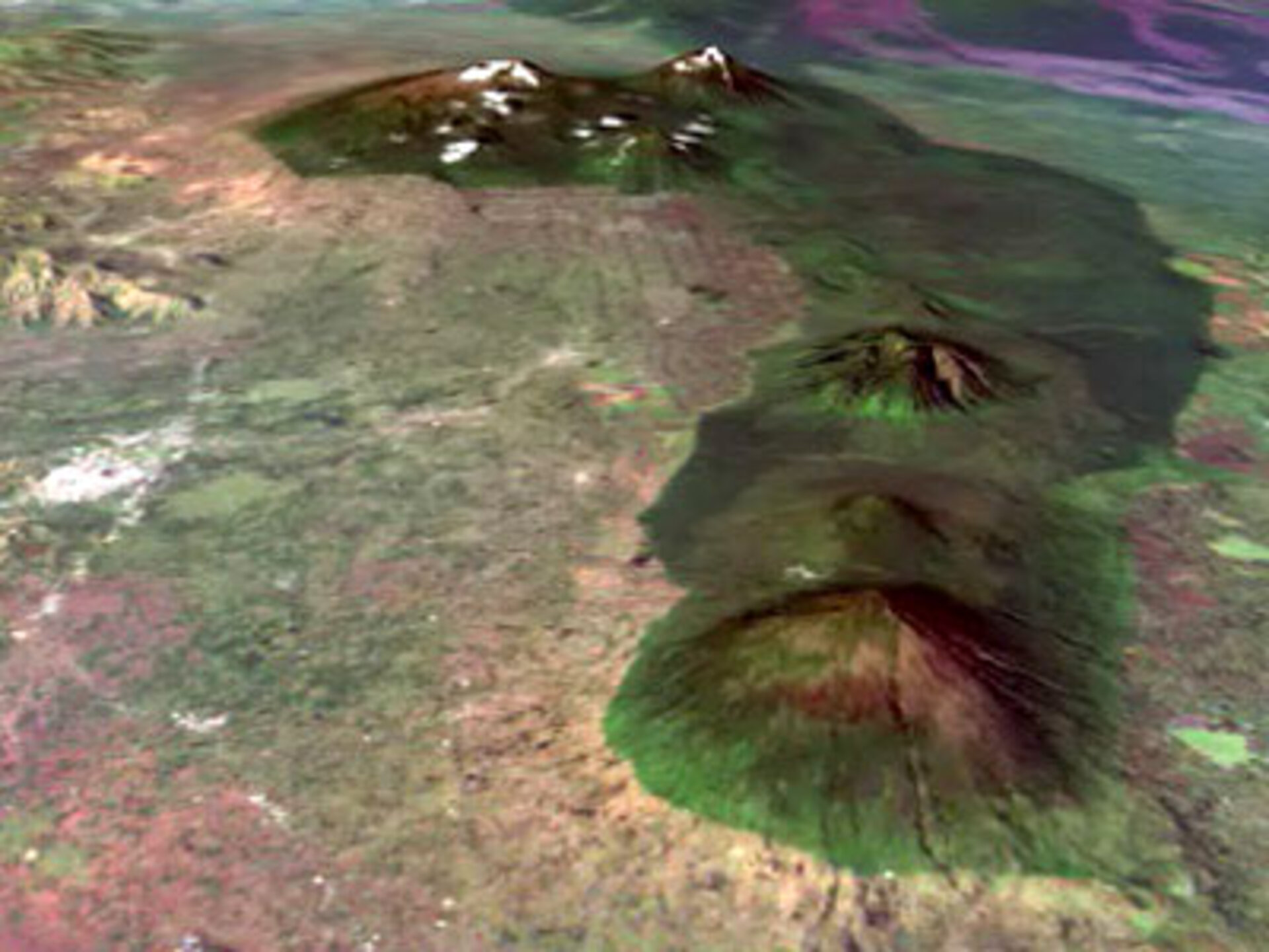
These comprise a 1:50000 scale base map, land cover map and digitial elevation model (DEM) of the area around Volcanoes National Park in Rwanda.
The base map was provided in a paper version during the two-day review process. In addition base and land cover maps were overlaid on the DEM to create a three-dimensional representation of the landscape, and to help familiarise themselves with the products the BEGo partners experienced a simulated fly-over of the area using ESRIN’s Virtual Reality Theatre.
The session marked the conclusion of BEGo’s first phase, explained Mario Hernandez of UNESCO: "The project has up to now produced 'prototypes'. So this meeting was to check these prototypes in order to decide on the go-no-go.
"What is exciting is that now we are going further, basically entering into a production mode in order to elaborate all maps for all the selected regions of the BEGo project. The testing of the 'prototypes' was therefore successful!"

Gray added: "What we’re doing here is using our knowledge to identify small classification errors and other problems. The work is 95% done, with more to do on the other 5%. The new products will obviously be useful when it comes to co-ordinating patrols and associated activities. We now have one map extending across the three countries, while previously we were having to use different national maps with different scales."
Marc Languy of WWF-EAPO stressed the extent of the territory covered: “The map extends well beyond park boundaries, reflecting the fact that the parks cannot be thought of as isolated islands but as part of the larger landscape, addressing the development needs of local settlements to provide alternatives to the short-term eating up of park grounds. The map can help a lot with this, for example by enabling the planning of eco-tourism that can benefit local people.”
The next phase involves the expansion of coverage to the rest of the mountain gorilla habitat: Kahuzi-Biega National Park World Heritage Site and Virunga National Park World Heritage Site in the Democratic Republic of Congo, and Bwindi National Park World Heritage Site and Mgahinga National Park in Uganda plus the provision of associated maps showing land cover change from 1990 onward.
“Population pressure remains high on park boundaries: land cover change products will help us identify areas under threat,” added Hernandez. “Further along there is the obvious possibility of extending the techniques of BEGo to other World Heritage Sites in danger – there are three others in the Democratic Republic of Congo alone that are going to be mapped in a similar way.”
Last year ESA and UNESCO formally agreed an initiative for the use of space technologies to support the World Heritage Convention. Other space agencies have joined this initiative: for instance, the Belgian Federal Science Policy Office intends to use space technologies to map all World Heritage Sites within the Democratic Republic of Congo, with data and expertise would be fully shared between this project and BEGo.
BEGo is a service demonstration project taking place as part of ESA’s Data User Element, with Netherlands-based Synoptics as prime contractor.

