Spring from space
Despite the hardest winter in the UK for the last 30 years, and the heavy snow-falls of the last few days in Scotland, there are signs from space that spring is finally on its way.
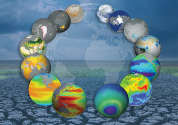
Data from Envisat's Medium Resolution Imaging Spectrometer (MERIS) are being used to generate daily maps that show exactly how plants are responding to the coming season, marking a significant improvement for 'phenology'.
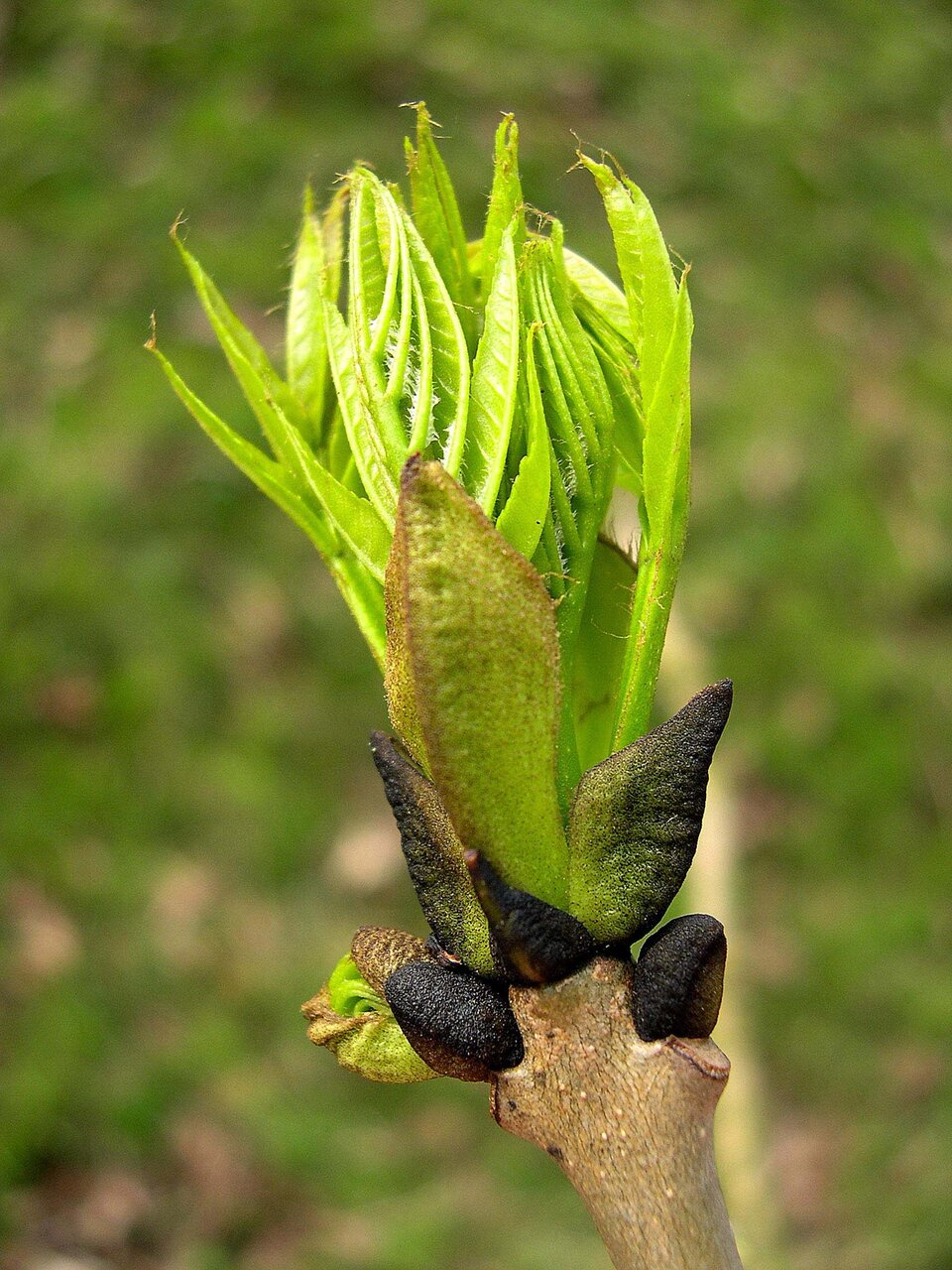
Phenology is the study of how the life-cycles of plants are closely tuned to seasonal change.
By recording when certain species appear and disappear, the emergence of buds or when leaves fall from trees, it is possible to monitor the changes in cycles of certain species. These changes can also be used as possible indicators of climate change.
The new maps form part of an ESA-funded service that was developed by Infoterra Ltd in partnership with Southampton University in England, and the French National Institute for Agricultural Research (INRA).
The service uses data from MERIS to generate a series of daily maps showing the intensity of the chlorophyll green pigment in plants.
Animated versions of these maps are published on the 'Nature's Calendar' website, run by the UK's Woodland Trust, providing an easy way to monitor vegetation change across the British Isles. The maps complement the field observations made by the Trust's 40 000 volunteers.
Phenology has gone from an interest of enthusiastic naturalists to a crucial source of evidence for scientists and policy-makers showing how wildlife is responding to the signs of climate change.
With the advent of the systematic imaging of full spectral- and spatial-resolution data from MERIS, it has become possible to monitor vegetation change for complete countries with at a resolution of 300 m every 2–3 days.
Kate Lewthaite from the Woodland Trust said, "Satellite-derived, animated vegetation maps showing the progress of spring 'greening' will be an invaluable source of extra information on the Nature’s Calendar website, alongside our existing mapping. This will act as a motivational tool to our recorders, present phenological information in a new way, and help them to understand the principles of the advance of spring."
The maps generated from MERIS data involve distributed computer processing to derive products such as Leaf Area Index (LAI), MERIS Terrestrial Chlorophyll Index (MTCI) and fraction of Absorbed Photosynthetically Active Radiation (fAPAR).

LAI and fAPAR are recognised by the UN Framework Convention on Climate Change Global Climate Observing System as 'Essential Climate Variables'.
This phenology service is also used for natural resource management and conservation, agriculture, recreation and tourism and for the benefit of human health for warnings on plant allergens.
The project will also supply products to the UK's Forestry Research Centre for Forestry and Climate Change to support research into seasonal 'senescence' – how vegetation changes over time. In the future, this service will benefit from the data of ESA’s new Sentinel-3 satellite, now being designed and built as part of the Global Monitoring for Environment and Security initiative.
This activity is sponsored through the ESA Value-Adding Element (VAE) of the Earth Observation Envelope programme. VAE aims at strengthening the capabilities of small, specialised companies in Europe and Canada to provide information services based mainly on Earth observation data.