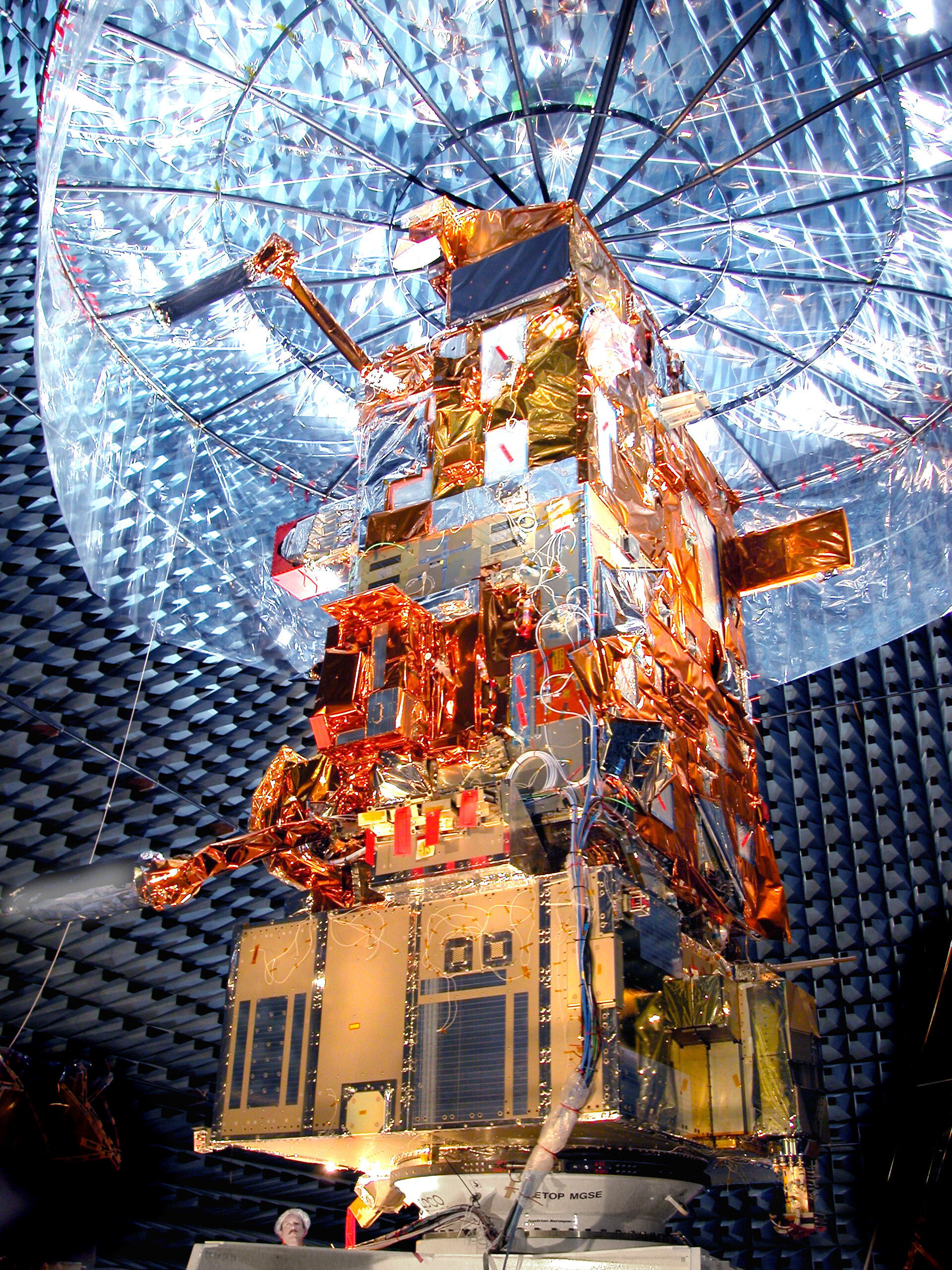
MetOp objectives
The main objective of the MetOp mission is to ensure the continuous and improved availability of operational meteorological observations from polar orbit whilst providing Europe with an enhanced capability for the routine observation of the Earth from space, and in particular, to further increase Europe's capability for long-term climate monitoring.
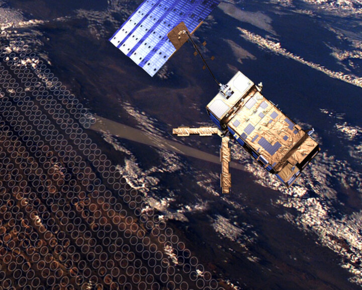
For this purpose MetOp's instruments have a wide range of remote sensing capabilities:
-
Global sounding
Sounding instruments typically provide vertical temperature and humidity profiles through the Earth's troposphere and stratosphere. Infrared sounders have reduced capability in cloudy conditions; however, sounders operating at microwave frequencies are capable of penetrating cloud cover and complement the infrared data.
Instruments:
AMSU-A1 and A2(Advanced Microwave Sounding Units) to calculate atmospheric temperature and humidity profiles.
GRAS (Global Navigation Satellite System Receiver for Atmospheric Sounding) to measure atmospheric temperature and humidity.
HIRS/4 (High-resolution Infrared Sounder) to calculate atmospheric temperature and pressure.
IASI (Infrared Atmospheric Sounding Interferometer) to measure atmospheric temperature and moisture, and trace gases such as ozone, carbon monoxide, nitrogen oxides, methane.
MHS(Microwave Humidity Sounder) to measure atmospheric humidity and temperature.
-
Global imagery
Visible and infrared radiometers typically provide cloud imagery for weather forecasting applications. They also provide radiance data to calculate sea-surface temperatures.
Instrument:
AVHRR/3 (Advanced Very High Resolution Radiometer) provides day and night imaging of land, water, clouds.
-
Combined sounding and imagery products
The MetOp sounder and radiometer suite provides an extended range of products used by meteorologists and climatologists, such as ocean-surface and land-surface measurements, sea-ice coverage and condition, cloud fraction and top height, precipitable water and water vapour in the atmosphere, and atmospheric ozone.
Instruments:
AMSU-A, AVHRR/3, GRAS, HIRS/4, IASI and MHS
-
Radar scatterometry
Provides global data on speed and direction of winds over the ocean surface; additional products include sea-ice cover, snow cover and vegetation density.
Instrument:
ASCAT (Advanced Scatterometer) to measure wind vectors over the ocean.
-
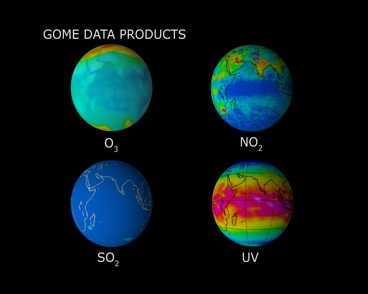
Ozone monitoring
Ultraviolet and visible spectrometry of solar reflection through the Earth's atmosphere provides ozone profiles in the troposphere and stratosphere; further data includes trace gases, Earth albedo and aerosol as well as cloud fraction and top height.
Instrument:
GOME-2 (Global Ozone Monitoring Experiment-2) to measure concentrations of atmospheric ozone and other gases.
Additional services
-
Remote Platform Data Collection
Receives and disseminates data and location of in-situ meteorological observations from balloons, ocean buoys and other similar ground-based data collection platforms to a central processing site.
Instrument:
A-DCS (Advanced Data Collection System) provides in-situ environmental data collection and Doppler-derived location service.
-
Humanitarian Service
As part of an international satellite agreement, MetOp carries a search and rescue payload that re-broadcasts distress alerts and the location of emergency transmitters to rescue authorities. Several beacon types are supported covering ship and aircraft as well as personal locators.
Instruments:
SARP-3 (Search And Rescue Processor) receives and processes emergency signals from aircraft and ships in distress.
SARR (Search And Rescue Repeater) receives and downlinks emergency signals from aircraft and ships in distress and provides a downlink for data received by the SARP-3.

-
Space environment monitoring
Supports the routine monitoring of low-Earth orbit charged particles.
Instrument:
SEM-2 (Space Environment Monitor) provides measurements to determine the intensity of the Earth's radiation belts and flux of charged particles at satellite altitude.
-
Global Data Access
Supports global-scale forecasting by providing data to an X-band ground station for further dissemination by the EUMETSAT Polar System to the meteorological services within two and a quarter hours of the observations being made.
Space to Ground Link: X-band
-
Local Data Access
Provides direct user access to local terrestrial and atmospheric conditions in real-time by transmitting to local reception stations as MetOp passes overhead.
Space to Ground Links: HRPT/LRPT