
Sentinel-1 operations
Editor's note: This page is no longer being updated, but will be preserved as a record. Click here for the latest information on Sentinel-1.
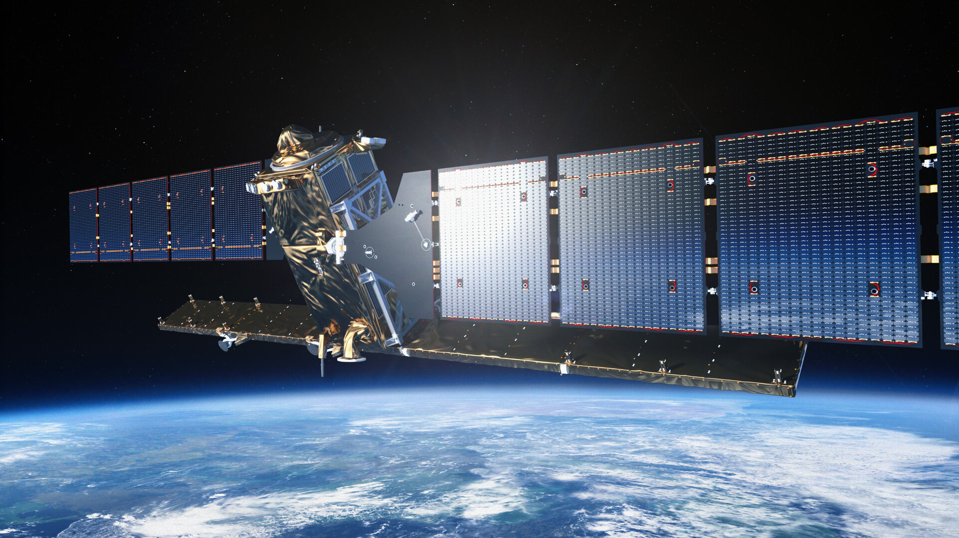
The Sentinel-1 mission is a polar-orbiting satellite constellation for the continuation of Synthetic Aperture Radar (SAR) operational applications.
Sentinel-1 is a C-band imaging radar mission that provides an all-weather day-and-night supply of imagery for Copernicus user services. The first of the dual Sentinel-1 satellites, -1A, was launched on 3 April 2014 and its identical twin, -1B, was launched on 25 April 2016.
Dedicated to the Copernicus initiative, Sentinel-1 is ensuring the continuity of C-band SAR data, building on ESA’s and Canada’s heritage SAR systems on ERS-1, ERS-2, Envisat and Radarsat.
The mission
The Sentinel-1 satellites are operated from ESA's ESOC mission control centre in Darmstadt, Germany.
| ROLE | Earth observation - all-weather day-and-night radar imagery as part of Europe's Copernicus programme |
| LAUNCH DATE | 1A: 3 April 2014 | 1B - 25 April 2016 timeframe |
| LAUNCHER/LOCATION | Soyuz, Kourou (both launches) |
| LAUNCH MASS | 2300 kg each (two satellites) |
| ORBIT | Near-polar, Sun-synchronous, about 690km |
| PERIOD | 12-day repeat cycle; 175 orbits/cycle |
| NOMINAL MISSION | 7 years |
| ++ Imaging global landmasses, coastal zones and shipping routes at high resolution ++ | |