| |
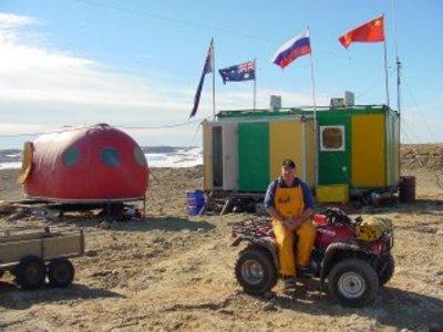
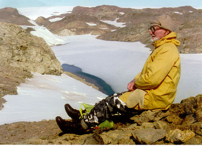
Antarctica 2003 Expedition
|
| • | Einführung (http://www.esa.int/SPECIALS/Eduspace_Global_DE/SEMG2859J2G_0.html) |
|
| • | Hintergrund (http://www.esa.int/SPECIALS/Eduspace_Global_DE/SEMRW859J2G_0.html) |
|
Übungen
|
| • | Arbeitsblatt Einführung (http://www.esa.int/SPECIALS/Eduspace_Global_DE/SEMDR959J2G_0.html) |
|
| • | Übung 1: Kreuzfahrt in die Antarktis (http://www.esa.int/SPECIALS/Eduspace_Global_DE/SEMZW959J2G_0.html) |
|
| • | Übung 2: Führe den Eisbrecher durch das Eis (Übung anhand von Aufnahmen und Kartenmaterial) (http://www.esa.int/SPECIALS/Eduspace_Global_DE/SEMD15NEQ2G_0.html) |
|
| • | Übung 3: Führe den Eisbrecher durch das Eis (Übung am Computer) (http://www.esa.int/SPECIALS/Eduspace_Global_DE/SEMG75NEQ2G_0.html) |
|
| • | Übung 4: Hilfe, der Eisbrecher steckt fest! (http://www.esa.int/SPECIALS/Eduspace_Global_DE/SEMQG5NEQ2G_0.html) |
|
Links
|
| • | Australian Antarctic Division (http://www.aad.gov.au/) |
|
| • | Larsemann Hills Karten (http://www.aad.gov.au/aadc/gaz/display_name.cfm?gaz_id=686) |
|
| • | Davis station - webcam (http://www.aad.gov.au/asset/webcams/davis/default.asp) |
|
Eduspace - Software
|
| • | LEOWorks 3 (http://esamultimedia.esa.int/multimedia/LEOWorks3.exe) |
|
Eduspace - Download
|
| • | ant2003_ex03.jpg (http://www.esa.int/images/ant2003_ex03.jpg) |
|
| • | ant2003_ex08.jpg (http://www.esa.int/images/ant2003_ex08.jpg) |
|
| • | ant2003_ex09.jpg (http://www.esa.int/images/ant2003_ex09.jpg) |
|
| • | ant2003_ex10.jpg (http://www.esa.int/images/ant2003_ex10.jpg) |
|
| • | ant2003_ex11.jpg (http://www.esa.int/images/ant2003_ex11.jpg) |
|
| • | ant2003_ex12.jpg (http://www.esa.int/images/ant2003_ex12.jpg) |
|
| • | ant2003_ex03.txt (http://esamultimedia.esa.int/docs/eduspace/ant2003_ex03.txt) |
|