Explore planet Earth in near-real time
ESA PR 43-2006. Have you ever wanted to track natural events in progress, such as fires, floods and volcanic eruptions, or simply explore the planet through the eyes of a satellite? ESA has created a website, MIRAVI, which gives access to the most recently acquired images from the world’s largest Earth Observation satellite, Envisat.
MIRAVI, short for MERIS Images RApid VIsualisation, tracks Envisat around the globe, generates images from the raw data collected by Envisat’s optical instrument, MERIS, and provides them online within two hours. MIRAVI is free and requires no registration.
"ESA designed MIRAVI so that the public could have access to daily views of Earth. Naturally, scientists are already familiar with these data, but we thought these images would be interesting to everyone. Seeing the most recently acquired images of the planet will allow people to witness the magnificent beauty of Earth and become more knowledgeable about the environment," ESA’s Director of Earth Observation Programmes Volker Liebig said.
To enjoy the service, simply visit the MIRAVI website - http://www.esa.int/miravi - and either browse the very latest images by clicking on the snapshots to the left, or view a specific location by either selecting an area on the world map or entering its geographic coordinates. MIRAVI also provides archived images since May 2006, searchable by date.
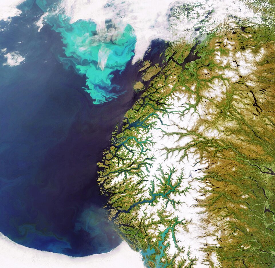
Although the images are fascinating and provide the marvellous feeling that users are ‘onboard the satellite’, they are not suitable for scientific use. Scientists use MERIS products that exploit the instrument’s 15 spectral bands and are generated with sophisticated algorithms. MIRAVI images use only a few spectral bands processed to appear the way the naked eye would see them.
ESA’s Envisat Mission Manager Henri Laur said: "The Envisat mission is a great success for Europe as a major source of information on the Earth system, including insights into factors contributing to climate change. Since its launch in 2002, Envisat continuously monitors the Earth's land, atmosphere, oceans and ice caps, thanks to its ten sophisticated instruments."

Envisat circles the Earth in a polar orbit at an
For further information, please contact:
ESA Media Relations Office
Tel: +33(0)1.53.69.7155
Fax: +33(0)1.53.69.7690