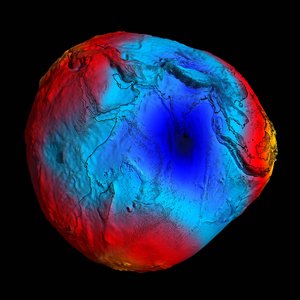
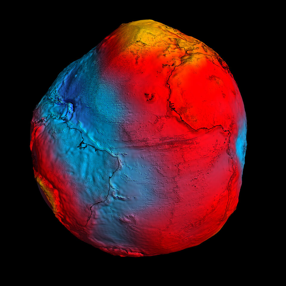
Earth's gravity revealed in unprecedented detail
After just two years in orbit, ESA's GOCE satellite has gathered enough data to map Earth's gravity with unrivalled precision. Scientists now have access to the most accurate model of the 'geoid' ever produced to further our understanding of how Earth works.
The new geoid was unveiled today at the Fourth International GOCE User Workshop hosted at the Technische Universität München in Munich, Germany. Media representatives and scientists from around the world have been treated to the best view yet of global gravity.
The geoid is the surface of an ideal global ocean in the absence of tides and currents, shaped only by gravity. It is a crucial reference for measuring ocean circulation, sea-level change and ice dynamics – all affected by climate change.
Prof. Reiner Rummel, former Head of the Institute for Astronomical and Physical Geodesy at the Technische Universität München, said, "We see a continuous stream of excellent GOCE gradiometry data coming in. With each new two-month cycle, our GOCE gravity field model is getting better and better.

"Now the time has come to use GOCE data for science and applications. I am particularly excited about the first oceanographic results.
"They show that GOCE will give us dynamic topography and circulation patterns of the oceans with unprecedented quality and resolution. I am confident that these results will help improve our understanding of the dynamics of world oceans."
The two-day workshop provides the science community with the latest information on the performance of the satellite and details about data products and user services.
Participants are also discussing how the GOCE geoid will make advances in ocean and climate studies, and improve our understanding of Earth’s internal structure.
For example, the gravity data from GOCE are helping to develop a deeper knowledge of the processes that cause earthquakes, such as the event that recently devastated Japan.
Since this earthquake was caused by tectonic plate movement under the ocean, the motion cannot be observed directly from space. However, earthquakes create signatures in gravity data, which could be used to understand the processes leading to these natural disasters and ultimately help to predict them.
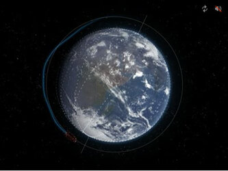
The GOCE satellite was launched in March 2009 and has now collected more than
Volker Liebig, Director of ESA's Earth Observation Programmes said, "Benefiting from a period of exceptional low solar activity, GOCE has been able to stay in low orbit and achieve coverage six weeks ahead of schedule.
"This also means that we still have fuel to continue measuring gravity until the end of 2012, thereby doubling the life of the mission and adding even more precision to the GOCE geoid."
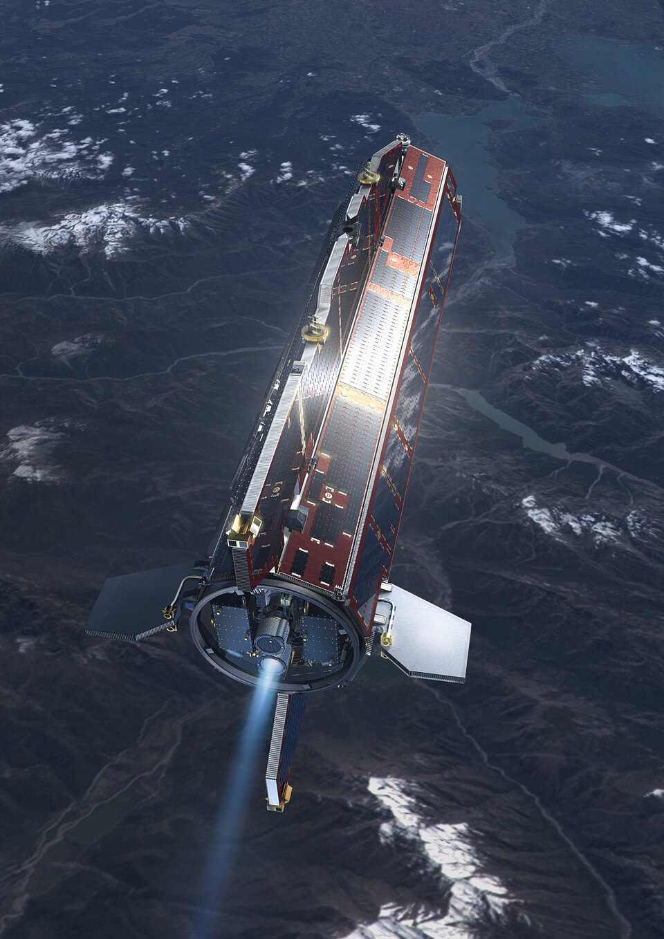
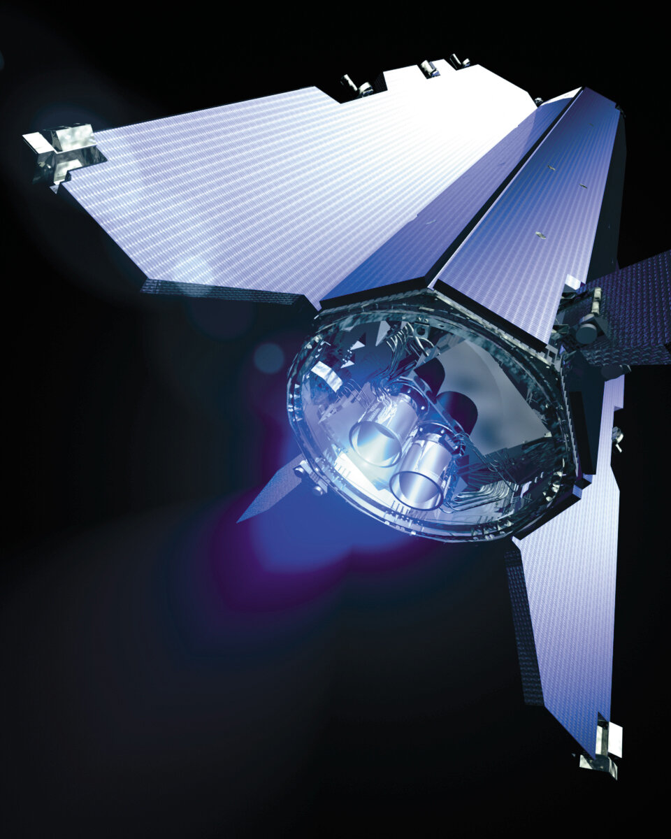
GOCE has achieved many firsts in Earth observation. Its gradiometer – six highly sensitive accelerometers measuring gravity in 3D – is the first in space.
It orbits at the lowest altitude of any observation satellite to gather the best data on Earth's gravity. The design of this sleek one-tonne satellite is unique.
In addition, GOCE uses an innovative ion engine that generates tiny forces to compensate for any drag the satellite experiences as it orbits through the remnants of Earth's atmosphere.
Prof. Liebig added, "You could say that, at its early conception, GOCE was more like science fiction. GOCE has now clearly demonstrated that it is a state-of-the-art mission."
Rune Floberghagen, ESA's GOCE Mission Manager, noted "This is a highly significant step for the mission. We now look forward to the coming months, when additional data will add to the accuracy of the GOCE geoid, further benefiting our data users."