Space radar techniques for land mapping
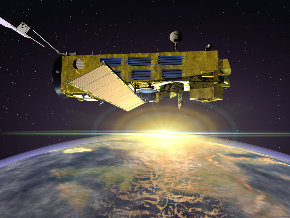
Entrepreneurs at ESA’s Business Incubation centre in the Netherlands have used radar technology from the agency’s Envisat remote-sensing satellite to develop a compact, high-resolution radar that can monitor land and buildings from small aircraft.
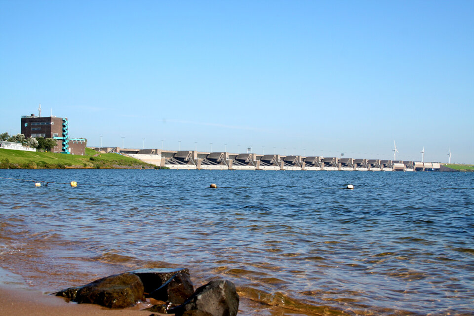
The radar can monitor structures such as dams, harbours, canals and buildings, leading to maps for urban planning, territory surveillance and cadastral updating. Several flights over the same location can spot changes between pictures, revealing ground movements that could affect structures.

“Because our system is so compact, it can be mounted on very small unmanned aircraft or on single-engine aircraft such as the Cessna 172. This makes it easy to take as many pictures of items or areas on land as necessary, at a much lower cost than traditional surveys,” explains Adriano Meta, inventor of the radar and Director of MetaSensing, the company he started to provide the service.
The sensor’s main advantage is that it can be flown on small, readily available and inexpensive aircraft. In comparison, conventional bulky radar requires large, costly planes, while laser systems need more time to take high-resolution pictures, and are therefore often flown on costly helicopters.
Satellite radar technology on small aircraft

“We developed our high-resolution mapping sensor by integrating the synthetic aperture radar technology developed by ESA and the Technical University in Delft,” says Mr Meta.
The synthetic aperture radar (SAR) technology developed by ESA for its satellites has considerably advanced the quality of radar imaging. It is now used for various applications, such as providing terrain information to geologists to understand ground movements and help in mineral exploration, imaging oil spills in water to help public agencies intervene at the right time, and mapping ice hazards for navigators. SAR can take 3D pictures through clouds and darkness, which has made it possible for ESA’s Envisat and ERS satellites to track changes accurately in the polar ice sheets.

While satellites are ideal for providing information on large regions and remote locations on Earth, more frequent flights and higher resolution could in some cases be an advantage for local areas and structures.
The use of a small aircraft makes it much easier to plan the coverage and repeat measurements of an area over time in order to detect changes and identify potential weaknesses in geological and architectural structures. Several flights also make it possible to spot changes of objects on the ground.

“With this system, we can provide a cost-effective service to private companies and public institutions that need accurate mapping, millimetre deformation monitoring, change detection and vegetation classification on a frequent basis,” explains Mr Meta.
“With the lower cost of small aircraft, it becomes possible to take pictures from above to map areas and identify changes instead of doing measurements on the ground. Many would not have been possible to do earlier with the high operating costs of helicopters.”
“Because our sensor is simple to use and can work at the speed of a small airplane, we can cover up to 600 sq km per hour with a resolution up to the 20 cm range,” adds Mr Meta.
ESA expertise kick-started the prototype development

MetaSensing is hosted at ESA’s Business Incubation centre at ESTEC, which, according to Mr Meta, has been very important in the sensor’s development. “ESA’s business incubator was indispensable for manufacturing the first sensor prototype. The access to ESA resources and expertise was important.”
“Without the technology spin-off of the SAR technology from the ERS and Envisat satellites and the research at TU Delft, as well as the support from ESA experts, we would not be where we are today.”
Bruno Sarti, Head of ESA’s Engineering Services Section, adds, “The realisation of MetaSensing sensors is a typical example of the honest and efficient cooperation between an industrial team pursuing an innovative technological application and ESA experts sharing their engineering knowhow.”
Function validated in tests over Rotterdam

The MetaSensing system underwent final testing on an aircraft from Rotterdam Airport in March. Testing the system on landscapes with well-known structures was extremely important for verifying the sensor.
“After finalising and testing all algorithms in the laboratory, we verified the performance on industrial structures and buildings. We reached a very high accuracy at an unprecedented spatial resolution, in the order of decimetres, which has never before been commercially available,” says Mr Meta. “We are in the process of verifying the upper accuracy limit of our instrument. We expect to reach a level of millimetre deformation accuracy in the very near future.”
Once the sensor is operational later this year, the start-up company will look for investment funding and begin the market introduction of its innovative high-resolution, cost-effective mapping and monitoring technology.
Business Incubation
ESA’s Business Incubation is one of the major initiatives of the Agency’s Technology Transfer Programme Office (TTPO). As part of its endeavour to encourage the transfer and commercialisation of space technologies, three Business Incubation centres have been set up at ESTEC in the Netherlands, ESOC in Germany, and ESRIN in Italy. The centres support selected entrepreneurs with comprehensive commercial and technical assistance to help them start up businesses that use space technology in non-space industrial, scientific and commercial fields.
ESA's Technology Transfer Programme Office (TTPO)
The main mission of the TTPO is to facilitate the use of space technology and space systems for non-space applications and to demonstrate the benefit of the European space programme to European citizens. The office is responsible for defining the overall approach and strategy for the transfer of space technologies including the incubation of start-up companies and their funding. For more information, please contact:
ESA’s Technology Transfer Programme Office
European Space Agency ESA
Keplerlaan 1, 2200 AG, Noordwijk ZH
The Netherlands
Tel: +31 (0) 71 565 6208
Email: ttp @ esa.int
Website: http://www.esa.int/ttp


