Earth observation aids disaster relief in Pakistan
Devastating around a third of the country, it is estimated that the floods in Pakistan have affected up to 20 million people. As part of the effort to support humanitarian relief, satellite data are being used to generate essential maps of the flooded areas.
Pakistan's floods are arguably the worst in living memory, leaving many hundreds dead and millions homeless or marooned as villages and infrastructure have washed away. The fear now is that more will die from water-borne diseases. The United Nations has warned that up to 3.5 million children could be in danger of falling victim to infection.
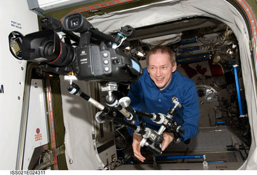
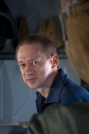
While data from a range of Earth observation satellites are being used, both through the International Charter Space and Major Disasters and the Global Monitoring for Environment and Security (GMES) initiative, to provide essential mapping for emergency response, ESA astronaut Frank De Winne is supporting UNICEF's desperate effort to provide clean drinking water to those in need.

Maps generated via the Charter are essential because they use the very latest satellite imagery to show exactly how far the flood waters have spread, enabling rescue teams on the ground to identify the best way to access those stranded and in need. This is especially important because this year's flood has affected such a vast area.
Typically, maps are created using radar imagery such as that acquired by Envisat's Advanced Synthetic Aperture Radar 'ASAR', which can see through cloud and darkness, as well as from optical instruments such as Envisat's Medium Resolution Imaging Spectrometer Instrument 'MERIS' or the French Spot 5 satellite.
Mapping services are also being provided through the GMES Services and Applications for Emergency Response 'SAFER' project, which uses timely satellite data to deliver rapid mapping services for disaster management.
SAFER is a consortium of 55 European partners to provide support for all types of disaster. Apart from Pakistan, recent services have been provided for flooding in BurKina Faso in west Africa, floods in Bulgaria and floods in Moldova.

Rescuing people from the flood water has been the most immediate concern, but now comes the task of providing the displaced population with clean water, food and shelter – an issue close to Frank De Winne's heart. During his time on the International Space Station, Frank had the enviable opportunity to view Earth from afar, and can appreciate the fragile nature of our planet more than most.
As well as being an astronaut, Frank is also a Goodwill Ambassador for UNICEF Belgium, and along with ESA, has been supporting their Water, Sanitation and Hygiene 'WaSH' campaign since his OasSIS mission on the ISS.

"Water is a scarce commodity in this devastated region, which is the key for the survival and the well being of millions of children. Access to clean water is also an important issue on the International Space Station,” says Frank.
"Technology developed for space applications for water clearance and recycling also have the potential to contribute to a solution. As Goodwill Ambassador, I give my support and sincerely hope we can make a difference for the children of Pakistan."
If you wish to contribute to the UNICEF Belgium relief effort, please visit www.unicef.be