Europe's MSG weather satellite serves scientists as well as forecasters
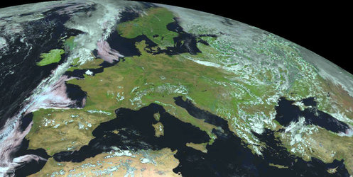
The first Meteosat Second Generation meteorological satellite is today in operational service as Meteosat-8. The data it streams down from 36000 km over Africa's Gulf of Guinea assist not just European weather forecasters but also numerous scientific teams.
This dual role was highlighted during a two-day Meteosat Second Generation (MSG) Research Announcement of Opportunity Workshop in Salzburg Austria, last week, running alongside the final two days of ESA's Envisat Symposium. The Workshop comprised a total of 25 presentations given by Principal Investigators (PIs) detailing their current and planned uses of MSG products, which have been routinely available since January.

"Quite a few projects exploit synergies between MSG and Envisat or ERS results," said MSG Mission Manager Eva Oriol-Pibernat. "Participants of one event were pleased to be able to attend related sessions in the other."
Developed by ESA in co-operation with spacecraft operator EUMETSAT, the European Organisation for the Exploitation of Meteorological Satellites, MSG is the follow-on to the successful Meteosat series that has been operationally supplying weather data to European forecasters from geostationary orbit since 1977, when the first Meteosat was launched by ESA.
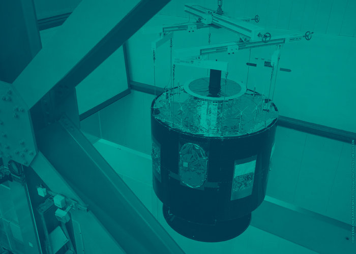
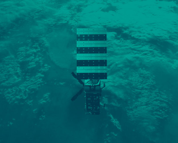
MSG-1 was launched by EUMETSAT in August 2002. Following in-orbit qualification, at the start of this year it began routine operations. The satellite is much larger than its predecessors, and its main camera, the Spinning Enhanced Visible and Infra-red Imager (SEVIRI), acquires imagery more frequently with a sharper resolution across a wider range of wavelengths.
Also aboard is another instrument called the Geostationary Earth Radiation Budget (GERB), that quantifies the planetary energy balance between solar radiation sent to Earth from the Sun and that reflected or scattered radiation back, or alternatively lost as heat – a key indicator of the Earth's climate.
GERB was explicitly designed as a scientific sensor. Conversely SEVIRI is optimised for operational weather forecasting, but returns data of great use to scientists concerning the distribution and temperature of Earth's cloud cover, atmospheric water vapour and trace gases and visible and infrared views of its land and sea surface.
There was strong interest from the start in data from both these instruments: the MSG Research Announcement of Opportunity was released by ESA and EUMETSAT back in 1999, receiving some 43 proposals. Last week's event was the first opportunity for scientific users of MSG results to meet since SEVIRI and GERB data became routinely available.

"The presentations included updates on the calibration and validation of the MSG instruments," explained Yves Govaerts of EUMETSAT. "The majority were dedicated to SEVIRI data, with many presenters stressing its exceptional radiometric quality."
Among a trio of presentations dedicated to GERB was one by David Llewellyn-Jones of the University of Leicester, recounting how its data – combined with atmospheric results gathered by Envisat instruments - are being used to evaluate models of how top-of-atmosphere greenhouse gas concentrations cause shifts in the terrestrial radiation budget.
Turning to SEVIRI, separate teams from Valladolid University and King's College London detailed how infrared bands on the sensor can be used to detect forest or vegetation fire outbreaks or biomass burning smaller than one hectare in area.
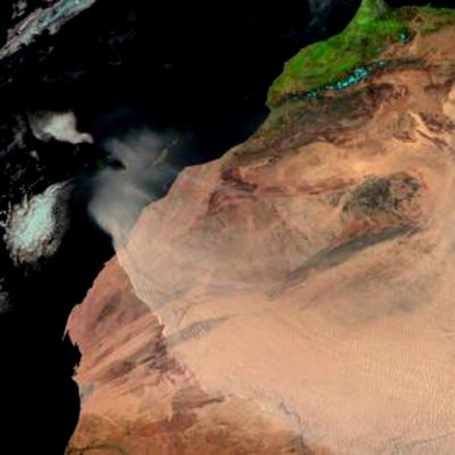
The instrument's relatively limited spatial resolution is made up for by high temporal resolution, with new images being available every 15 minutes with the latter group planning to use the data as a means of estimating the minimum amount of the carbon and aerosols emitted by biomass burning across southern Africa, useful information for improving the accuracy of climate models. SEVIRI's capability to detect dust and African desert sand were also demonstrated.
Other presentations recounted SEVIRI's enhanced ability to differentiate types of water and ice clouds – with one group from the University of Marburg calling the instrument "a significant step forward in the remote sensing of fog" during both day and night. Fog detection and description is particularly important in terms of air quality as well as for ground and air traffic management.
With Sicily's Mount Etna volcano currently showing signs of activity, Mauro Coltelli of Italy's Institute of Geophysics and Volcanology (INGV) explained how he plans to combine data from ground-based cameras on the volcano summit with infrared imagery from SEVIRI as part of an ash cloud monitoring system furnishing information to nearby Catania International Airport, the Italian National Civil Protection Agency and also the country's Agency for Civil Aviation.
SEVIRI is also one of a number of satellite sensors being used operationally along with in-situ resources to measure sea surface temperature (SST) on a near-real time basis - an international project called the Global Ocean Data Assimilation Experiment (GODAE) high-resolution sea surface temperature pilot project (GHRSST-PP).
Craig Donlon of the UK Met Office's Hadley Centre for Climate Prediction and Research stated that SEVIRI SST data produced at the EUMETSAT Ocean and Ice Satellite Application Facility "form a core data source" for the ongoing project.

Last week's Workshop followed a previous event that took place in Bologna, Italy, in May 2000, and a third and last Workshop is planned for 2006. By then the second spacecraft in the series, MSG-2, will have been launched from French Guiana. Its deployment by Ariane 5 launcher is currently scheduled for spring of next year.
This will be followed by the launch of the first of a new series of polar orbiting weather satellites, MetOp, planned for the end of 2005. Scientists can submit proposals to ESA and EUMETSAT for the EPS/MetOp Research Announcement of Opportunity until 20 October this year.