
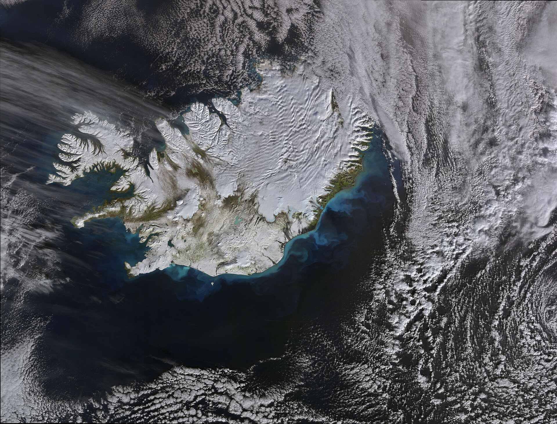
La Terre vue de l'Espace : Premières neiges en Islande
Cette image d’Envisat nous montre l’île d’Islande recouverte par les premières neiges de l’hiver 2008.
L’Islande – située dans l’Océan Atlantique Nord à l’est du Groenland et juste au sud du Cercle Polaire Arctique – est en fait le plus occidental des pays européens.
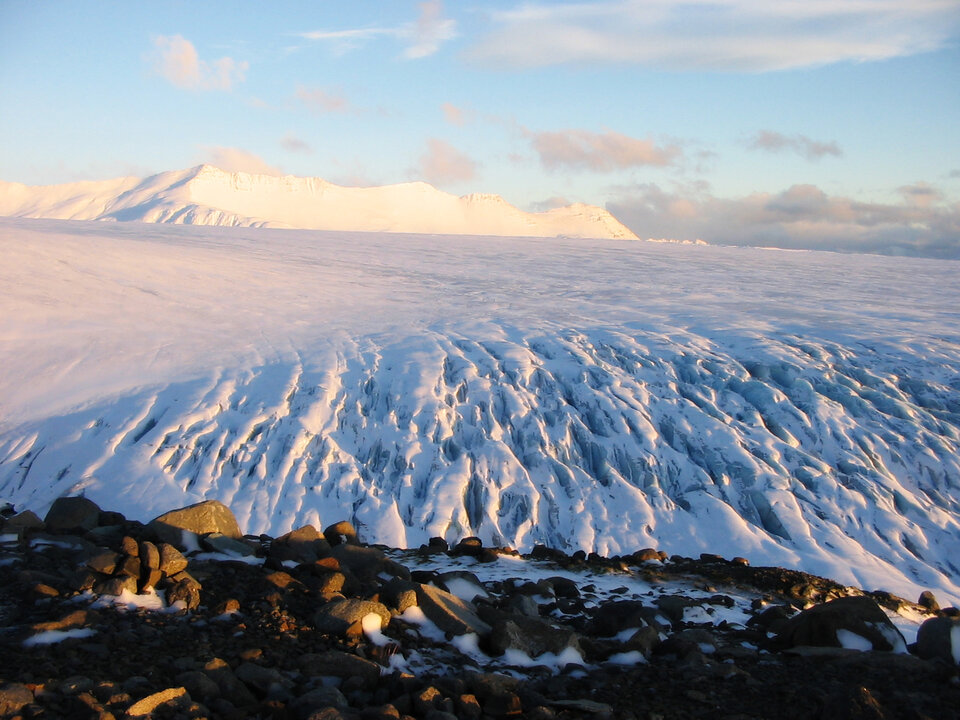
Plus de 11% de l’Islande est recouverte de glaciers. Le glacier du Vatnajokull (situé au sud-est, là où la zone blanche est la plus importante) couvre une surface de
Reykjavik, la capitale, se trouve au sud-ouest, légèrement vers l’intérieur des terres à partir de la péninsule en forme de botte qui s’étend dans l’Océan Atlantique. Avec sa population de plus de 100 000 habitants, c’est un port important et le poumon commercial du pays.
Outre ses glaciers, l’Islande comporte également de nombreux volcans, des lacs, des étendues de lave et plus de 800 sources chaudes. Reykjavik, qui signifie en Islandais « baie fumante » a été baptisée ainsi en raison des panaches de fumée s’élevant des sources chaudes.
De brillantes spirales bleu-vert sont visibles dans les eaux côtières au sud et à l’ouest. Elles sont causées par le phytoplankton, qui forme la base de la pyramide alimentaire dans l’océan et joue un rôle essentiel dans l’écosystème planétaire.
Cette image a été prise le 4 octobre 2008 par la caméra MERIS (Medium Resolution Imaging Spectrometer) d’Envisat en mode « pleine résolution » qui permet de distinguer des détails de 300 m au sol.
