
Earth from Space: The Niger delta
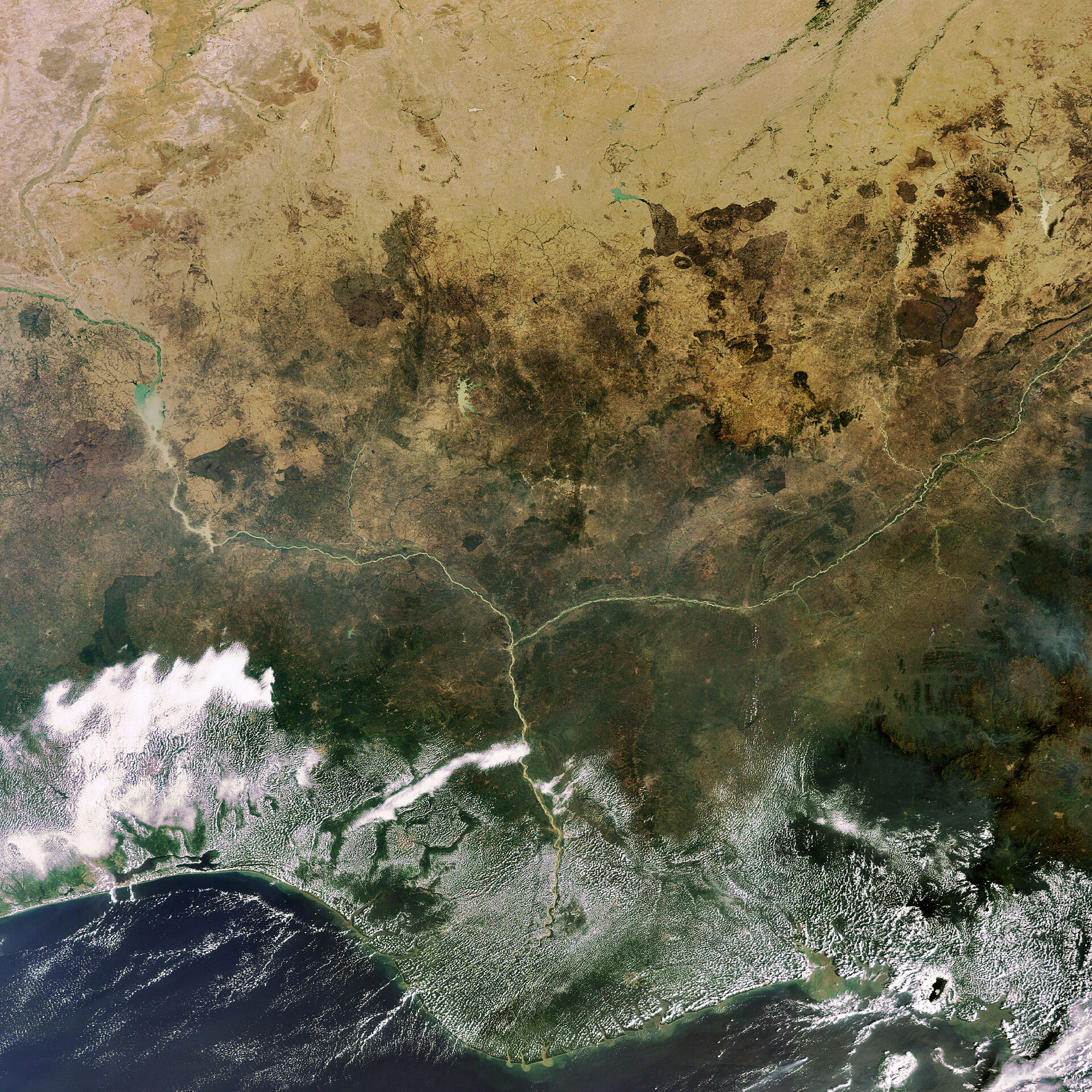
This Envisat image highlights the lower Niger River system in the West African country of Nigeria, where the Niger River (left) and the Benue River merge.
With a length of 4180 km, the Niger River – the longest and largest river in West Africa – is the third longest river in Africa, after the Nile and Congo. It originates in the highlands of southern Guinea and flows through Guinea, Mali, Niger, Benin and Nigeria.
The Benue River, Niger’s longest tributary with a length of about 1400 km, joins the Niger at the town of Lokoja. From this confluence, the Niger makes a nearly 90-degree turn southward and flows in that direction until it empties in the Gulf of Guinea in the Atlantic Ocean.
Before entering the gulf, the Niger forms a wide, fan-shaped delta that spans nearly 190 km and makes up more than seven percent of Nigeria’s land mass. The delta holds some of the world’s richest oil deposits.
Lagos city, the former capital of Nigeria, is located to the west of Lagos Lagoon (visible as a dark blue, bird-shaped body of water along the coast to the left of the Niger).
Also visible are the Kainji (the bright green body of water with tan sediment in the upper right hand corner) and Shiroro (the light green body of water above and to the left of where the Niger and Benue meet) Reservoirs.
This image was acquired by Envisat's Medium Resolution Imaging Spectrometer (MERIS) instrument on 12 December 2007, working in Full Resolution mode to provide a spatial resolution of 300 metres.

