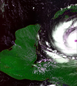
Tropical Storm Noel
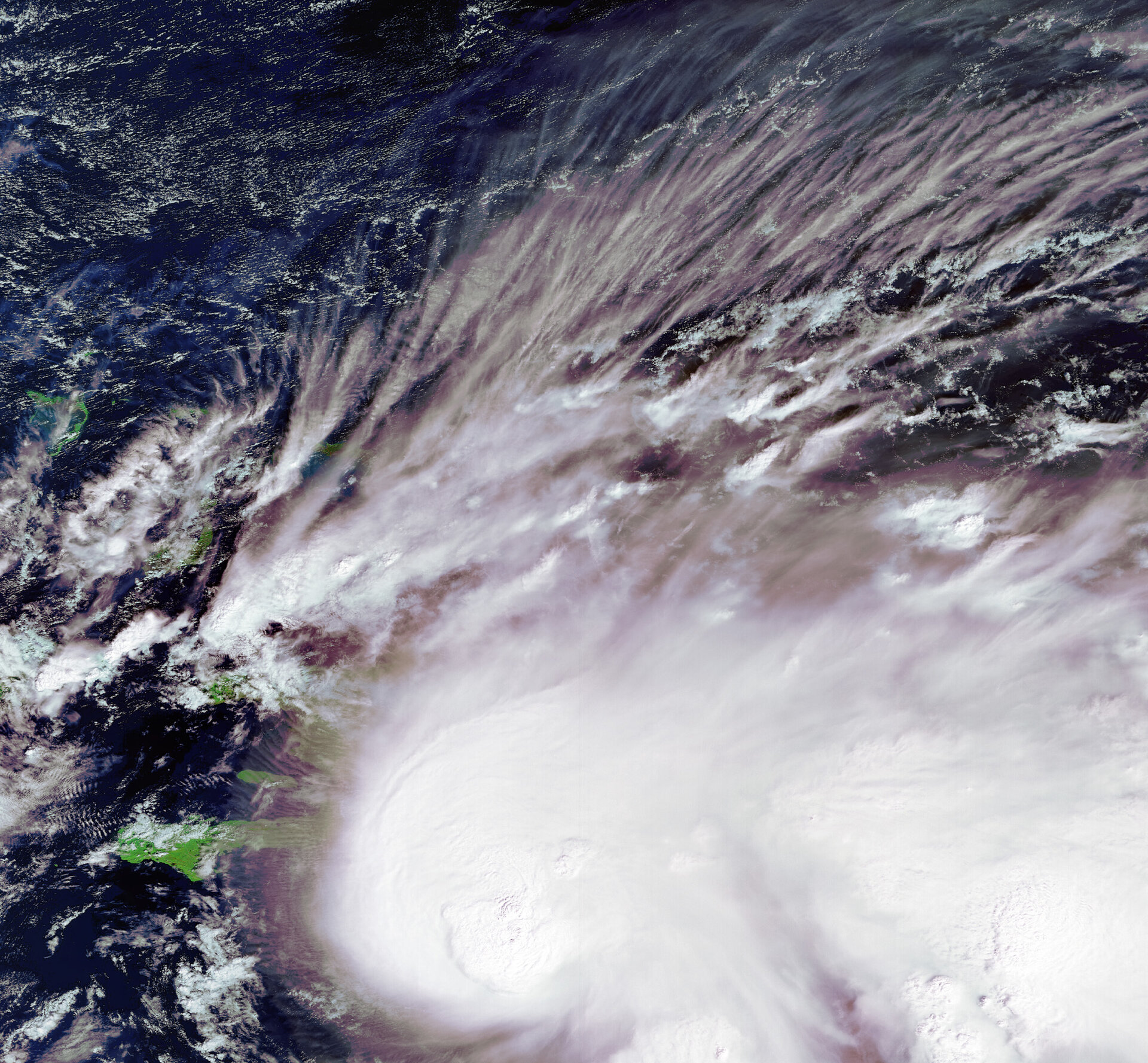
This Envisat image captures Noel moving westward across the Caribbean Sea. At the time of this acquisition, Noel was a tropical depression but formed into a tropical storm later on Sunday. Noel was projected to reach Haiti and the Dominican Republic early Monday morning before heading toward Cuba and the Bahamas.
Forecasters said Noel, the 14th named storm of the Atlantic hurricane season, has tropical storm force winds fanning 225 km from its centre and could unleash 25 to 50 centimeters of water on Hispaniola, southeastern Cuba and Jamaica.
Image acquired 28 October 2007 at 14:54 UTC by the MERIS (Medium Resolution Imaging Spectrometer) instrument aboard ESA’s Envisat satellite while working in Full Resolution mode to provide a spatial resolution of 300 metres. MERIS images are available on ESA’s MIRAVI website, which gives access to Envisat’s most recently acquired images.
MIRAVI, short for MERIS Images RApid VIsualisation, tracks Envisat around the globe, generates images from the raw data collected by MERIS and provides them online within two hours. MIRAVI is free and requires no registration.