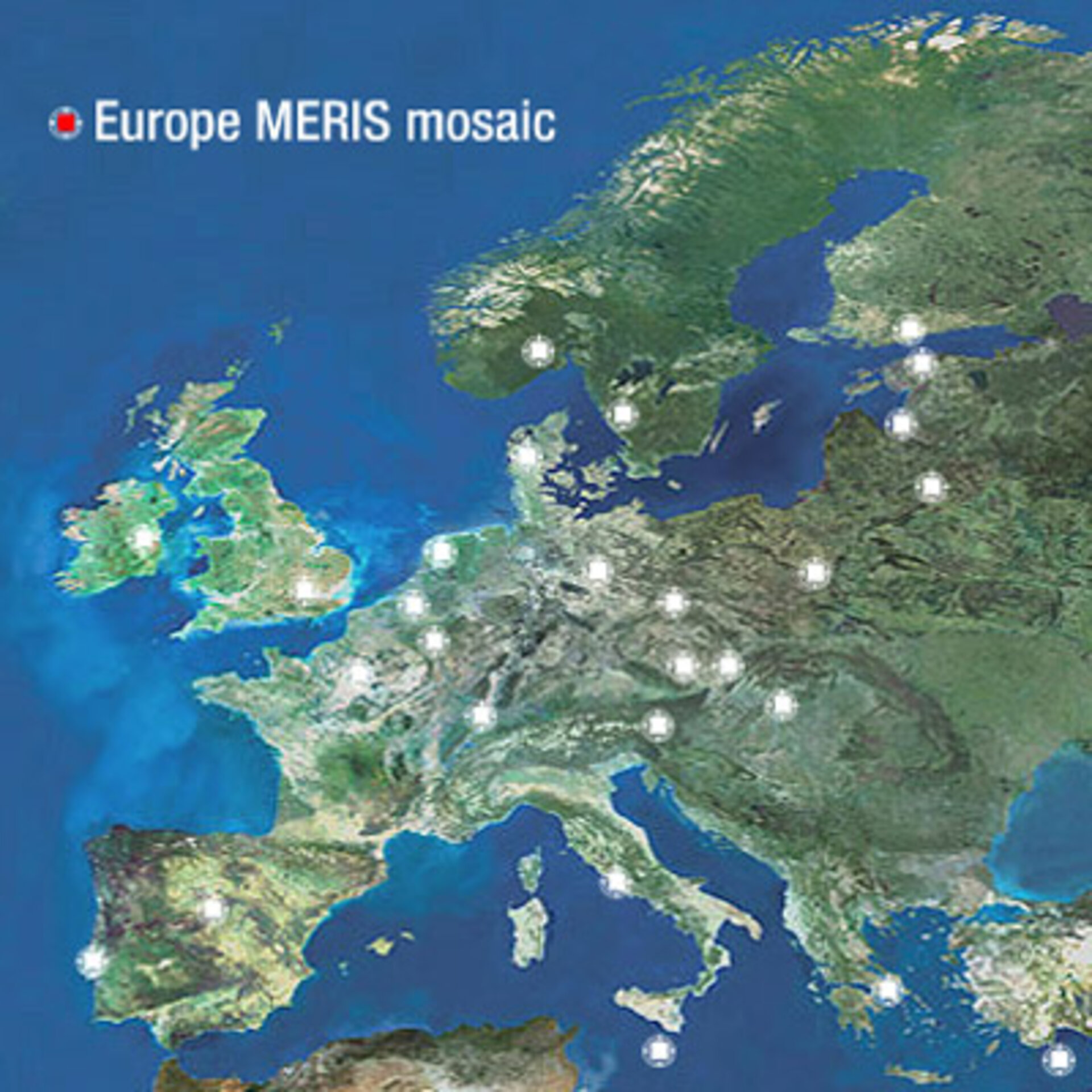
MERIS captures all of Europe from orbit
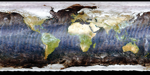
See the face of Europe from space – with the entire continent covered in consistent detail. This set of true-colour Envisat satellite mosaics depicts the ten newest members of the European Union as well as ESA's 15 current member states and two pending accessions of Greece and Luxembourg.
The crowning mosaic in the series represents approximately 1.6 million square kilometres of European territory at 300-metre resolution.
All the mosaics were produced using the Medium Resolution Imaging Spectrometer (MERIS) instrument on ESA's Envisat environmental satellite, working in full resolution mode. The Innsbruck-based company GeoVille produced the mosaics for ESA. They are made up of around 160 separate MERIS images.
"Most of the images are taken in the time period between May to August 2003, and we started to order images around December of that year," explains Frederic Petrini of Geoville. "We finished the first part of the project eight months later, and it took us another two months to finish the all-Europe mosaic."
Once the images are ordered they were georeferenced, then mosaicked together. A colour match is run and irregularities such as clouds had to be corrected for. Millions of clouds were masked and substituted with actual data.
The mosaic scale is constant, so it needs more than six images to cover the whole of Germany while small countries like Luxembourg can be covered by only one image.
"I envisage that MERIS mosaics like this one will in future be produced more frequently to identify changes happening on our planet," adds GeoVille's Christian Hoffman. "It is an excellent sensor to make the link between higher resolution data used for hotspot monitoring and coarser resolution data used so far for global monitoring."
The Europe mosaic can also be browsed at full resolution using the ESRIN Web Map Server at the link on the right navigation bar.