New land maps available in time for spring
ESA is making land data maps of Europe and Africa available to the public online in near-real time. The maps target land activities that are of particular interest to the agriculture and food-security user communities.
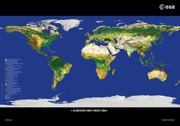
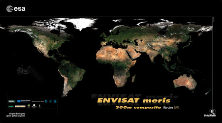
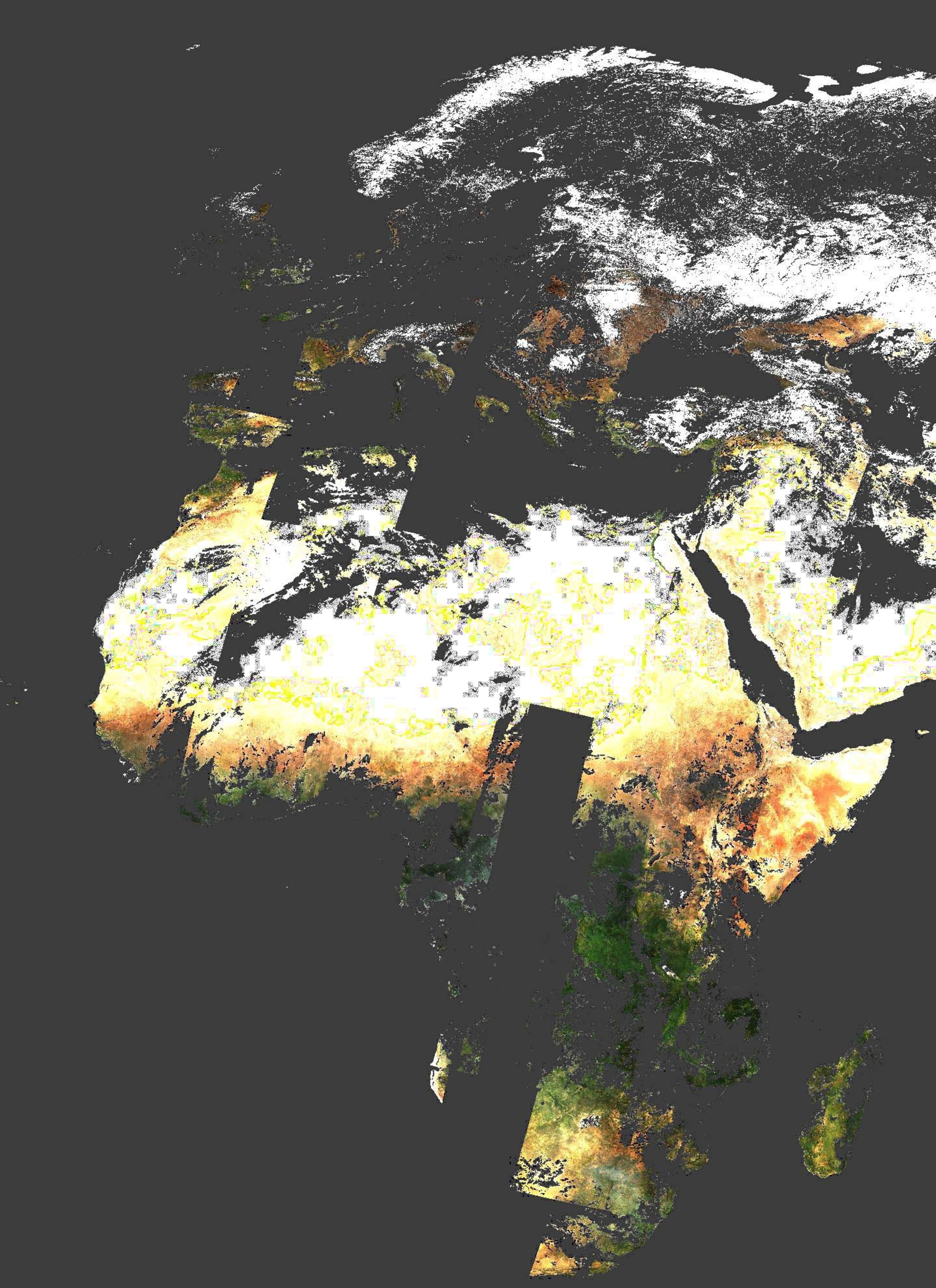
The Culture-MERIS service demonstration – based on data from Envisat’s Medium Resolution Imaging Spectrometer (MERIS) at a resolution of 300 m – is updated every Wednesday with data acquired Monday to Sunday of the previous week.
Users are able to download maps for selected countries or regions at no cost here: ftp://culturemeris:culturemeris@ionia2.esrin.esa.int
(User and Password are both ‘culturemeris’).