


MetOp overview

The Meteorological Operational satellite programme (MetOp) is a European undertaking providing weather data services to monitor the climate and improve weather forecasts. It represents the European contribution to a new co-operative venture with the United States’ National Oceanic and Atmospheric Administration (NOAA).
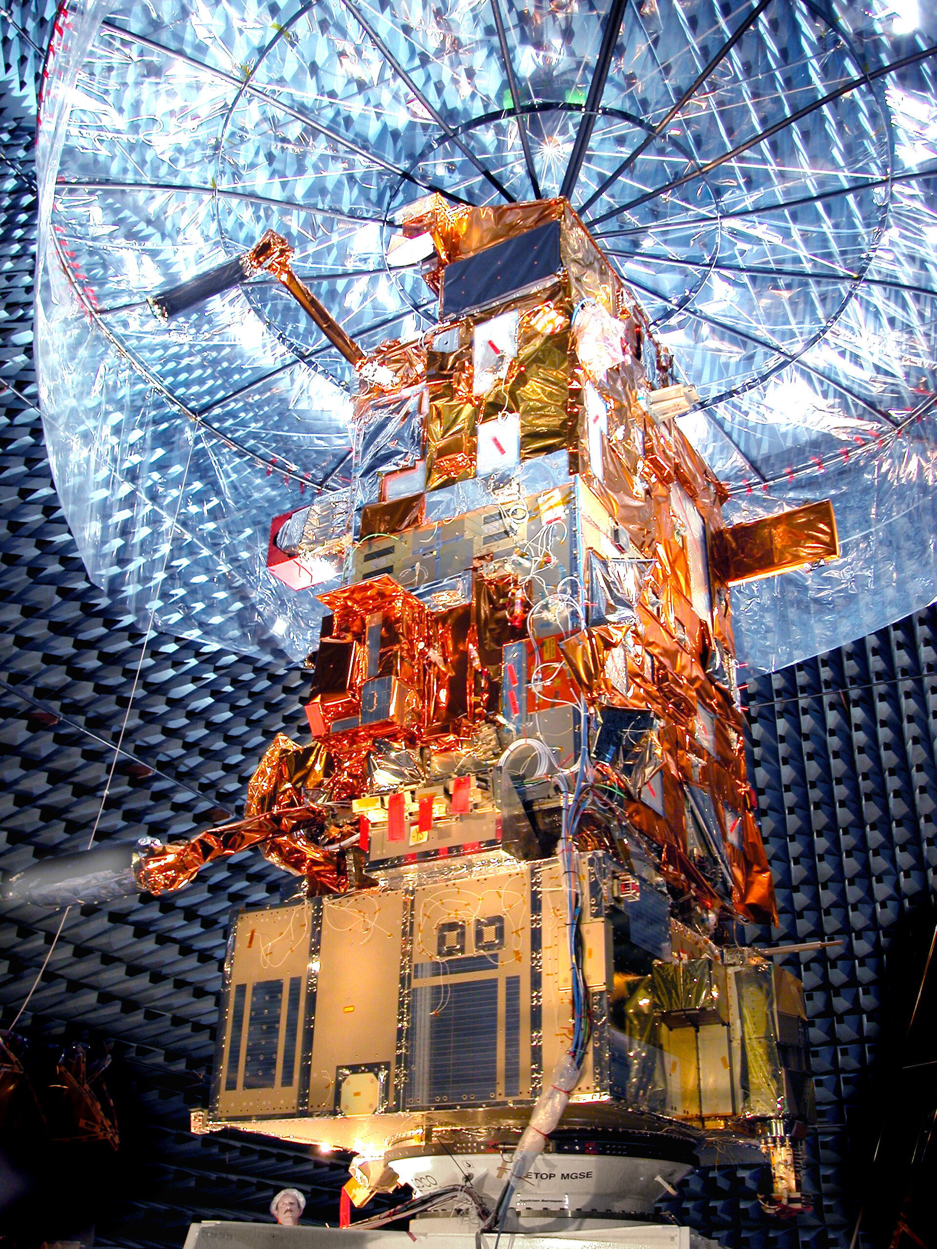
MetOp carries a set of 'heritage' instruments provided by the United States and a new generation of European instruments that offer improved remote sensing capabilities to both meteorologists and climatologists. The new instruments will augment the accuracy of temperature and humidity measurements, readings of wind speed and direction, and atmospheric ozone profiles.
MetOp flies in a polar orbit corresponding to local 'morning' while the US will be responsible for 'afternoon' coverage. The combination of instruments on board MetOp has remote sensing capabilities to observe the Earth by day and night as well as under cloudy conditions.
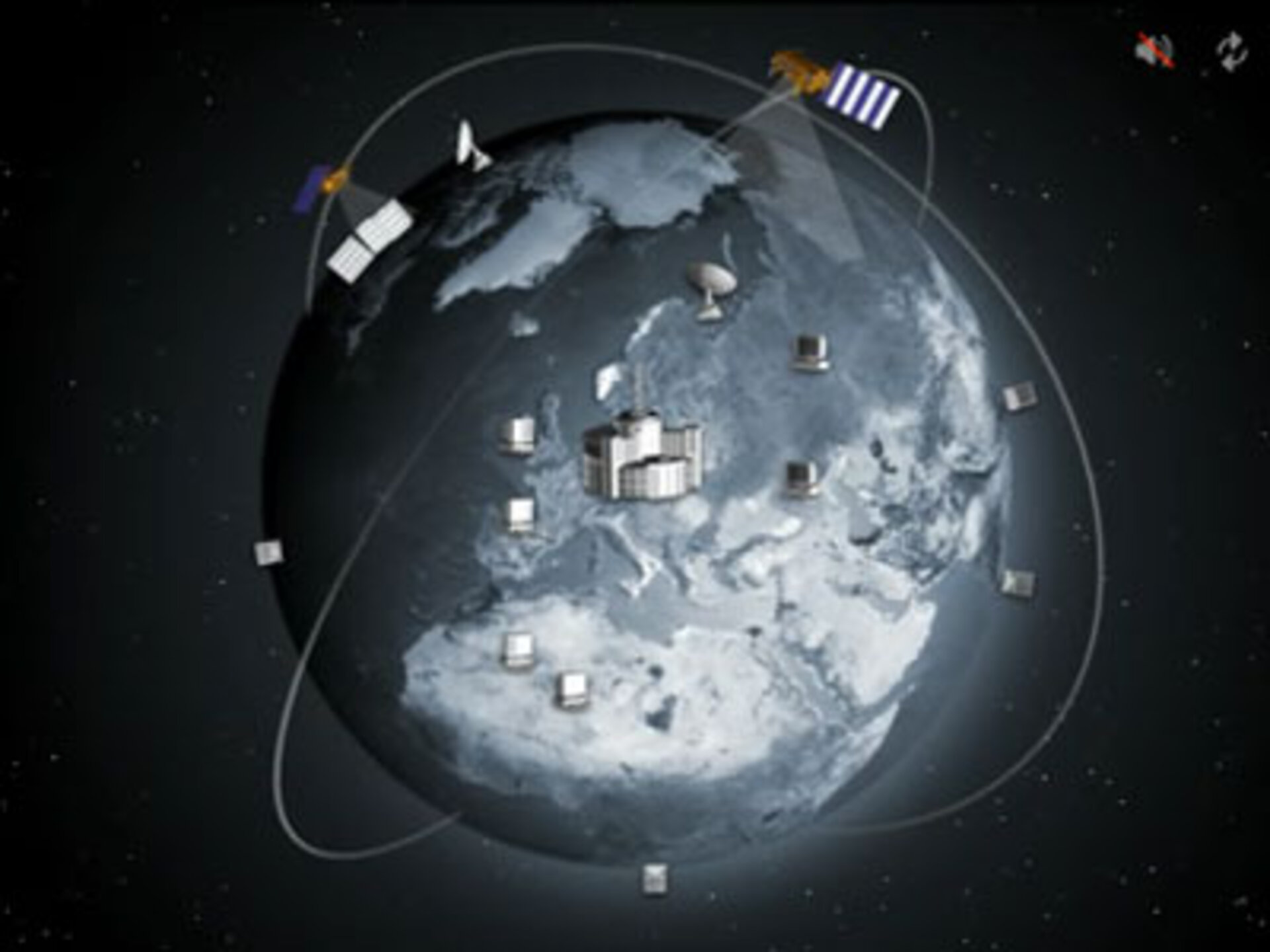
MetOp is a series of three satellites, forming the space segment of Eumesat's Polar System (EPS). Launched on 19 October 2006, MetOp-A, the first satellite in the series, replaced one of two satellite services operated by NOAA and is Europe’s first polar-orbiting satellite dedicated to operational meteorology. MetOp-B, the second in the series, was launched on 17 September 2012 and operates in tandem with MetOp-A, increasing the wealth of data even further. The third and final satellite, MetOp-C will be launched in 2018.
Launching a new satellite every 5–6 years guarantees a continuous delivery of high-quality data for medium- and long-term weather forecasting and climate monitoring until at least 2020.
To ensure this supply of meteorological data from polar orbit is carried though to the decades beyond 2020, ESA is preparing the next generation of MetOp satellites.
Comprising six MetOp Second Generation satellites in total, the mission is based on a pair of satellites that carry different packages to deliver complementary meteorological information. The A series of satellites will be equipped with atmospheric sounders as well as optical and infrared imagers, while the B series focuses on microwave sensors. In addition, the A series will carry the Copernicus Sentinel-5 instrument on behalf of the European Commission.
Each satellite will be launched separately. It is envisaged that the first A satellite will be launched in 2021, followed by the first B satellite in 2022.