

Proba-1 overview

Proba stands for PRoject for OnBoard Autonomy. The Proba satellites are among the smallest and most advanced spacecraft ever to be flown by ESA. The first satellite in the series, Proba-1, was launched in October 2001, as a technology demonstration mission, and it is now operating as an Earth Observation Third Party Mission.
Proba-1 performs autonomous guidance, navigation, control, onboard scheduling and payload resources management. Its payload includes a compact multi-spectral imager and high-resolution camera.
Just 60x60x80 cm and weighing only 94 kg, Proba-1 aims to use and demonstrate automatic functions, both onboard and in the mission ground segment.
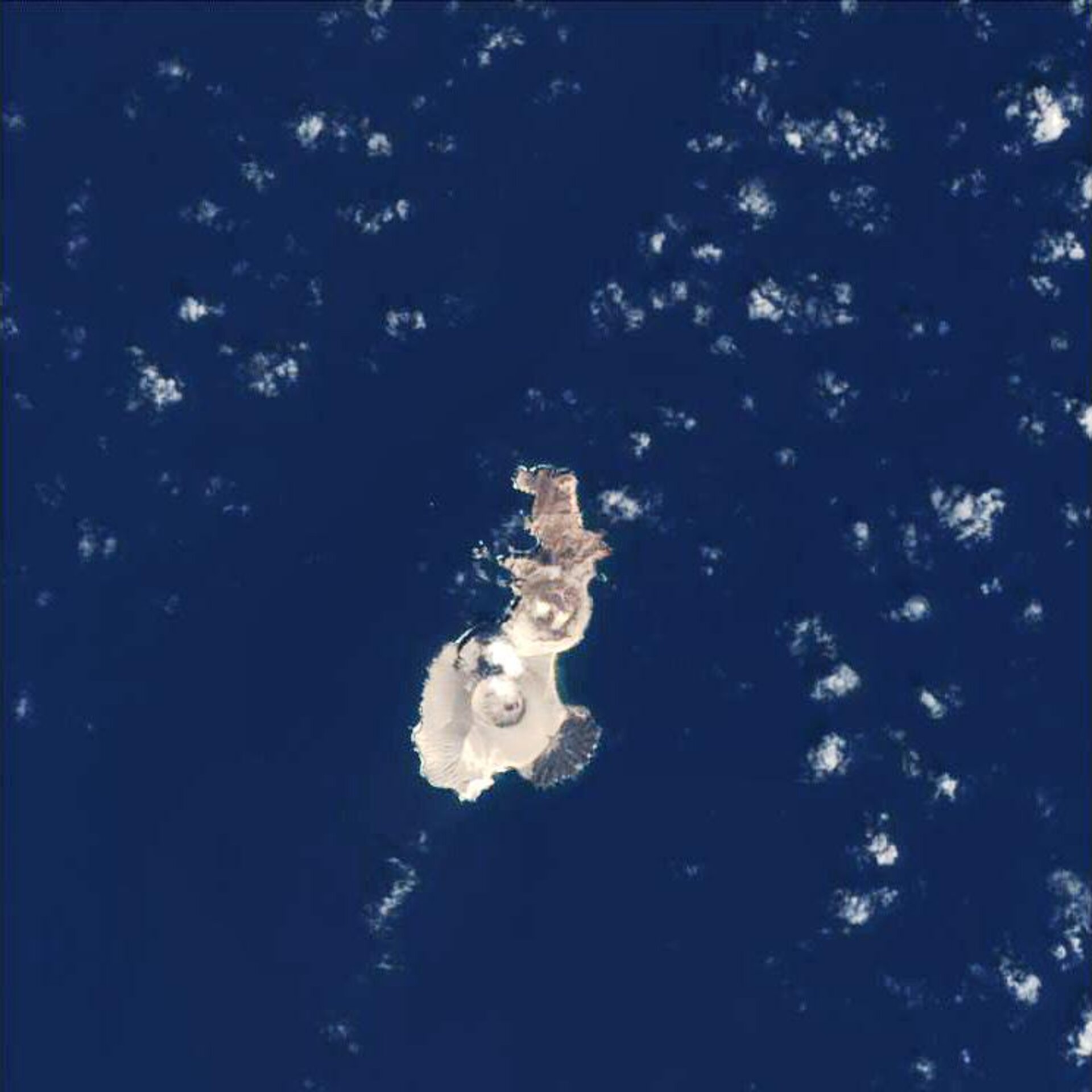
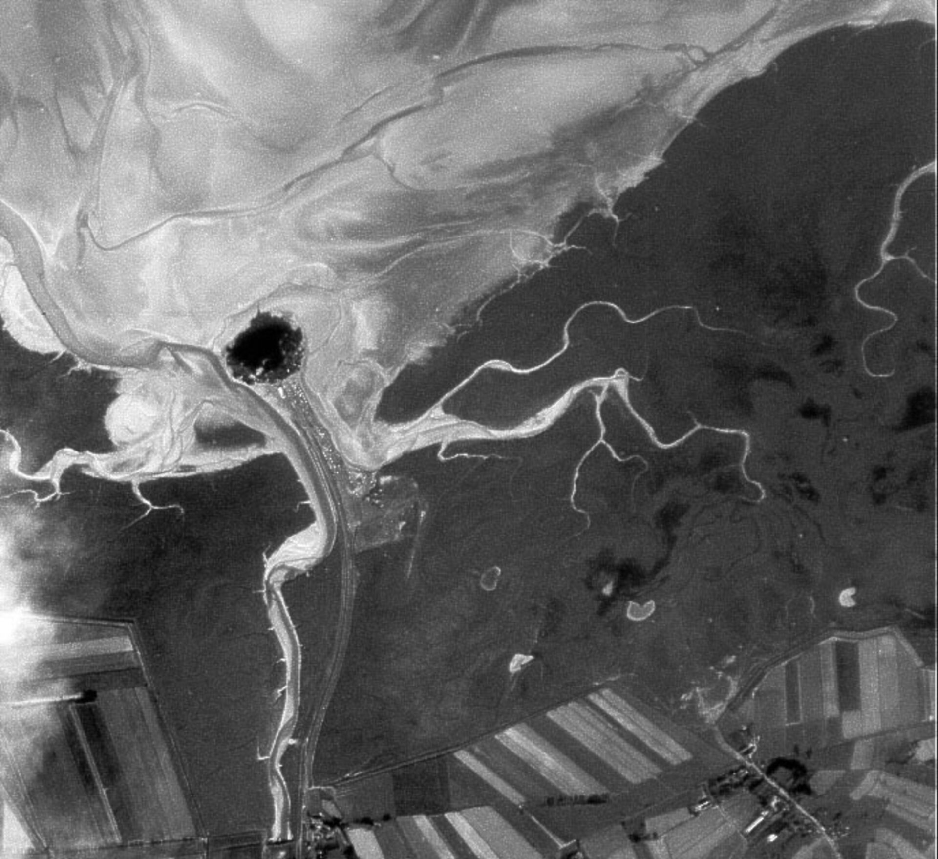
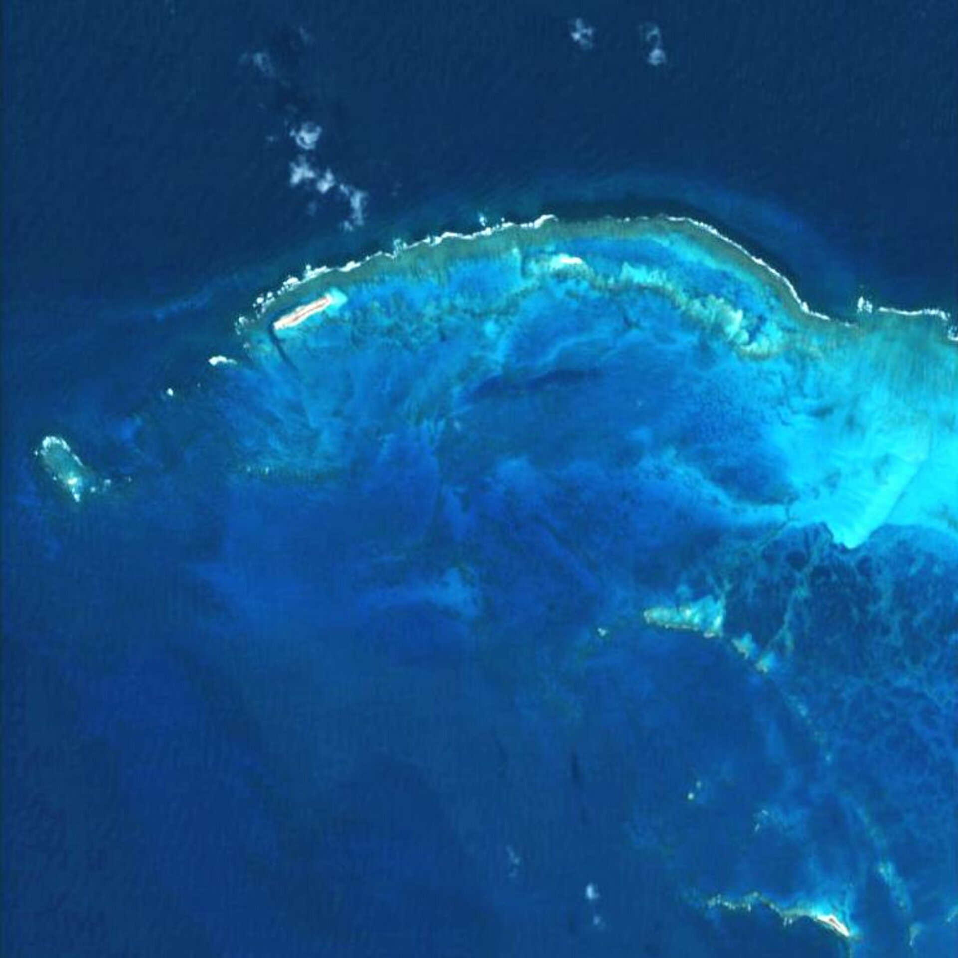
Proba-1's main payload is a hyperspectral instrument weighing just 14 kg called CHRIS – standing for Compact High Resolution Imaging Spectrometer. Despite this small size and a power requirement of just nine watts CHRIS can image an 18.6 sq km area at multiple angles, achieving a resolution of 18 m in up to 19 programmable spectral bands. Furthermore its agile platform can be tilted during acquisition to provide images of the same site taken at different angles.
That means CHRIS returns a wealth of biophysical and biochemical data as well as visual information about a given target, and can be used for activities including environmental monitoring, crop forecasting, forest cataloguing and marine science.
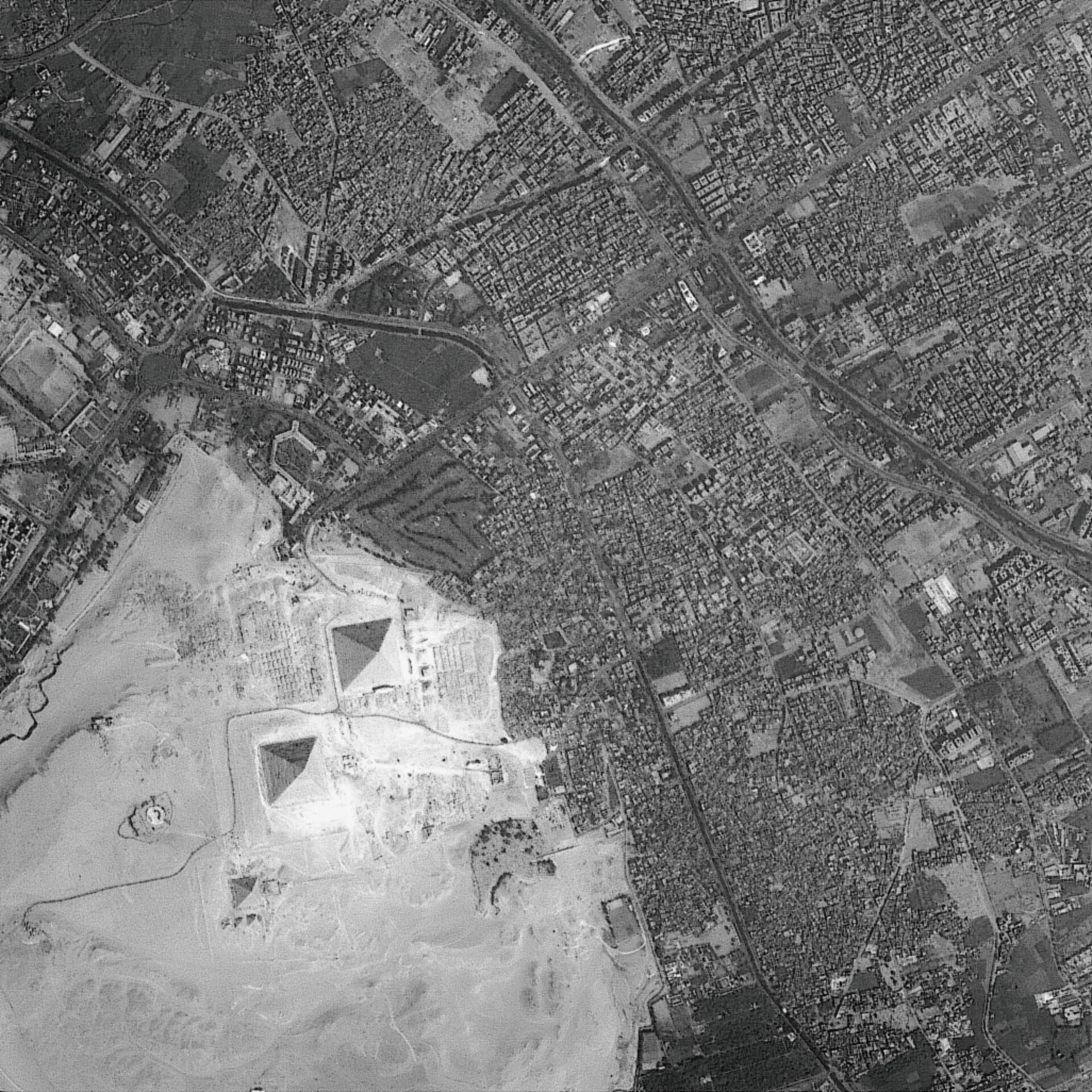
Also aboard is the compact High-Resolution Camera (HRC), which acquires black and white 25-km square images to a resolution of five metres.
| Launch |
22 October 2001 from Sriharikota, India |
|---|---|
| Launcher | Antrix/ISRO PSLV-C3 |
| Launch mass | 94 kg |
| Number of technological payloads | 6 including autonomous star tracker and GPS sensor |
| Number of instruments | 8 including Compact High Resolution Imaging Spectrometer (CHRIS) |
| Orbit |
Sun synchronous altitude 681x561 km |
| Inclination | 97.9 degrees |
| Time for one orbit | 96.97 hours |
| Cycle | Approximately 7 day repeat |

