New satellite maps of Haiti coming in
As rescue workers scramble to provide assistance to hundreds of thousands of people following Haiti’s earthquake, Earth observation satellite data continues to provide updated views of the situation on the ground.
Following the 7.0-magnitude earthquake that hit Haiti on 12 January, international agencies requested satellite data of the area from the International Charter on 'Space and Major Disasters'.
The Charter, an international initiative aimed at providing satellite data free of charge to those affected by disasters anywhere in the world, immediately began re-tasking their satellites to get the data urgently needed.
Data are being collected by various satellites including Japan’s ALOS, CNES’s Spot-5, the U.S.’s WorldView and QuickBird, Canada’s RADARSAT-2, China’s HJ-1-A/B and ESA’s ERS-2 and Envisat.
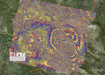
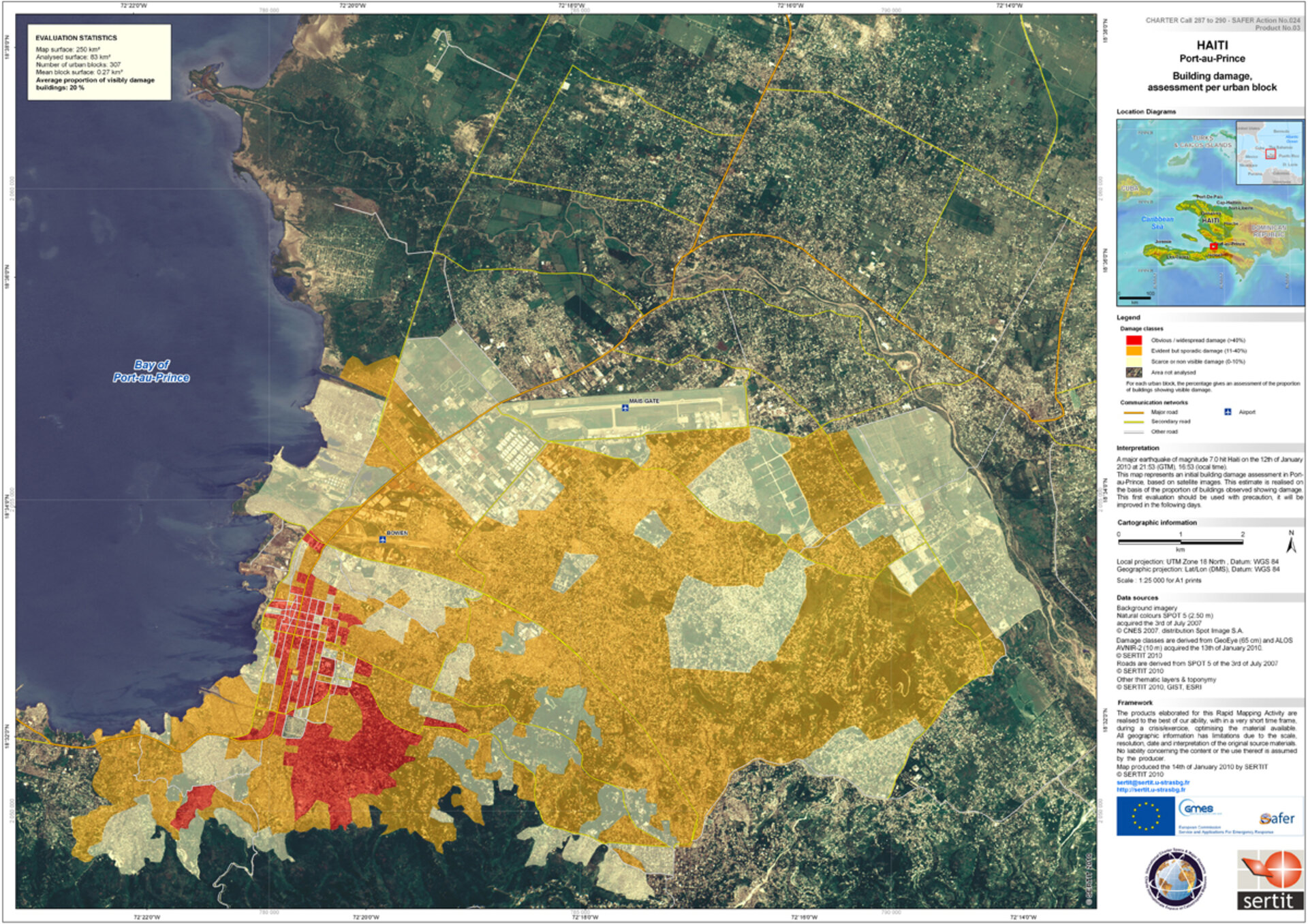
These data are being processed into maps that show the degree of destruction. As soon as new data arrives, updated maps will be produced and made available to the international community. The updates may be accessed by clicking on the links on the right.
Other satellite missions that are complementing those from the Charter include Germany’s TerraSAR-X, Italy’s COSMO-SkyMed, South Korea’s KOMPSAT-2 and the U.S.-based GeoEye-1.
Together with ESA, the Charter currently has 10 members: the French space agency (CNES), the Canadian Space Agency (CSA), the Indian Space Research Organisation (ISRO), the US National Oceanic and Atmospheric Administration (NOAA), the Argentine Space Agency (CONAE), the Japan Aerospace Exploration Agency (JAXA), the British National Space Centre/Disaster Monitoring Constellation (BNSC/DMC), the U.S. Geological Survey (USGS) and the China National Space Administration (CNSA).