Envisat making sharpest ever global Earth map
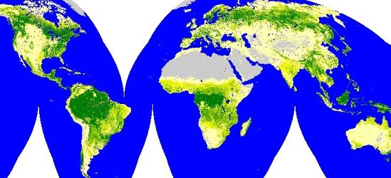
The most detailed portrait ever of the Earth's land surface is being created with ESA's Envisat environmental satellite. The GLOBCOVER project aims at producing a global land cover map to a resolution three times sharper than any previous satellite map.
It will be a unique depiction of the face of our planet in 2005, broken down into more than 20 separate land cover classes. The completed GLOBCOVER map will have numerous uses, including plotting worldwide land use trends, studying natural and managed ecosystems and modelling climate change extent and impacts.
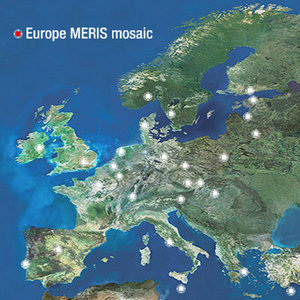
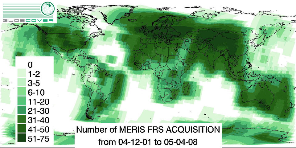
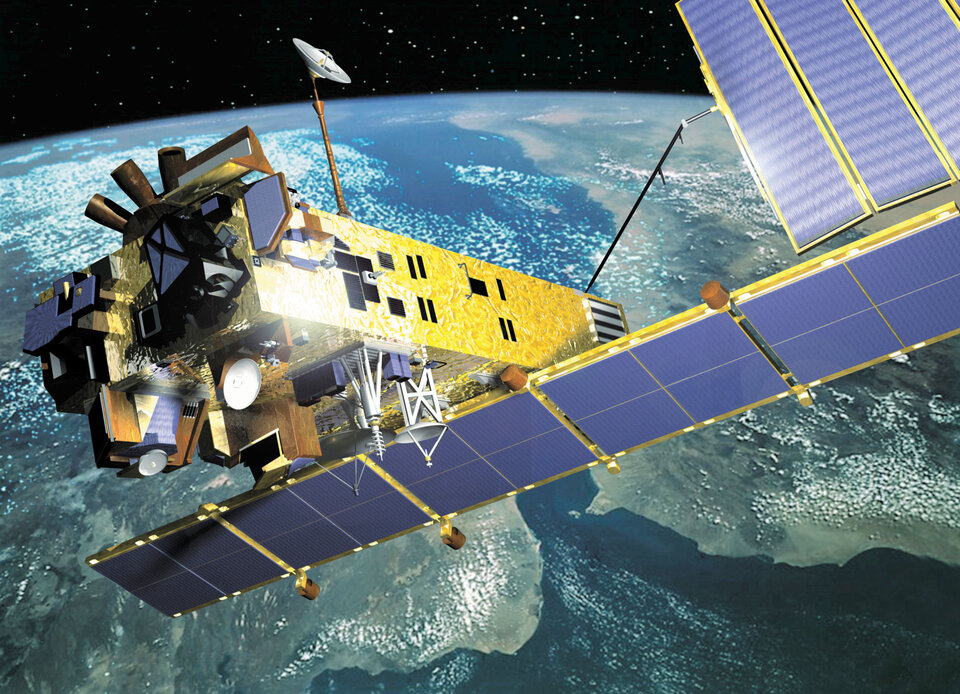
Envisat's Medium Resolution Imaging Spectrometer (MERIS) instrument is being systematically used in Full Resolution Mode for the project, acquiring images with a spatial resolution of 300 metres, with an average 150 minutes of acquisitions occurring daily.
The estimate is that up to 20 terabytes of imagery will be needed to mosaic together the final worldwide GLOBCOVER map – an amount of data equivalent to the contents of 20 million books. The image acquisition strategy is based around regional climate patterns to minimise cloud or snow cover. Multiple acquisitions are planned for some regions to account for seasonal variations in land cover.
Other Envisat sensors will work in synergy with MERIS. The Advanced Synthetic Aperture Radar (ASAR) instrument will be used to differentiate between similar land cover classes, such as wetlands and humid tropical rainforests. And information from the satellite's Advanced Along Track Scanning Radiometer will be used to correct for atmospheric distortion and to perform 'cloud masking', or the elimination of cloud pixels.
An international network of partners is working with ESA on the two-year GLOBCOVER project, which is taking place as part of the Earth Observation Data User Element (DUE).
Participants include the United Nations Environment Programme (UNEP), the Food and Agriculture Organisation (FAO), the European Commission's Joint Research Centre (JRC), the International Geosphere-Biosphere Programme (IGBP) and the Global Observations of Forest Cover and Global Observations of Land Dynamics (GOFC-GOLD) Implementation Team Project Office.
"UNEP anticipates being able to put the GLOBCOVER map to good use within its programme of assessment and early warning of emerging environmental issues and threats, particularly those of a trans-boundary nature," said Ron Witt of UNEP. "Changes in land cover patterns, effects of environmental pollution and loss of biodiversity often do not respect national or other artificial boundaries. "An updated view of such problems - or their effects - from interpreted space imagery should offer a large boost to UNEP's effort to monitor the health of the planet and our changing environment."
Located at Friedrich-Schiller University in Jena, Germany, the GOFC-GOLD Implementation Team Project Office is responsible for developing international standards and methodology for global observations, and is advising GLOBCOVER on classification issues.
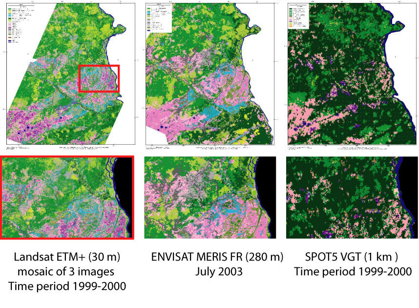
The GLOBCOVER classification system is being designed to be compatible with the Global Land Cover map previously produced for the JRC for the year 2000, a one-kilometre resolution map produced from SPOT-4 Vegetation Instrument data and known as GLC 2000.

GLOBCOVER will also serve to update and improve the European Environment Agency's CORINE 2000 database, a 300-metre resolution land cover map of the European continent based on a combination of updated land cover maps and satellite imagery.
Once worldwide MERIS Full Resolution coverage is achieved, there will actually be two GLOBCOVER maps produced. The first, GLOBCOVER V1, will be produced automatically by mosaicking images together in a standardised way.
The JRC is then utilising its GLC2000 experience to produce the more advanced GLOBCOVER V2 in the second year, taking a regionally-tuned approach to the data. Some 30 teams worldwide will participate in analysing and validating GLOBCOVER products.
Acquired in a standardised 15 bands, the MERIS images are going to be processed with an upgraded algorithm that includes an ortho-rectification tool, correcting for altitude based on a digital elevation model (DEM) derived from the Radar Altimeter-2 (RA-2), another Envisat instrument.