CryoSat ice mission gets clean bill of health
Realising a satellite mission is a complicated task, with many milestones to pass before data are delivered to advance our understanding of Earth. However, scientists will soon have access to precious information on ice thickness as the commissioning of ESA's CryoSat draws to a close.
Since its launch in April, engineers and scientists have been hard at work to ensure the CryoSat Earth Explorer mission is in working order with everything properly tuned. This important phase guarantees that the scientific community receives the best-possible data so that they can build a true picture of what changes are occurring in the fragile polar regions.
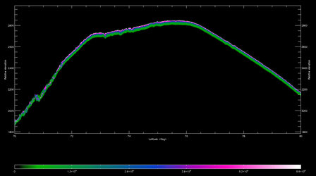
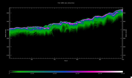
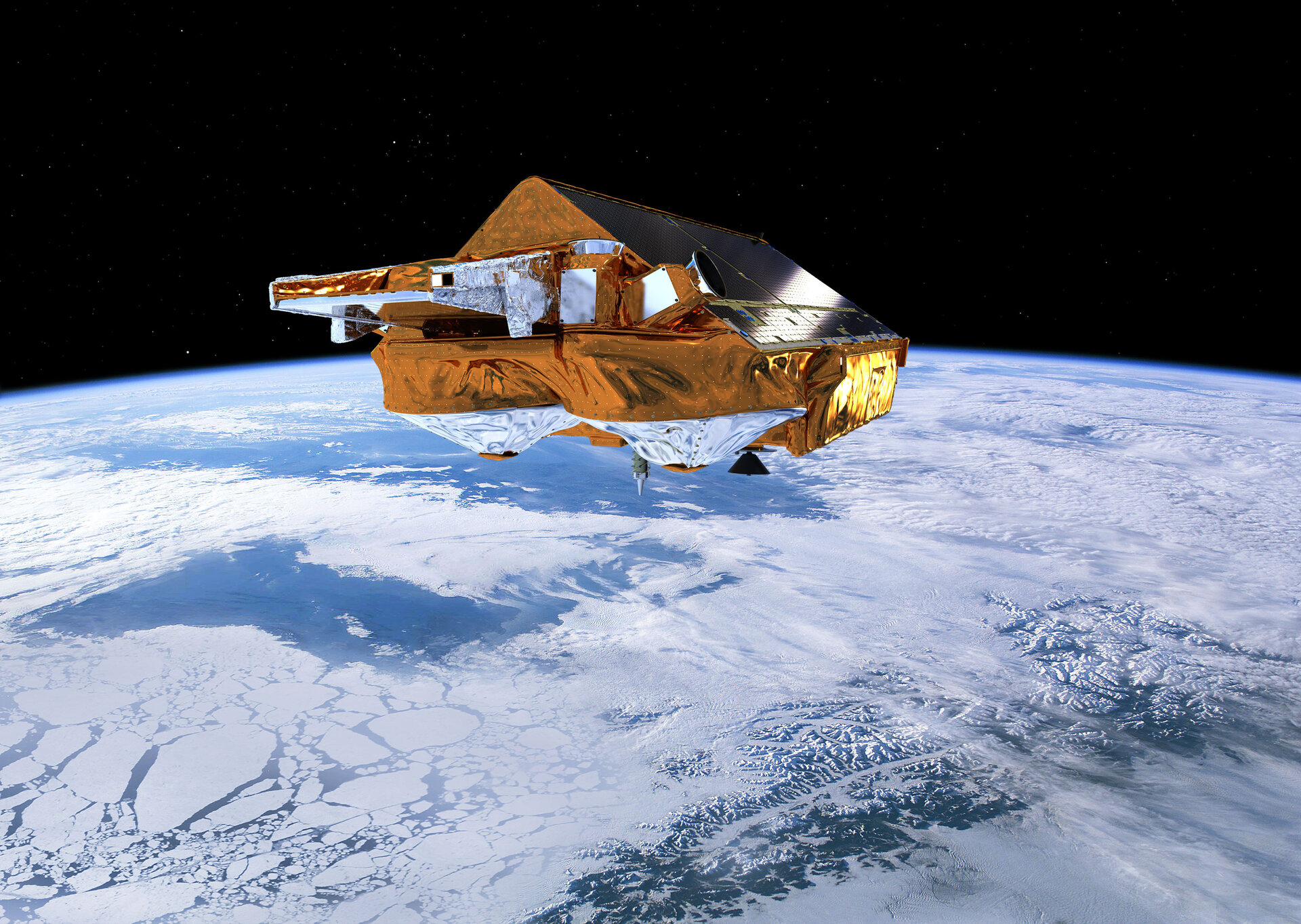
CryoSat is Europe's first mission dedicated to monitoring Earth's ice fields. The satellite carries a sophisticated radar altimeter called SIRAL that can measure the thickness of sea ice to within a few centimetres and also monitor changes in the vast ice sheets blanketing Greenland and Antarctica.

Commissioning is the last milestone before the mission becomes operational and starts delivering usable data. This last phase not only tests how well the satellite and instruments are working in orbit, but also how the data are received and, importantly, the processes involved in turning the raw data into valid products. Typically, this is the time when any teething problems are discovered and ironed out.
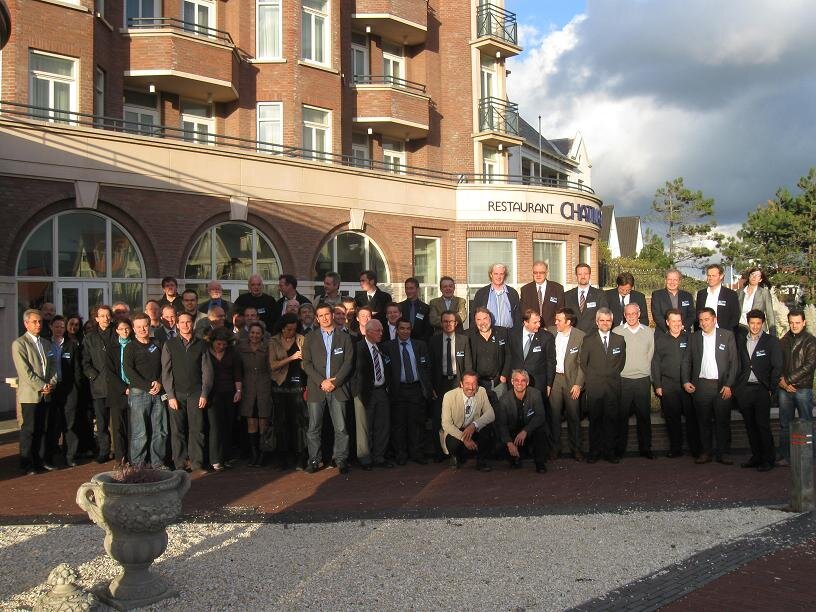
The results of this intense phase were presented to more than 80 scientists and engineers from ESA, industry and universities at the CryoSat-2 Commissioning Results Review, held in Noordwijk, the Netherlands, on 22 October.
ESA's CryoSat-2 Commissioning Manager, Robert Cullen, said, "Commissioning has been a very busy period that has thrown up a number of minor problems in both the space and ground segments. However, thanks to a brilliant team we have handled each of these in turn and now have a very stable system. As a result, we have been able to make some key improvements to the science processors that will soon be ready for operations.
"The SIRAL radar altimeter has proved to work remarkably well and is proving to be highly stable which is key to a mission of this kind. The DORIS orbit determination package is providing very accurate positioning, as expected. The science community are eagerly awaiting CryoSat data, not only for key studies of the cryosphere, but also for other purposes such as for ocean modelling."

Richard Francis, the CryoSat-2 Project Manager, added, "This Review marks the formal end of the contract with Astrium GmbH, who developed the satellite, and it is a very significant milestone. I will soon be handing over my responsibility to Tommaso Parrinello, the Mission Manager, but it will be with a heavy heart as this system is a first-class piece of work, built by a wonderful team."
The original proposal to build a satellite that would measure changes in ice thickness came from Prof. Duncan Wingham from University College London. Summing up at the meeting he said, "Considering this is a low-cost mission, CryoSat arguably carries the finest satellite radar ever flown and has the most effective ground segment I've ever seen.
"It certainly is a high-quality mission thanks to the fantastic response from ESA, industry and the scientific teams involved – a tribute to people rather than process. It's now our turn to put the data to good use and I'm confident that we scientists will do the mission justice."
CryoSat-2 data will be available through a dedicated website at: www.earth.esa.int/cryosat