
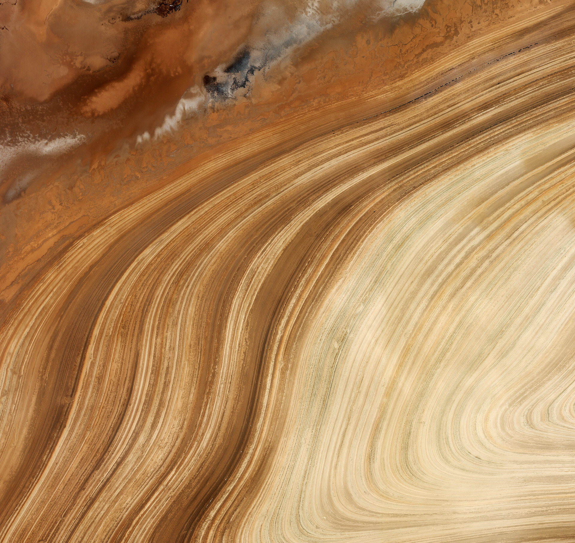
Earth from Space: Golden curves
The curving sands in central northern Iran’s salt desert, Dasht-e Kavir, can be seen in this image from the Ikonos-2 satellite.
Here, clays and sand soils have a high surface salt content owing to the concentration of minerals from high summer evaporation.
Iran is one of the world’s most important mineral producers. Earth-observing satellites – and in particular, high-resolution multispectral imagery – are useful for finding and monitoring natural resources like minerals.
Satellites can directly identify different minerals and recognise large-scale geological structures related to mineral deposits that ground-based surveys may have difficulty detecting.
Near the area pictured are biosphere reserves, national parks and wildlife refuges. When dealing with large, uninhabited areas like this, remote sensing can provide a simple solution to managing protected land.
This image was acquired on 13 November 2008 by Ikonos-2, a commercial satellite that provides panchromatic and multispectral imagery at an extremely high resolution of up to 1 m per pixel.
ESA supports Ikonos-2 as a Third Party Mission, which means that the Agency uses its multi-mission European ground infrastructure and expertise to acquire, process and distribute data from the satellite to its wide scientific user community.
The Image of the Week is featured on ESA Web-TV, broadcast online every Friday at 10:00 CET.

