

ESA sets its sights high with new geostationary satellites
ESA has recently conducted a series of studies to analyse different mission concepts to support Earth observation applications based on high spatial resolution imaging from geostationary satellites.
Satellites circle the Earth in two special ways: polar orbits and geostationary orbits. A satellite in a polar orbit travels over the North and South Poles and views the same point on Earth once every day, at best. A geostationary (GEO) orbit is one in which the satellite is always in the same position with respect to the rotating Earth, making the satellite appear stationary and able to continuously view the same point on Earth.
As GEO satellites view the Earth from a position 36 000 km above it, it is difficult at the moment to achieve resolution better than 1 km from this orbit. The new generation of GEO satellites being studied aim to provide optical images with a resolution between 10 and 100 m with a 5-minute to one-hour revisit capability. They will lay the foundation for new types of remote-sensing applications, which cannot be satisfied by the present satellite systems.

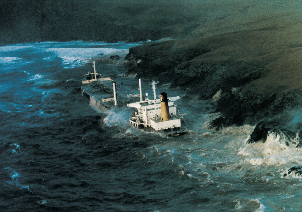
The new generation of GEO satellites would benefit areas of applications that require high spatial and temporal resolutions, possibly with access to satellite observations in near real time. These areas include natural resource monitoring, environmental monitoring, disaster management for natural and manmade hazards, maritime security and surveillance, land security and surveillance and Earth science.
In order to consolidate the mission requirements, ESA will hold a user consultation workshop at its Earth Observation Centre (ESRIN) in Frascati, Italy, on 14 and 15 April 2010. The objective of the workshop is to review and consolidate the demand, in public and private sectors, for a high spatial resolution, fast response and high revisit satellite mission from a GEO orbit, in order to define the primary mission objectives of this new class of satellites.
The two-day workshop is open to all parties and individuals that have an interest in these applications and that are in a position to bring an important contribution. Priority will be given to participants from the end-user communities that would be the real beneficiaries of high-resolution GEO satellite missions.
Detailed information regarding participation, programme and abstract submissions can be found on ESA's Data User Element website.
