-
ImageApplications
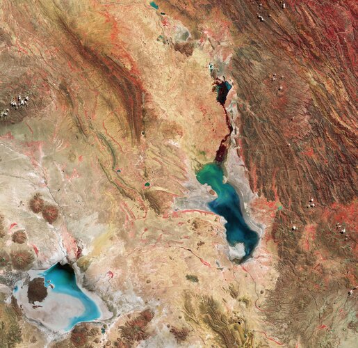
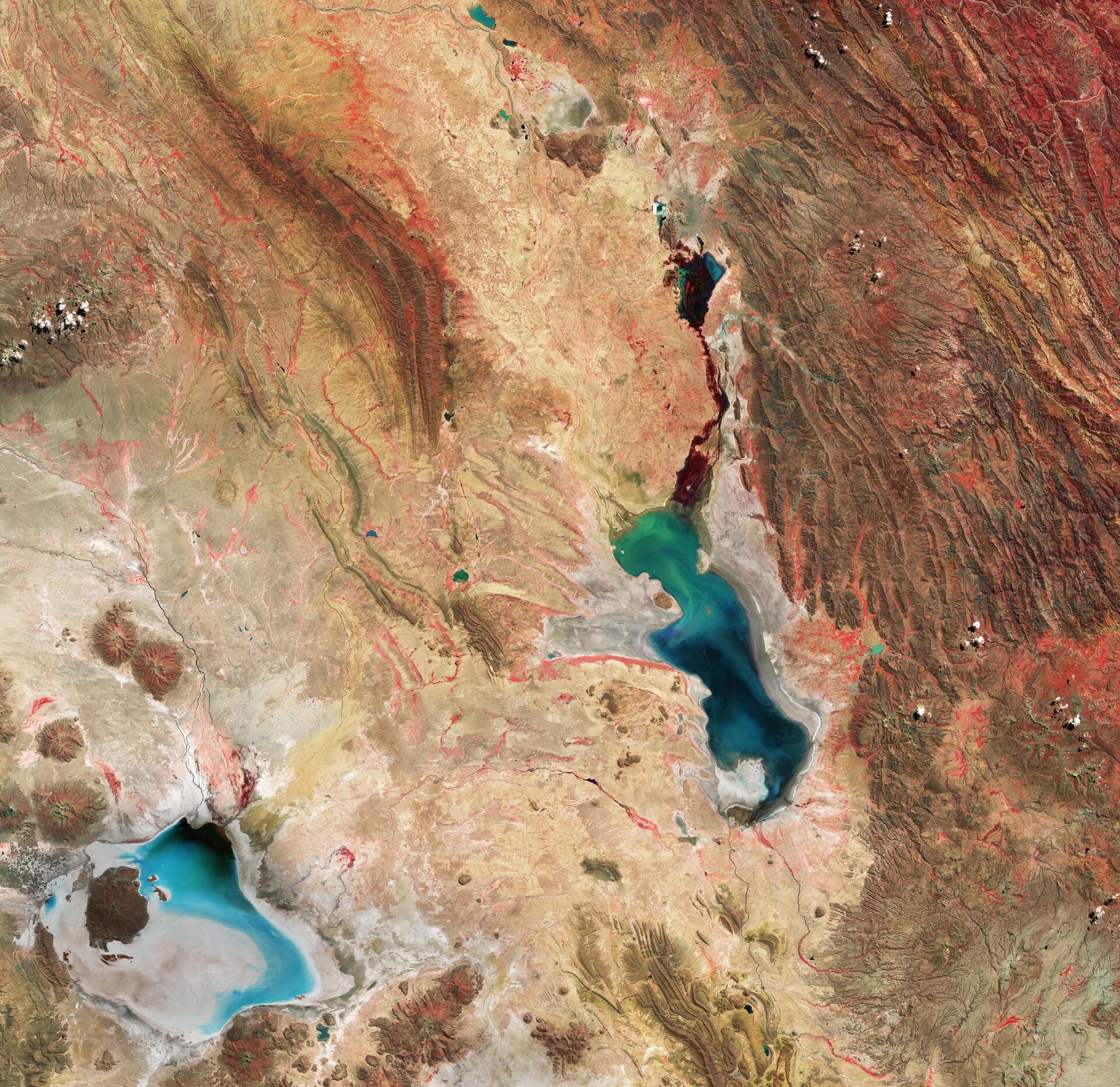
Earth from Space: Bolivian salt lakes

-
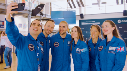
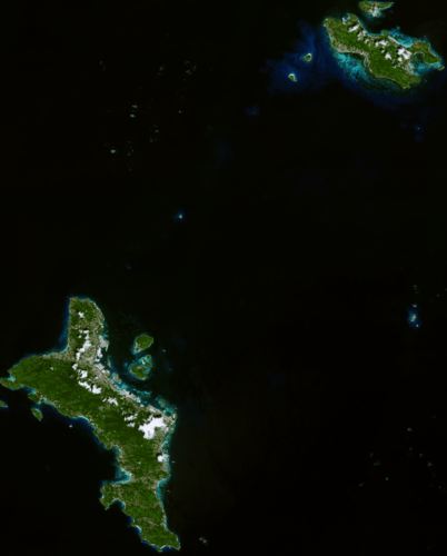
Agency Week in images: 06-10 May 2024
-
StoryScience & Exploration
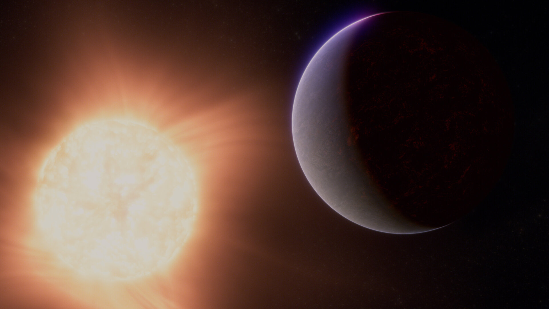
Webb hints at atmosphere around rocky exoplanet
-
VideoScience & Exploration
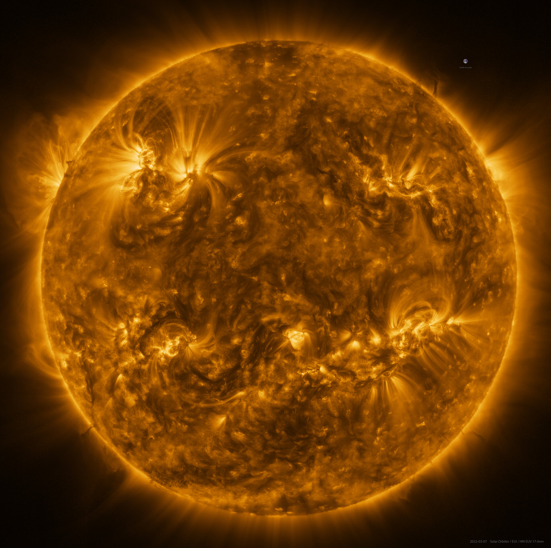
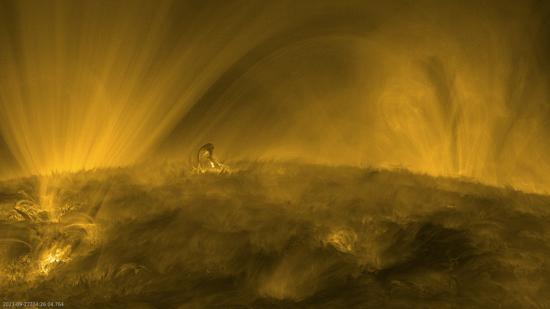
The Sun’s fluffy corona in exquisite detail
-
StoryAgency
Discover ESA Live: a gateway to ESA’s universe for schools

ESA Programmes
ESA and You
In the spotlight


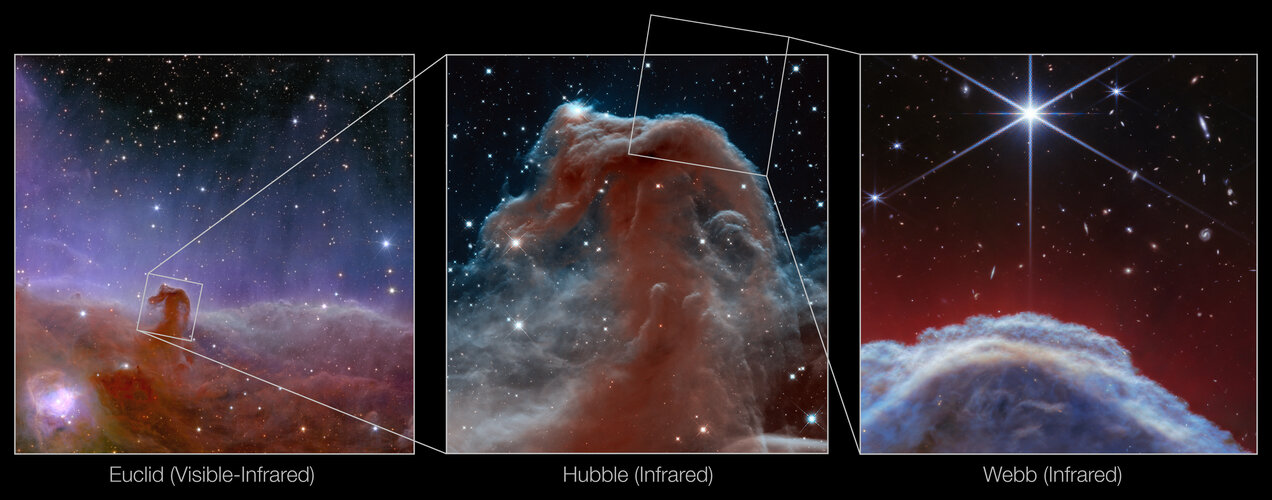
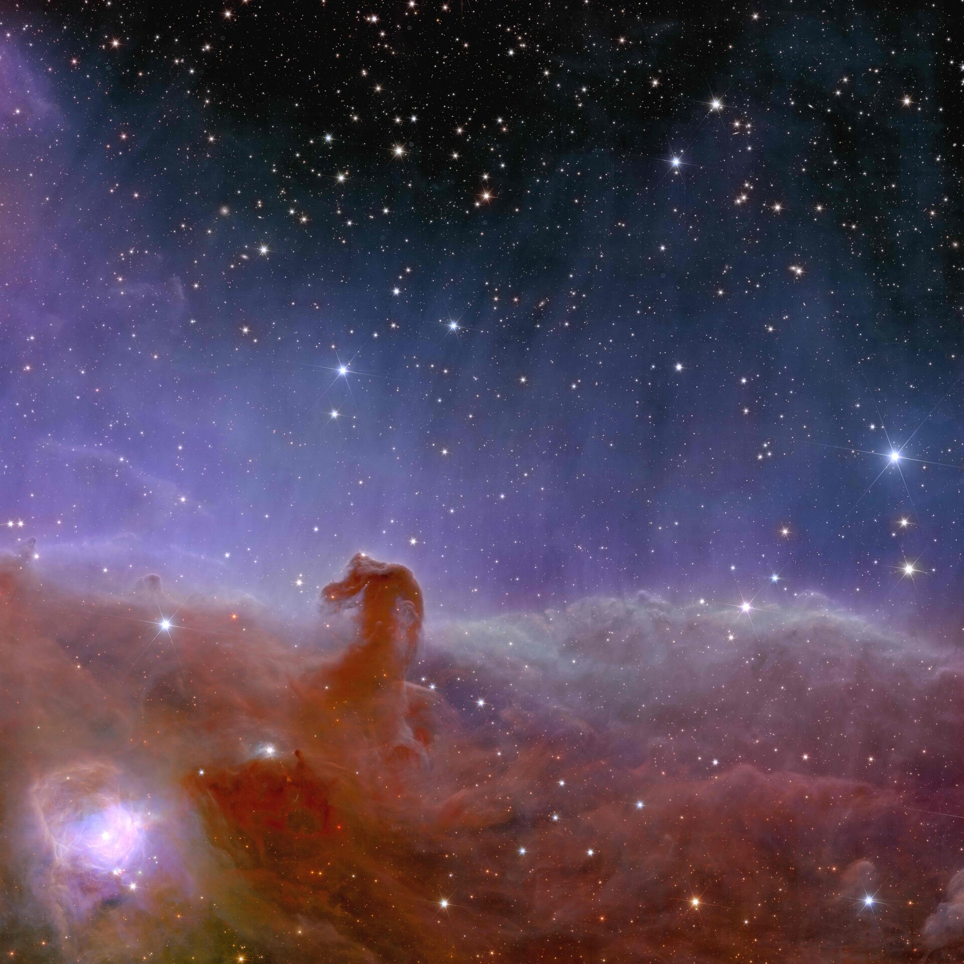
Image
Science & Exploration
Euclid’s view of the Horsehead Nebula
Recommended


Image
Science & Exploration
The Sun in high resolution