Applications
Galileo
Latest
All
Stories
Videos
Images
Story
Applications
What is Galileo?
702432
views
1715
likes
Read
Story
Applications
Galileo goes to the Moon
07/04/2026
1364
views
17
likes
Read
Story
Applications
Galileo vs. spoofing: ESA tests in real-world environments
24/02/2026
1502
views
18
likes
Read
Story
Applications
Three ways R&D has shaped Galileo Second Generation
05/02/2026
2140
views
24
likes
Read
Video
00:05:30
Applications
Galileo: the journey of satellites 33 and 34
19/12/2025
3060
views
44
likes
Play
Video
02:54:11
Applications
Replay: Galileo L14 launch coverage
18/12/2025
333
views
1
likes
Play
Story
Applications
Galileo’s first Ariane 6 launch strengthens European resili…
17/12/2025
6622
views
65
likes
Read
Video
00:03:01
Applications
Galileo L14 launch highlights
17/12/2025
1211
views
22
likes
Play
Video
00:01:06
Applications
Galileo L14 liftoff on Ariane 6
17/12/2025
3712
views
92
likes
Play
Video
00:02:22
Applications
Ariane 6 for Galileo
16/12/2025
633
views
5
likes
Play
Story
Applications
Watch live: Galileo launch on Ariane 6
12/12/2025
12926
views
86
likes
Read
Image
Applications
Galileo L14 poster
10/12/2025
825
views
9
likes
View
Image
Applications
Galileo launch history
08/12/2025
3759
views
48
likes
View
More items
More about Galileo
What is Galileo?
Galileo is here
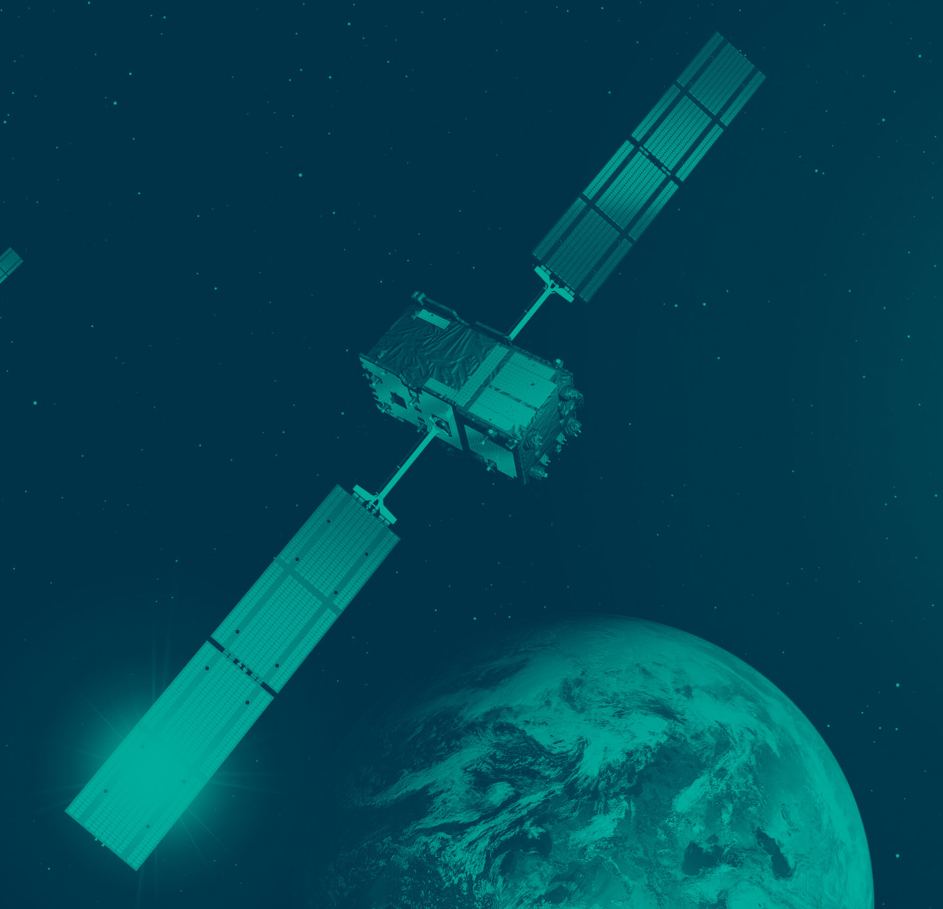
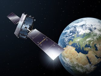
Galileo : a constellation of navigation satellites
Building Galileo
Galileo constellation status
Facts and figures
Satellite anatomy
Galileo partners
Steps so far
Galileo on the ground
Galileo’s clocks
Next steps
Launching Galileo
Galileo's launchers
Galileo's launch site
Resources
Galileo factsheet (PDF)
Galileo: the future becomes reality - brochure (PDF)
Recommended
Focus on
What is Galileo?
Open
Focus on
Galileo Tour
Open
Focus on
GIOVE-A launch
Open
Focus on
GIOVE-B launch
Open
Focus on
Galileo testbeds
Open
Focus on
First two satellites
Open
Focus on
Frequency filings
Open
Focus on
Overview
Open
Focus on
In-orbit validation system: the first 4 satellites
Open
Focus on
Overview
Open
Focus on
The constellation: 27 satellites + 3 in reserve
Open
Focus on
Galileo system
Open
Focus on
Galileo signals and frequencies
Open
Focus on
How do the Galileo clocks work ?
Open
Focus on
Receivers
Open
Focus on
Services
Open
Focus on
Galileo website (European Commission)
Open
Focus on
European GNSS Agency, GSA
Open
Focus on
GPS
Open
Related
Focus on
Applications
Satellite navigation
Open
Focus on
EGNOS
Open
Focus on
Evolution
Open
Story
Applications
About NAVISP
32427
views
138
likes
Read
European Space Agency
 Applications